565 Pine Plain Rd Gaston, SC 29053
Estimated Value: $291,000 - $362,169
3
Beds
2
Baths
2,072
Sq Ft
$156/Sq Ft
Est. Value
About This Home
This home is located at 565 Pine Plain Rd, Gaston, SC 29053 and is currently estimated at $323,042, approximately $155 per square foot. 565 Pine Plain Rd is a home located in Lexington County with nearby schools including Herbert A. Wood Elementary School, Pine Ridge Middle School, and Airport High School.
Ownership History
Date
Name
Owned For
Owner Type
Purchase Details
Closed on
Nov 3, 2015
Sold by
Dawson C Heyward and Dawson Emily H
Bought by
Dawson Edmond Durrell
Current Estimated Value
Home Financials for this Owner
Home Financials are based on the most recent Mortgage that was taken out on this home.
Original Mortgage
$170,050
Interest Rate
3.93%
Mortgage Type
New Conventional
Purchase Details
Closed on
Oct 1, 2015
Sold by
Dawson Emily H
Bought by
Newlin John Lashley and Newlin Jeanalyn Michelle
Home Financials for this Owner
Home Financials are based on the most recent Mortgage that was taken out on this home.
Original Mortgage
$170,050
Interest Rate
3.93%
Mortgage Type
New Conventional
Purchase Details
Closed on
Apr 8, 2013
Sold by
Estate Of Clarence Heyward Dawson Jr
Bought by
Dawson Emily H
Create a Home Valuation Report for This Property
The Home Valuation Report is an in-depth analysis detailing your home's value as well as a comparison with similar homes in the area
Home Values in the Area
Average Home Value in this Area
Purchase History
| Date | Buyer | Sale Price | Title Company |
|---|---|---|---|
| Dawson Edmond Durrell | -- | None Available | |
| Dawson Edmond Durrell | -- | None Available | |
| Newlin John Lashley | $179,000 | None Available | |
| Dawson Emily H | -- | -- |
Source: Public Records
Mortgage History
| Date | Status | Borrower | Loan Amount |
|---|---|---|---|
| Previous Owner | Newlin John Lashley | $170,050 |
Source: Public Records
Tax History Compared to Growth
Tax History
| Year | Tax Paid | Tax Assessment Tax Assessment Total Assessment is a certain percentage of the fair market value that is determined by local assessors to be the total taxable value of land and additions on the property. | Land | Improvement |
|---|---|---|---|---|
| 2024 | $851 | $5,890 | $632 | $5,258 |
| 2023 | $851 | $5,890 | $632 | $5,258 |
| 2022 | $850 | $5,890 | $632 | $5,258 |
| 2020 | $10 | $5,890 | $632 | $5,258 |
| 2019 | $10 | $5,445 | $493 | $4,952 |
| 2018 | $807 | $5,445 | $493 | $4,952 |
| 2017 | $777 | $5,445 | $493 | $4,952 |
| 2016 | $798 | $5,444 | $492 | $4,952 |
| 2015 | $558 | $5,745 | $352 | $5,393 |
| 2014 | $347 | $5,732 | $352 | $5,380 |
| 2013 | -- | $5,730 | $350 | $5,380 |
Source: Public Records
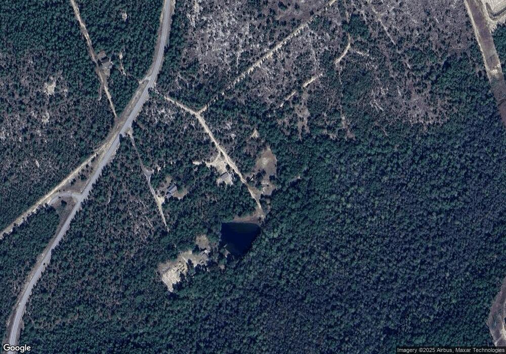
Map
Nearby Homes
- 442 Savany Hunt Creek Rd
- 811 Nilo Farms Way
- 816 Nilo Farms Way
- 808 Nilo Farms Way
- 331 Silver Spur Way
- 325 Silver Spur Way
- 847 Nilo Farms Way
- 602 Rustic Cabin Ln
- 617 Rustic Cabin Ln
- 272 Woodcote Dr
- 017 River Mill Way
- 016 River Mill Way
- 015 River Mill Way
- 780 Old State Rd
- 172 Heather Ridge Dr
- tbd Mack St
- 0 Bachman Rd Unit 606100
- 120 Heather Ridge Dr
- 212 Paula Ct
- 132 Heather Ridge Dr
- 561 Pine Plain Rd
- 551 Pine Plain Rd
- 122 King Buck Dr
- 173 King Buck Dr
- 178 King Buck Dr
- 169 King Buck Dr
- 179 King Buck Dr
- 123 King Buck Dr
- 157 King Buck Dr
- 138 King Buck Dr
- 153 King Buck Dr
- 149 King Buck Dr
- 119 King Buck Dr
- 127 King Buck Dr
- 139 King Buck Dr
- 168 King Buck Dr
- 135 King Buck Dr
- 165 King Buck Dr
- 130 King Buck Dr
- 118 King Buck Dr