565 Power Line Rd Hayfork, CA 96041
Estimated Value: $275,000 - $333,285
2
Beds
1
Bath
1,400
Sq Ft
$214/Sq Ft
Est. Value
About This Home
This home is located at 565 Power Line Rd, Hayfork, CA 96041 and is currently estimated at $299,071, approximately $213 per square foot. 565 Power Line Rd is a home located in Trinity County with nearby schools including Hayfork High School.
Ownership History
Date
Name
Owned For
Owner Type
Purchase Details
Closed on
Apr 3, 2024
Sold by
Yang Nhia Pao
Bought by
Yang Robert Ger
Current Estimated Value
Purchase Details
Closed on
Dec 6, 2017
Sold by
Yang Janet Mor
Bought by
Yang Nhia Pao
Purchase Details
Closed on
May 21, 2015
Sold by
Thao Youa
Bought by
Yang Nhia Pao
Home Financials for this Owner
Home Financials are based on the most recent Mortgage that was taken out on this home.
Original Mortgage
$130,000
Interest Rate
3.64%
Mortgage Type
Seller Take Back
Purchase Details
Closed on
Oct 20, 2003
Sold by
Smith Marianne
Bought by
Rohrmann Richard and Rohrmann Bertha
Purchase Details
Closed on
Jul 11, 2003
Sold by
Hammons Stephen D and Smith Marianne
Bought by
Smith Marianne
Create a Home Valuation Report for This Property
The Home Valuation Report is an in-depth analysis detailing your home's value as well as a comparison with similar homes in the area
Home Values in the Area
Average Home Value in this Area
Purchase History
| Date | Buyer | Sale Price | Title Company |
|---|---|---|---|
| Yang Robert Ger | -- | None Listed On Document | |
| Yang Nhia Pao | -- | None Available | |
| Yang Nhia Pao | -- | Placer Title Company | |
| Yang Janet Mor | -- | Placer Title Company | |
| Yang Nhia Pao | $260,000 | Placer Title Company | |
| Rohrmann Richard | $115,000 | First American Title Co | |
| Smith Marianne | $42,500 | First American Title Co |
Source: Public Records
Mortgage History
| Date | Status | Borrower | Loan Amount |
|---|---|---|---|
| Previous Owner | Yang Nhia Pao | $130,000 |
Source: Public Records
Tax History
| Year | Tax Paid | Tax Assessment Tax Assessment Total Assessment is a certain percentage of the fair market value that is determined by local assessors to be the total taxable value of land and additions on the property. | Land | Improvement |
|---|---|---|---|---|
| 2025 | $6,747 | $370,000 | $160,000 | $210,000 |
| 2024 | $6,773 | $616,074 | $220,890 | $395,184 |
| 2023 | $6,773 | $603,995 | $216,559 | $387,436 |
| 2022 | $6,499 | $592,153 | $212,313 | $379,840 |
| 2021 | $3,132 | $300,543 | $208,150 | $92,393 |
| 2020 | $3,155 | $297,462 | $206,016 | $91,446 |
| 2019 | $3,154 | $291,630 | $201,977 | $89,653 |
| 2018 | $2,820 | $275,913 | $191,017 | $84,896 |
| 2017 | $2,811 | $270,504 | $187,272 | $83,232 |
| 2016 | $2,701 | $265,200 | $183,600 | $81,600 |
| 2015 | $1,331 | $136,032 | $47,313 | $88,719 |
| 2014 | $1,311 | $133,369 | $46,387 | $86,982 |
Source: Public Records
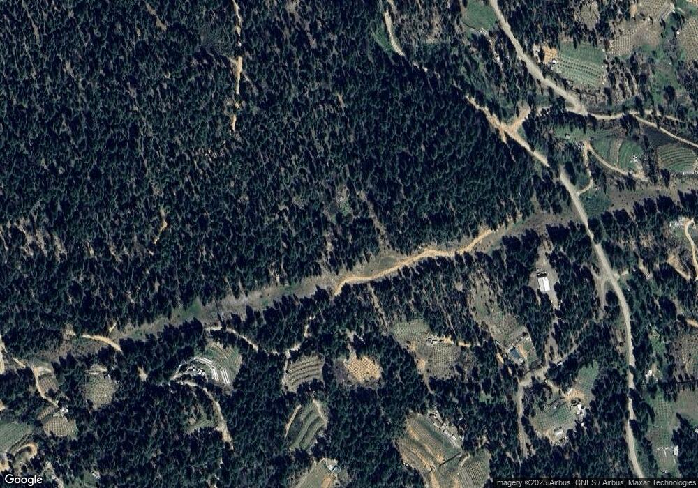
Map
Nearby Homes
- 133 Autumn Ct
- 721 White Oak Rd
- 740 Trinity Pines Dr
- 920 Chrome Mine
- 430 Trinity Pines
- 91 Bass Ln
- 220 Westridge
- 2020 Trinity Pines Dr
- 1480 Pine Forest Dr
- 440 Sandridge Ct
- 451 Pine Cone Ln
- 257 Evening Star
- 370 Horseshoe Loop
- 360 Whispering Pines Rd
- 1050 Rowdy Bear
- 7081 Rattlesnake
- 2150 Salt Gulch Rd
- 3231 California 3
- 3180 State Highway 3
- 144 S Salt Creek Rd
Your Personal Tour Guide
Ask me questions while you tour the home.