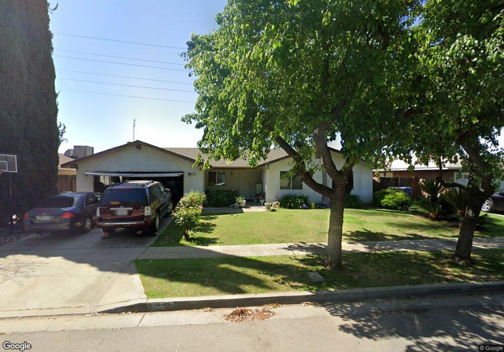
5652 E Grant Ave Fresno, CA 93727
Sunnyside NeighborhoodEstimated Value: $378,000 - $414,000
3
Beds
2
Baths
1,799
Sq Ft
$216/Sq Ft
Est. Value
About This Home
This home is located at 5652 E Grant Ave, Fresno, CA 93727 and is currently estimated at $388,869, approximately $216 per square foot. 5652 E Grant Ave is a home located in Fresno County with nearby schools including Temperance-Kutner Elementary School, Reyburn Intermediate School, and Clovis East High School.
Ownership History
Date
Name
Owned For
Owner Type
Purchase Details
Closed on
Jan 22, 1997
Sold by
Weston Vickie L
Bought by
Weston Vickie L and Birdsong Clinton R
Current Estimated Value
Home Financials for this Owner
Home Financials are based on the most recent Mortgage that was taken out on this home.
Original Mortgage
$97,750
Interest Rate
7.58%
Purchase Details
Closed on
Mar 7, 1995
Sold by
Weston Jerry R
Bought by
Weston Vickie L
Home Financials for this Owner
Home Financials are based on the most recent Mortgage that was taken out on this home.
Original Mortgage
$65,000
Interest Rate
8.86%
Create a Home Valuation Report for This Property
The Home Valuation Report is an in-depth analysis detailing your home's value as well as a comparison with similar homes in the area
Home Values in the Area
Average Home Value in this Area
Purchase History
| Date | Buyer | Sale Price | Title Company |
|---|---|---|---|
| Weston Vickie L | -- | Chicago Title Co | |
| Weston Vickie L | -- | Chicago Title Company |
Source: Public Records
Mortgage History
| Date | Status | Borrower | Loan Amount |
|---|---|---|---|
| Closed | Weston Vickie L | $97,750 | |
| Closed | Weston Vickie L | $65,000 |
Source: Public Records
Tax History Compared to Growth
Tax History
| Year | Tax Paid | Tax Assessment Tax Assessment Total Assessment is a certain percentage of the fair market value that is determined by local assessors to be the total taxable value of land and additions on the property. | Land | Improvement |
|---|---|---|---|---|
| 2025 | $1,859 | $161,699 | $46,600 | $115,099 |
| 2023 | $1,859 | $155,423 | $44,792 | $110,631 |
| 2022 | $1,796 | $152,376 | $43,914 | $108,462 |
| 2021 | $1,745 | $149,389 | $43,053 | $106,336 |
| 2020 | $1,737 | $147,858 | $42,612 | $105,246 |
| 2019 | $1,702 | $144,960 | $41,777 | $103,183 |
| 2018 | $1,664 | $142,118 | $40,958 | $101,160 |
| 2017 | $1,634 | $139,332 | $40,155 | $99,177 |
| 2016 | $1,578 | $136,601 | $39,368 | $97,233 |
| 2015 | $1,553 | $134,550 | $38,777 | $95,773 |
| 2014 | $1,523 | $131,915 | $38,018 | $93,897 |
Source: Public Records
Map
Nearby Homes
- 5576 E Belmont Ave
- 5771 E Belmont Ave
- 5527 E Grant Ave
- 5846 E Grant Ave
- 5882 E Washington Ave
- 5894 E Madison Ave
- 6080 E Platt Ave
- 252 S Kona Ave
- 263 N Stanford Ave
- 350 S Argyle Ave Unit 103
- 350 S Argyle Ave Unit 101
- 372 S Argyle Ave Unit 102
- 342 N Minnewawa Ave
- 6551 E Cresthaven Dr
- 5652 E Dayton Ave
- 6528 E Clingstone Dr
- 6573 E Clingstone Dr
- 6555 E Blushing Dr
- 5407 E Tulare St
- 337 S Stanford Ave
- 5648 E Grant Ave
- 5656 E Grant Ave
- 5644 E Grant Ave
- 5660 E Grant Ave
- 396 N Larkin Ave
- 411 N Larkin Ave
- 5640 E Grant Ave
- 5664 E Grant Ave
- 395 N Phillip Ave
- 410 N Larkin Ave
- 407 N Phillip Ave
- 421 N Larkin Ave
- 414 N Sabre Dr
- 5668 E Grant Ave
- 420 N Larkin Ave
- 417 N Phillip Ave
- 431 N Larkin Ave
- 426 N Sabre Dr
- 430 N Larkin Ave
- 5672 E Grant Ave