5653 Taft Ave SE Lone Tree, IA 52755
Estimated Value: $331,000 - $732,000
3
Beds
3
Baths
1,685
Sq Ft
$322/Sq Ft
Est. Value
About This Home
This home is located at 5653 Taft Ave SE, Lone Tree, IA 52755 and is currently estimated at $542,614, approximately $322 per square foot. 5653 Taft Ave SE is a home located in Johnson County with nearby schools including Lone Tree Elementary School and Lone Tree Junior/Senior High School.
Ownership History
Date
Name
Owned For
Owner Type
Purchase Details
Closed on
Jan 6, 2012
Sold by
Parizek John A
Bought by
Parizek John A and Parizek Tara L
Current Estimated Value
Home Financials for this Owner
Home Financials are based on the most recent Mortgage that was taken out on this home.
Original Mortgage
$230,700
Outstanding Balance
$23,797
Interest Rate
3.25%
Mortgage Type
New Conventional
Estimated Equity
$518,817
Purchase Details
Closed on
Jul 31, 2007
Sold by
Houser Daniel J and Houser Renee M
Bought by
Parizek John A
Home Financials for this Owner
Home Financials are based on the most recent Mortgage that was taken out on this home.
Original Mortgage
$28,500
Interest Rate
6.73%
Mortgage Type
Purchase Money Mortgage
Create a Home Valuation Report for This Property
The Home Valuation Report is an in-depth analysis detailing your home's value as well as a comparison with similar homes in the area
Home Values in the Area
Average Home Value in this Area
Purchase History
| Date | Buyer | Sale Price | Title Company |
|---|---|---|---|
| Parizek John A | -- | None Available | |
| Parizek John A | $285,000 | None Available |
Source: Public Records
Mortgage History
| Date | Status | Borrower | Loan Amount |
|---|---|---|---|
| Open | Parizek John A | $230,700 | |
| Closed | Parizek John A | $28,500 |
Source: Public Records
Tax History Compared to Growth
Tax History
| Year | Tax Paid | Tax Assessment Tax Assessment Total Assessment is a certain percentage of the fair market value that is determined by local assessors to be the total taxable value of land and additions on the property. | Land | Improvement |
|---|---|---|---|---|
| 2025 | $5,348 | $544,600 | $168,500 | $376,100 |
| 2024 | $5,122 | $452,900 | $88,500 | $364,400 |
| 2023 | $5,092 | $452,900 | $88,500 | $364,400 |
| 2022 | $5,036 | $384,700 | $74,600 | $310,100 |
| 2021 | $4,864 | $384,700 | $74,600 | $310,100 |
| 2020 | $4,864 | $355,200 | $74,600 | $280,600 |
| 2019 | $3,642 | $386,600 | $106,000 | $280,600 |
| 2018 | $3,584 | $295,900 | $97,700 | $198,200 |
| 2017 | $3,632 | $295,900 | $97,700 | $198,200 |
| 2016 | $3,428 | $257,600 | $65,200 | $192,400 |
| 2015 | $3,428 | $257,600 | $65,200 | $192,400 |
| 2014 | $3,150 | $234,150 | $57,250 | $176,900 |
Source: Public Records
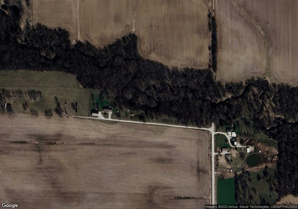
Map
Nearby Homes
- 5888 Sand Rd SE
- 745 N Perkins St
- 0 520th St SE
- 219 Taylor Dr
- 221 W Commercial St
- 201 N Devoe St
- 407 E Elm St
- 203 W Dougherty Dr
- 500 S Center St
- 106 Dorothy Ln
- 1092 Walnut Ave Unit 114 Bld D
- 1049 Vine Ave
- 121 Brady St
- 3135 115th St
- 5317 Oak Crest Hill Rd SE
- 201 Sierra Park Dr
- 41 Williams Cir
- 5319 Oak Crest Hill Rd SE
- 5241 Oak Crest Hill Rd SE
- 5239 Oak Crest Hill Rd SE
- 5655 Taft Ave SE
- 5656 Taft Ave SE
- 5676 Taft Ave SE
- 4729 560th St SE
- 4752 560th St SE
- 5712 Taft Ave SE
- 4636 560th St SE
- 5540 Taft Ave SE
- 5531 Taft Ave SE
- 4889 560th St SE
- 5624 Sioux Ave SE
- 4860 580th St SE
- 4906 580th St SE
- 5691 Sioux Ave SE
- 4586 560th St SE
- 5780 Sioux Ave SE
- 5665 Sioux Ave SE
- 5465 Taft Ave SE