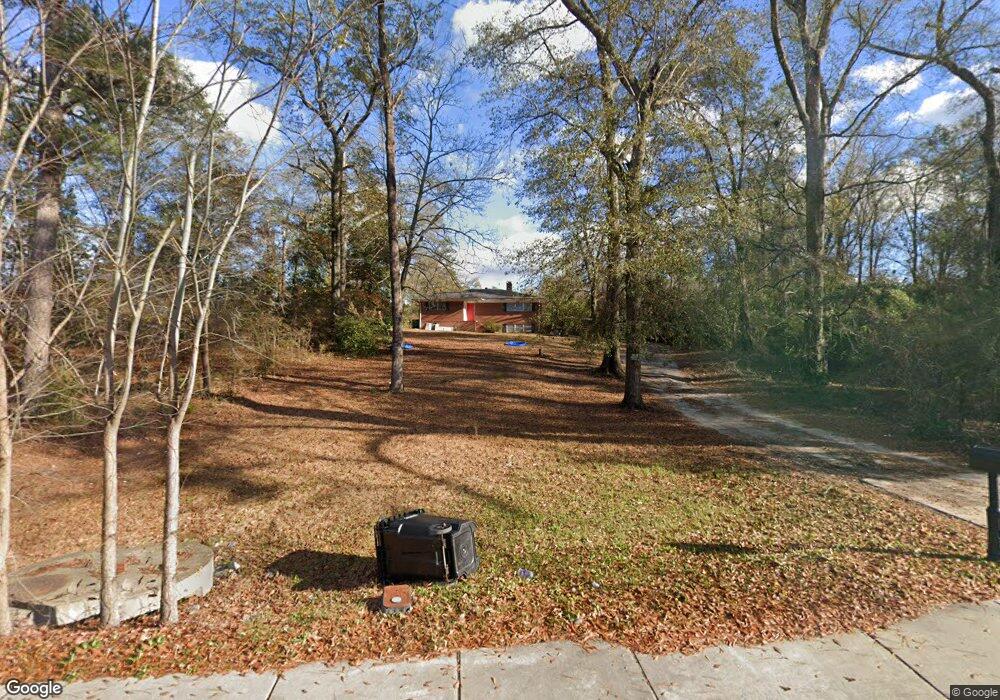
5656 Forrest Rd Columbus, GA 31907
Eastern Columbus NeighborhoodEstimated Value: $223,000 - $264,000
3
Beds
3
Baths
2,061
Sq Ft
$116/Sq Ft
Est. Value
About This Home
This home is located at 5656 Forrest Rd, Columbus, GA 31907 and is currently estimated at $240,082, approximately $116 per square foot. 5656 Forrest Rd is a home located in Muscogee County with nearby schools including Forrest Road Elementary School, Fort Middle School, and Kendrick High School.
Ownership History
Date
Name
Owned For
Owner Type
Purchase Details
Closed on
Dec 14, 2017
Sold by
Financial Associates Inc
Bought by
Westbrook Angelia
Current Estimated Value
Home Financials for this Owner
Home Financials are based on the most recent Mortgage that was taken out on this home.
Original Mortgage
$140,000
Outstanding Balance
$117,898
Interest Rate
3.95%
Mortgage Type
VA
Estimated Equity
$122,184
Purchase Details
Closed on
Dec 8, 2006
Sold by
Theel Dennis R and Theel Bonnie E
Bought by
Financial Associates Inc
Create a Home Valuation Report for This Property
The Home Valuation Report is an in-depth analysis detailing your home's value as well as a comparison with similar homes in the area
Home Values in the Area
Average Home Value in this Area
Purchase History
| Date | Buyer | Sale Price | Title Company |
|---|---|---|---|
| Westbrook Angelia | $140,000 | -- | |
| Financial Associates Inc | $124,700 | None Available |
Source: Public Records
Mortgage History
| Date | Status | Borrower | Loan Amount |
|---|---|---|---|
| Open | Westbrook Angelia | $140,000 |
Source: Public Records
Tax History Compared to Growth
Tax History
| Year | Tax Paid | Tax Assessment Tax Assessment Total Assessment is a certain percentage of the fair market value that is determined by local assessors to be the total taxable value of land and additions on the property. | Land | Improvement |
|---|---|---|---|---|
| 2025 | $3,328 | $85,028 | $14,972 | $70,056 |
| 2024 | $3,328 | $85,028 | $14,972 | $70,056 |
| 2023 | $3,349 | $85,028 | $14,972 | $70,056 |
| 2022 | $2,676 | $65,532 | $14,972 | $50,560 |
| 2021 | $2,214 | $54,212 | $14,972 | $39,240 |
| 2020 | $2,214 | $54,212 | $14,972 | $39,240 |
| 2019 | $2,221 | $54,212 | $14,972 | $39,240 |
| 2018 | $2,221 | $54,212 | $14,972 | $39,240 |
| 2017 | $2,977 | $72,420 | $14,972 | $57,448 |
| 2016 | $2,025 | $49,086 | $7,102 | $41,984 |
| 2015 | $811 | $49,086 | $7,102 | $41,984 |
| 2014 | $812 | $49,086 | $7,102 | $41,984 |
| 2013 | -- | $49,086 | $7,102 | $41,984 |
Source: Public Records
Map
Nearby Homes
- 5833 Gleneden Dr
- 5920 Gleneden Dr
- 2807 Doyle Ave
- 2525 Corineth Dr
- 5929 Gleneden Dr
- 2501 White Chapel Dr
- 2505 White Chapel Dr
- 6059 Nassau Cir
- 5906 Forrest Rd
- 2249 Mahan Dr
- 5759 Forrest Rd
- 2940 Urban Ave
- 2307 Skylake Dr
- 6000 Caribou Dr
- 2520 Harwich Cir
- 6028 Caribou Dr
- 2672 Honeysuckle Dr
- 1524 Hagan Dr
- 5225 Orange Dr
- 3027 Lansing Ave
- 5589 Poydasheff Ct
- 5591 Poydasheff Ct
- 5622 Col Dick McKee Dr
- 5588 Poydasheff Ct
- 5620 Col Dick McKee Dr
- 5593 Poydasheff Ct
- 5590 Poydasheff Ct
- 5618 Col Dick McKee Dr
- 5595 Poydasheff Ct
- 5629 Forrest Rd
- 5630 Forrest Rd
- 5592 Poydasheff Ct
- 5616 Col Dick McKee Dr
- 0 Poydasheff Ct Unit 7339916
- 0 Poydasheff Ct
- 5647 Forrest Rd
- 5639 Forrest Rd
- 5597 Poydasheff Ct
- 5655 Forrest Rd
- 5614 Col Dick McKee Dr