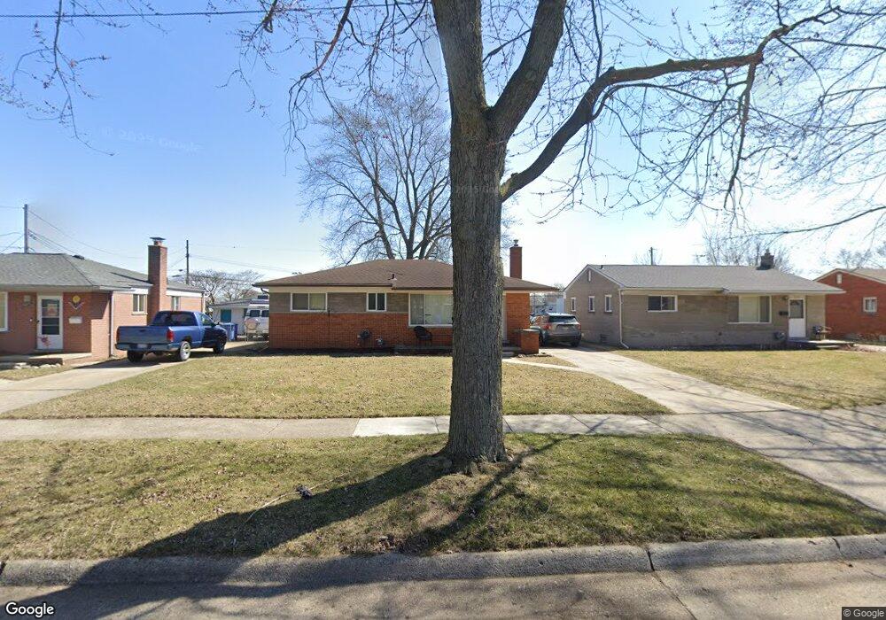
5658 Lowe Ave Warren, MI 48092
Northwest Warren NeighborhoodEstimated Value: $234,466 - $270,000
3
Beds
2
Baths
1,287
Sq Ft
$200/Sq Ft
Est. Value
About This Home
This home is located at 5658 Lowe Ave, Warren, MI 48092 and is currently estimated at $257,617, approximately $200 per square foot. 5658 Lowe Ave is a home located in Macomb County with nearby schools including Green Acres Elementary School, Beer Middle School, and Warren Mott High School.
Ownership History
Date
Name
Owned For
Owner Type
Purchase Details
Closed on
Jul 15, 2021
Sold by
Flemington Joseph Daniel
Bought by
Flemington Joseph Daniel and Greig Alyssa
Current Estimated Value
Home Financials for this Owner
Home Financials are based on the most recent Mortgage that was taken out on this home.
Original Mortgage
$186,558
Outstanding Balance
$169,530
Interest Rate
3%
Mortgage Type
FHA
Estimated Equity
$88,087
Purchase Details
Closed on
Apr 12, 2018
Sold by
Branham R J
Bought by
Branham R J
Create a Home Valuation Report for This Property
The Home Valuation Report is an in-depth analysis detailing your home's value as well as a comparison with similar homes in the area
Home Values in the Area
Average Home Value in this Area
Purchase History
| Date | Buyer | Sale Price | Title Company |
|---|---|---|---|
| Flemington Joseph Daniel | -- | Cislo Title Co | |
| Flemington Joseph Daniel | $190,000 | Cislo Ttl Co Ttl Ins & Escro | |
| Branham R J | -- | None Available |
Source: Public Records
Mortgage History
| Date | Status | Borrower | Loan Amount |
|---|---|---|---|
| Open | Flemington Joseph Daniel | $186,558 |
Source: Public Records
Tax History
| Year | Tax Paid | Tax Assessment Tax Assessment Total Assessment is a certain percentage of the fair market value that is determined by local assessors to be the total taxable value of land and additions on the property. | Land | Improvement |
|---|---|---|---|---|
| 2025 | $4,911 | $114,910 | $0 | $0 |
| 2024 | $48 | $106,380 | $0 | $0 |
| 2023 | $4,555 | $95,650 | $0 | $0 |
| 2022 | $4,402 | $83,560 | $0 | $0 |
| 2021 | $2,472 | $79,870 | $0 | $0 |
| 2020 | $2,384 | $70,760 | $0 | $0 |
| 2019 | $2,298 | $68,930 | $0 | $0 |
| 2018 | $0 | $61,660 | $0 | $0 |
| 2017 | $2,305 | $57,550 | $9,770 | $47,780 |
| 2016 | $2,303 | $57,550 | $0 | $0 |
| 2015 | -- | $47,170 | $0 | $0 |
| 2013 | $4,441 | $40,700 | $0 | $0 |
Source: Public Records
Map
Nearby Homes
- 5612 Streefkerk Dr
- 6027 Peck Ave
- 33121 Defour Dr
- 5441 Arden Ave
- 5211 Streefkerk Dr
- 6222 Peck Ave
- 32436 Saint Annes Dr
- 5273 Marie Ln
- 32076 Saint Annes Dr
- 32075 Saint Annes Dr
- 32416 Exeter Dr
- 4780 S Tuxedo Dr
- 31778 Cloverly Ct
- 4812 Berwyn Dr
- 32930 Chalfonte Dr
- 4896 Chicago Rd
- 5575 E 14 Mile Rd
- 5010 Kelly Dr
- 4580 Hampton Ct N
- 5093 Northlawn Dr
- 5646 Lowe Ave
- 5670 Lowe Ave
- 5634 Lowe Ave
- 5718 Casmere Ave
- 5734 Casmere Ave
- 5599 Lowe Ave
- 5622 Lowe Ave
- 5636 Casmere Ave
- 5585 Lowe Ave
- 5610 Lowe Ave
- 5598 Lowe Ave
- 5622 Casmere Ave
- 5573 Lowe Ave
- 5586 Lowe Ave
- 5608 Casmere Ave
- 5625 Streefkerk Dr
- 5735 Casmere Ave
- 5719 Casmere Ave
- 5637 Streefkerk Dr
- 5615 Streefkerk Dr
Your Personal Tour Guide
Ask me questions while you tour the home.