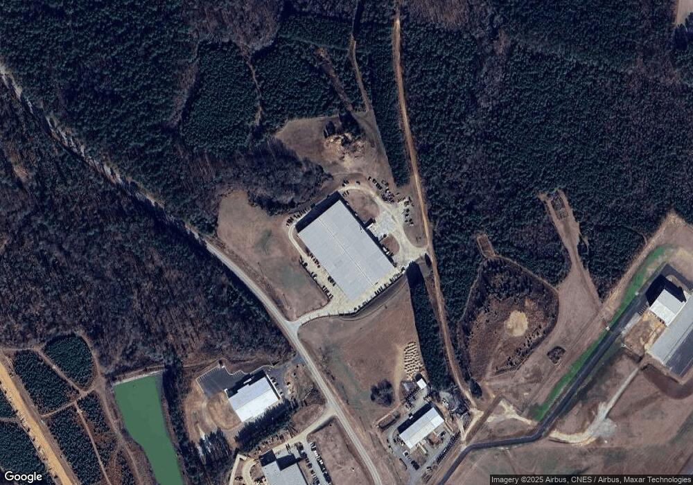
566 Airport Rd Louisburg, NC 27549
Estimated Value: $5,377,512
--
Bed
--
Bath
111,983
Sq Ft
$48/Sq Ft
Est. Value
About This Home
This home is located at 566 Airport Rd, Louisburg, NC 27549 and is currently estimated at $5,377,512, approximately $48 per square foot. 566 Airport Rd is a home located in Franklin County with nearby schools including Louisburg Elementary School, Terrell Lane Middle School, and Louisburg High School.
Ownership History
Date
Name
Owned For
Owner Type
Purchase Details
Closed on
Sep 27, 2019
Sold by
Golden Leaf Properties Llc
Bought by
Cap Realty Llc
Current Estimated Value
Home Financials for this Owner
Home Financials are based on the most recent Mortgage that was taken out on this home.
Original Mortgage
$2,400,000
Outstanding Balance
$2,093,218
Interest Rate
3.5%
Mortgage Type
Commercial
Estimated Equity
$3,284,294
Purchase Details
Closed on
Apr 4, 2011
Sold by
Kerr Tar Regional Economic Development C
Bought by
Golden Leaf Properties Llc
Create a Home Valuation Report for This Property
The Home Valuation Report is an in-depth analysis detailing your home's value as well as a comparison with similar homes in the area
Home Values in the Area
Average Home Value in this Area
Purchase History
| Date | Buyer | Sale Price | Title Company |
|---|---|---|---|
| Cap Realty Llc | $3,200,000 | None Available | |
| Golden Leaf Properties Llc | $450,000 | None Available |
Source: Public Records
Mortgage History
| Date | Status | Borrower | Loan Amount |
|---|---|---|---|
| Open | Cap Realty Llc | $2,400,000 |
Source: Public Records
Tax History Compared to Growth
Tax History
| Year | Tax Paid | Tax Assessment Tax Assessment Total Assessment is a certain percentage of the fair market value that is determined by local assessors to be the total taxable value of land and additions on the property. | Land | Improvement |
|---|---|---|---|---|
| 2025 | $25,079 | $4,380,440 | $836,660 | $3,543,780 |
| 2024 | $24,640 | $4,380,440 | $836,660 | $3,543,780 |
| 2023 | $31,064 | $3,599,310 | $379,850 | $3,219,460 |
| 2022 | $31,054 | $3,599,310 | $379,850 | $3,219,460 |
| 2021 | $31,414 | $3,599,310 | $379,850 | $3,219,460 |
| 2020 | $31,257 | $3,424,720 | $379,850 | $3,044,870 |
| 2019 | $29,770 | $3,424,720 | $379,850 | $3,044,870 |
| 2018 | $29,816 | $3,424,720 | $379,850 | $3,044,870 |
| 2017 | $25,592 | $2,663,910 | $330,300 | $2,333,610 |
| 2016 | $26,519 | $2,663,910 | $330,300 | $2,333,610 |
| 2015 | $26,519 | $2,663,910 | $330,300 | $2,333,610 |
| 2014 | $25,096 | $2,663,910 | $330,300 | $2,333,610 |
Source: Public Records
Map
Nearby Homes
- 180 Normandy Rd
- 70 Rough Ln
- 43.76 Acre Huntsburg Dr
- 25 Hillside Village Dr
- 225 Whistlers Cove
- 20 Lemon Drop Ln
- 30 Lemon Drop Ln
- 30 Watermelon Dr
- 35 Watermelon Dr
- 25 Watermelon Dr
- 190 Whistlers Cove
- 65 Hillside Village Dr
- 35 Courtland Dr
- 220 Kingfisher Way
- 255 Whistlers Cove
- 3986 US 401 Hwy S
- 100 Cedarwood Dr
- 470 Flat Rock Church Rd
- 45 Horsecreek Rd
- 705 Timberlake Rd