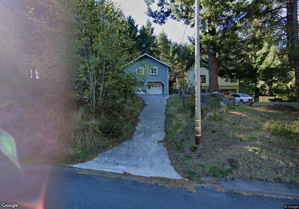
566 Beach Rd Whitethorn, CA 95589
Shelter Cove NeighborhoodEstimated Value: $287,816 - $386,000
1
Bed
2
Baths
1,034
Sq Ft
$325/Sq Ft
Est. Value
About This Home
This home is located at 566 Beach Rd, Whitethorn, CA 95589 and is currently estimated at $335,954, approximately $324 per square foot. 566 Beach Rd is a home located in Humboldt County.
Ownership History
Date
Name
Owned For
Owner Type
Purchase Details
Closed on
Oct 2, 2019
Sold by
Ming Tam Philip Tai
Bought by
Tam Tina Tinghua
Current Estimated Value
Purchase Details
Closed on
Sep 14, 2019
Sold by
Ming Tam Philip Tai
Bought by
Tam Tina Tinghua
Purchase Details
Closed on
Sep 20, 2011
Sold by
Selby David and Selby Sandra
Bought by
Tina Tam Philip Tai Ming and Tina Tinghua Tam
Purchase Details
Closed on
May 16, 2005
Sold by
Troussieux Lucien A and Troussieux Concetta A
Bought by
Selby David and Selby Sandra
Home Financials for this Owner
Home Financials are based on the most recent Mortgage that was taken out on this home.
Original Mortgage
$25,000
Interest Rate
5.72%
Mortgage Type
Seller Take Back
Create a Home Valuation Report for This Property
The Home Valuation Report is an in-depth analysis detailing your home's value as well as a comparison with similar homes in the area
Home Values in the Area
Average Home Value in this Area
Purchase History
| Date | Buyer | Sale Price | Title Company |
|---|---|---|---|
| Tam Tina Tinghua | -- | -- | |
| Tam Tina Tinghua | -- | None Available | |
| Tina Tam Philip Tai Ming | $180,000 | Humboldt Land Title Company | |
| Selby David | $35,000 | First American Title Ins Co |
Source: Public Records
Mortgage History
| Date | Status | Borrower | Loan Amount |
|---|---|---|---|
| Previous Owner | Selby David | $25,000 |
Source: Public Records
Tax History Compared to Growth
Tax History
| Year | Tax Paid | Tax Assessment Tax Assessment Total Assessment is a certain percentage of the fair market value that is determined by local assessors to be the total taxable value of land and additions on the property. | Land | Improvement |
|---|---|---|---|---|
| 2025 | $2,702 | $226,078 | $31,394 | $194,684 |
| 2024 | $2,702 | $221,646 | $30,779 | $190,867 |
| 2023 | $2,712 | $217,301 | $30,176 | $187,125 |
| 2022 | $2,673 | $213,041 | $29,585 | $183,456 |
| 2021 | $2,582 | $208,864 | $29,005 | $179,859 |
| 2020 | $2,596 | $206,723 | $28,708 | $178,015 |
| 2019 | $2,537 | $202,671 | $28,146 | $174,525 |
| 2018 | $2,498 | $198,698 | $27,595 | $171,103 |
| 2017 | $2,355 | $194,803 | $27,054 | $167,749 |
| 2016 | $2,342 | $190,984 | $26,524 | $164,460 |
| 2015 | $2,331 | $188,116 | $26,126 | $161,990 |
| 2014 | $2,261 | $184,432 | $25,615 | $158,817 |
Source: Public Records
Map
Nearby Homes
- 522 Beach Rd
- 416 Ridge Rd
- 52 Madrone Rd
- 829 Spring Rd
- 341 Ridge Rd
- 362 Ridge Rd
- 758 Beach Rd
- 972 Spring Rd
- 1002 Spring Rd
- 278 Ridge Rd
- 745 Spring Rd
- 1104 Spring Rd
- 68 Redcrest Ct
- 197 & 207 Ridge Rd
- 66 Redcrest Ct
- 199 Spring Road 166 Debbie Ln
- 20 & 30 Eileen Rd
- 117 Ridge Rd
- 71 & 75 Whale Point
- 489 & 508 Humboldt Loop Rd