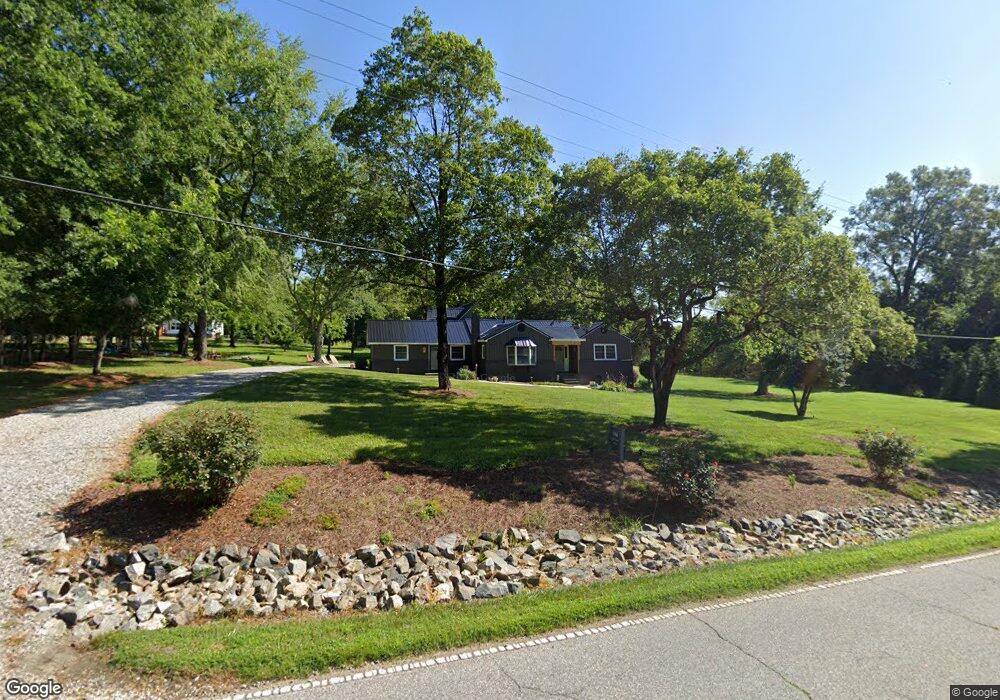
566 Curry Rd High Point, NC 27265
Estimated Value: $258,000 - $674,000
3
Beds
3
Baths
3,704
Sq Ft
$111/Sq Ft
Est. Value
About This Home
This home is located at 566 Curry Rd, High Point, NC 27265 and is currently estimated at $411,377, approximately $111 per square foot. 566 Curry Rd is a home located in Davidson County with nearby schools including Wallburg Elementary School, Oak Grove Middle School, and Oak Grove High School.
Ownership History
Date
Name
Owned For
Owner Type
Purchase Details
Closed on
Nov 11, 2016
Sold by
Davis Charles H
Bought by
Baker Amanda D and Baker Kelly W
Current Estimated Value
Home Financials for this Owner
Home Financials are based on the most recent Mortgage that was taken out on this home.
Original Mortgage
$94,000
Outstanding Balance
$44,617
Interest Rate
3.47%
Mortgage Type
New Conventional
Estimated Equity
$366,760
Purchase Details
Closed on
Mar 1, 1999
Create a Home Valuation Report for This Property
The Home Valuation Report is an in-depth analysis detailing your home's value as well as a comparison with similar homes in the area
Purchase History
| Date | Buyer | Sale Price | Title Company |
|---|---|---|---|
| Baker Amanda D | $117,500 | None Available | |
| -- | -- | -- |
Source: Public Records
Mortgage History
| Date | Status | Borrower | Loan Amount |
|---|---|---|---|
| Open | Baker Amanda D | $94,000 |
Source: Public Records
Tax History
| Year | Tax Paid | Tax Assessment Tax Assessment Total Assessment is a certain percentage of the fair market value that is determined by local assessors to be the total taxable value of land and additions on the property. | Land | Improvement |
|---|---|---|---|---|
| 2025 | $1,693 | $249,140 | $0 | $0 |
| 2024 | $1,693 | $249,140 | $0 | $0 |
| 2023 | $1,381 | $203,180 | $0 | $0 |
| 2022 | $1,164 | $171,310 | $0 | $0 |
| 2021 | $1,164 | $171,310 | $0 | $0 |
| 2020 | $923 | $135,750 | $0 | $0 |
| 2019 | $937 | $135,750 | $0 | $0 |
| 2018 | $910 | $135,750 | $0 | $0 |
| 2017 | $910 | $135,750 | $0 | $0 |
| 2016 | $882 | $135,750 | $0 | $0 |
| 2015 | $882 | $135,750 | $0 | $0 |
| 2014 | $919 | $141,410 | $0 | $0 |
Source: Public Records
Map
Nearby Homes
- 397 Curry Rd
- 872 Falls Grove Trail
- 818 Falls Grove Trail
- 1513 Birkdale Ct
- 6714 Planters Dr
- 693 Ansley Way
- 683 Chas Ct
- 1366 Bayswater Dr
- 1329 Bayswater Dr
- 4020 Centerpiece Ct
- 4037 Pursuance Ct
- 465 Ansley Way
- 6148 Tory Ct
- 2740 Wiley Farm Rd
- 200 Winsom Rd
- 267 Winsom Rd
- 424 Sandybrooke Dr
- 6121 Hedgecock Cir Unit 2C
- 6112 Hedgecock Cir
- 5430 Forester Dr Unit 3D
Your Personal Tour Guide
Ask me questions while you tour the home.