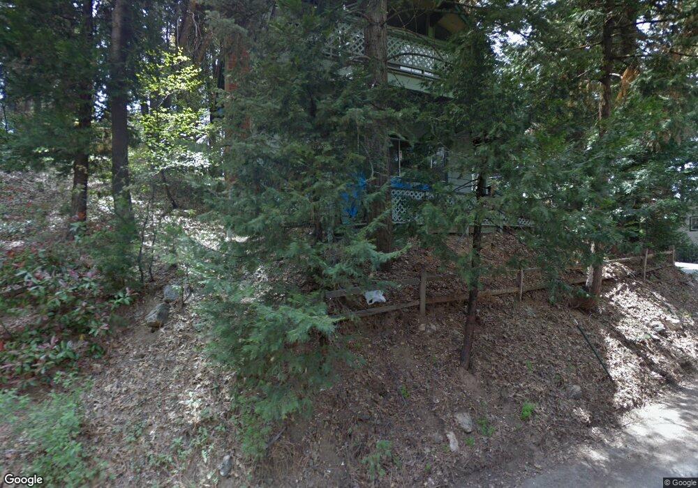
566 E Victoria Ct Lake Arrowhead, CA 92352
Estimated Value: $363,312 - $566,000
2
Beds
2
Baths
903
Sq Ft
$486/Sq Ft
Est. Value
About This Home
This home is located at 566 E Victoria Ct, Lake Arrowhead, CA 92352 and is currently estimated at $439,078, approximately $486 per square foot. 566 E Victoria Ct is a home with nearby schools including Charles Hoffman Elementary School, Mary P. Henck Intermediate School, and Rim Of The World Senior High School.
Ownership History
Date
Name
Owned For
Owner Type
Purchase Details
Closed on
Feb 10, 1995
Sold by
Kurth Phyllis Hudson
Bought by
Jones Richard B and Jones Le Anne I
Current Estimated Value
Home Financials for this Owner
Home Financials are based on the most recent Mortgage that was taken out on this home.
Original Mortgage
$88,000
Interest Rate
7%
Mortgage Type
Purchase Money Mortgage
Create a Home Valuation Report for This Property
The Home Valuation Report is an in-depth analysis detailing your home's value as well as a comparison with similar homes in the area
Home Values in the Area
Average Home Value in this Area
Purchase History
We collect this data history from publicly available records. To have your information removed, we recommend requesting removal directly through your county’s website.
| Date | Buyer | Sale Price | Title Company |
|---|---|---|---|
| Jones Richard B | $110,000 | Fidelity National Title Ins |
Source: Public Records
Mortgage History
We collect this data history from publicly available records. To have your information removed, we recommend requesting removal directly through your county’s website.
| Date | Status | Borrower | Loan Amount |
|---|---|---|---|
| Previous Owner | Jones Richard B | $88,000 | |
| Closed | Jones Richard B | $11,000 |
Source: Public Records
Tax History
| Year | Tax Paid | Tax Assessment Tax Assessment Total Assessment is a certain percentage of the fair market value that is determined by local assessors to be the total taxable value of land and additions on the property. | Land | Improvement |
|---|---|---|---|---|
| 2025 | $3,253 | $182,741 | $24,919 | $157,822 |
| 2024 | $3,142 | $179,157 | $24,430 | $154,727 |
| 2023 | $3,086 | $175,644 | $23,951 | $151,693 |
| 2022 | $3,009 | $172,200 | $23,481 | $148,719 |
| 2021 | $2,975 | $168,824 | $23,021 | $145,803 |
| 2020 | $2,980 | $167,093 | $22,785 | $144,308 |
| 2019 | $2,904 | $163,816 | $22,338 | $141,478 |
| 2018 | $2,628 | $160,604 | $21,900 | $138,704 |
| 2017 | $2,570 | $157,455 | $21,471 | $135,984 |
| 2016 | $2,482 | $154,368 | $21,050 | $133,318 |
| 2015 | $2,470 | $152,049 | $20,734 | $131,315 |
| 2014 | $2,421 | $149,071 | $20,328 | $128,743 |
Source: Public Records
Map
Nearby Homes
- 531 W Victoria Ct
- 529 W Victoria Ct
- 574 Mill Ct
- 742 W Victoria Ct
- 0 Fleming Creek Unit P1-24951
- 679 Pinnacle Dr
- 543 Community Dr
- 680 Buckingham Square
- 682 Buckingham Square
- 551 Community Dr
- 0 Buckingham Unit 26976434
- 544 Community Dr
- 612 Sunderland Ct
- 720 Buckingham Square
- 601 Sunderland Ct
- 707 Virginia Ct
- 738 W Victoria Ct
- 0 Community Dr Unit 25524491
- 0 Community Dr Unit SW25182266
- 0 Sunderland Ct
- 563 E Victoria Ct
- 603 W Victoria Ct
- 558 W Victoria Ct
- 558 W Victoria Ct
- 561 Victoria Ct
- 572 W Victoria Ct
- 552 W Victoria Ct
- 552 Victoria St
- 572 Victoria Ct
- 583 W Victoria Ct
- 557 W Victoria Ct
- 576 E Victoria Ct
- 589 W Victoria Ct
- 544 W Victoria Ct
- 571 E Victoria Ct
- 584 W Victoria Ct
- 584 W Victoria Ct
- 584 W Victoria St
- 555 W Victoria Ct
- 575 E Victoria Ct
Your Personal Tour Guide
Ask me questions while you tour the home.