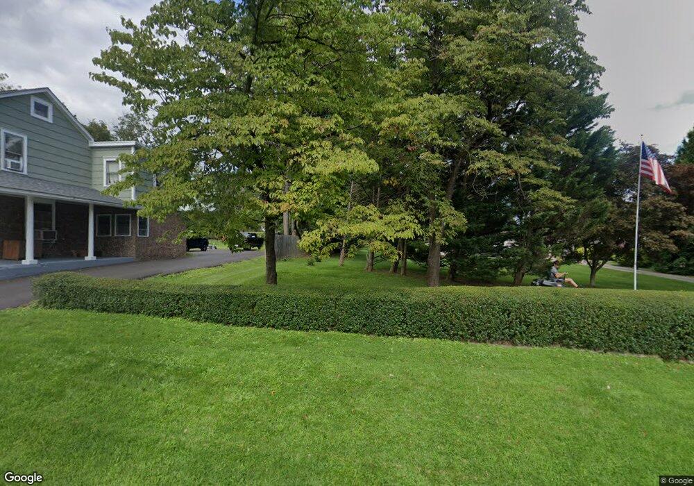
566 Route 614 Asbury, NJ 08802
Estimated Value: $589,000 - $850,000
--
Bed
--
Bath
2,672
Sq Ft
$270/Sq Ft
Est. Value
About This Home
This home is located at 566 Route 614, Asbury, NJ 08802 and is currently estimated at $721,654, approximately $270 per square foot. 566 Route 614 is a home with nearby schools including Union Township Elementary School, Union Township Middle School, and North Hunterdon High School.
Ownership History
Date
Name
Owned For
Owner Type
Purchase Details
Closed on
Sep 4, 1998
Sold by
R & B Enterprises
Bought by
Shaddow Charles M and Shaddow Mena M
Current Estimated Value
Home Financials for this Owner
Home Financials are based on the most recent Mortgage that was taken out on this home.
Original Mortgage
$221,600
Outstanding Balance
$47,419
Interest Rate
6.92%
Estimated Equity
$674,235
Purchase Details
Closed on
Jul 29, 1996
Sold by
Carlbon Lawrence K and Carlbon Barbara H
Bought by
R & B Enterprises
Create a Home Valuation Report for This Property
The Home Valuation Report is an in-depth analysis detailing your home's value as well as a comparison with similar homes in the area
Home Values in the Area
Average Home Value in this Area
Purchase History
| Date | Buyer | Sale Price | Title Company |
|---|---|---|---|
| Shaddow Charles M | $277,000 | -- | |
| R & B Enterprises | $113,000 | -- |
Source: Public Records
Mortgage History
| Date | Status | Borrower | Loan Amount |
|---|---|---|---|
| Open | Shaddow Charles M | $221,600 |
Source: Public Records
Tax History Compared to Growth
Tax History
| Year | Tax Paid | Tax Assessment Tax Assessment Total Assessment is a certain percentage of the fair market value that is determined by local assessors to be the total taxable value of land and additions on the property. | Land | Improvement |
|---|---|---|---|---|
| 2025 | $11,866 | $560,000 | $142,300 | $417,700 |
| 2024 | $16,285 | $560,000 | $142,300 | $417,700 |
| 2023 | $16,285 | $764,200 | $142,300 | $621,900 |
| 2022 | $13,013 | $424,300 | $104,600 | $319,700 |
| 2021 | $12,687 | $424,300 | $104,600 | $319,700 |
| 2020 | $12,440 | $424,300 | $104,600 | $319,700 |
| 2019 | $12,126 | $424,300 | $104,600 | $319,700 |
| 2018 | $11,617 | $424,300 | $104,600 | $319,700 |
| 2017 | $11,231 | $424,300 | $104,600 | $319,700 |
| 2016 | $11,036 | $424,300 | $104,600 | $319,700 |
| 2015 | $11,180 | $424,300 | $104,600 | $319,700 |
| 2014 | $11,244 | $424,300 | $104,600 | $319,700 |
Source: Public Records
Map
Nearby Homes
- 584 County Road 614
- 420 Bellwood Ave
- 69 Baptist Church Rd
- 484 Route614
- 0 Baptist Church Rd
- 368 Strotz Rd
- N/A Gravel Hill Rd
- 140 Driftway E
- 601 Fox Farm Rd
- 18 Bridle Path Dr
- 853 Norton Church Rd
- 745 County Road 625
- 759 County Road 625
- 92 Country Acres Dr
- 324 Tunnel Rd
- 58 Oakwood Blvd
- 634 County Road 579
- 13 Old Schoolhouse Rd
- 00 Rr 579
- 214 Woolf Rd
- 553 Route 614
- 570 Route 614
- 571 Route 614
- 561 Route 614
- 561 614 Route
- 578 County Road 614
- 578 County Road 614
- 575 County Road 614
- 574 Route 614
- 556 Pattenburg Rd
- 556 Route 614
- 726 Marudy Dr
- 724 Marudy Dr
- 582 County Road 614
- 578 Route 614
- 722 Marudy Dr
- 728 Marudy Dr
- 552 County Road 614
- 725 Marudy Dr
- 721 Marudy Dr