5661 State Highway Ww Verona, MO 65769
Estimated Value: $333,000 - $538,876
3
Beds
1
Bath
1,856
Sq Ft
$232/Sq Ft
Est. Value
About This Home
This home is located at 5661 State Highway Ww, Verona, MO 65769 and is currently estimated at $430,625, approximately $232 per square foot. 5661 State Highway Ww is a home with nearby schools including Pate Early Childhood Center, Robinson Elementary School, and Robinson Intermediate School.
Ownership History
Date
Name
Owned For
Owner Type
Purchase Details
Closed on
Jun 3, 2022
Sold by
Lightfoot David C and Lightfoot Janet E
Bought by
Lowry Joshua Craig and Lowry Jamie Lynn
Current Estimated Value
Home Financials for this Owner
Home Financials are based on the most recent Mortgage that was taken out on this home.
Original Mortgage
$314,551
Outstanding Balance
$298,823
Interest Rate
5.09%
Mortgage Type
New Conventional
Estimated Equity
$131,802
Create a Home Valuation Report for This Property
The Home Valuation Report is an in-depth analysis detailing your home's value as well as a comparison with similar homes in the area
Home Values in the Area
Average Home Value in this Area
Purchase History
| Date | Buyer | Sale Price | Title Company |
|---|---|---|---|
| Lowry Joshua Craig | -- | None Listed On Document |
Source: Public Records
Mortgage History
| Date | Status | Borrower | Loan Amount |
|---|---|---|---|
| Open | Lowry Joshua Craig | $314,551 |
Source: Public Records
Tax History Compared to Growth
Tax History
| Year | Tax Paid | Tax Assessment Tax Assessment Total Assessment is a certain percentage of the fair market value that is determined by local assessors to be the total taxable value of land and additions on the property. | Land | Improvement |
|---|---|---|---|---|
| 2025 | $2,717 | $61,513 | $5,310 | $56,203 |
| 2024 | $2,717 | $56,763 | $5,310 | $51,453 |
| 2023 | $2,716 | $56,763 | $5,310 | $51,453 |
| 2022 | $530 | $11,085 | $1,736 | $9,349 |
| 2021 | $514 | $10,705 | $1,356 | $9,349 |
| 2020 | $514 | $10,705 | $1,356 | $9,349 |
| 2018 | $506 | $10,717 | $1,368 | $9,349 |
| 2017 | $497 | $10,527 | $1,178 | $9,349 |
| 2016 | $464 | $9,776 | $1,178 | $8,598 |
| 2015 | -- | $9,776 | $1,178 | $8,598 |
| 2014 | -- | $9,783 | $1,166 | $8,617 |
| 2012 | -- | $0 | $0 | $0 |
Source: Public Records
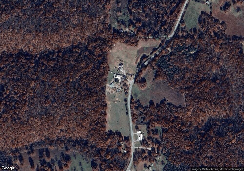
Map
Nearby Homes
- 4276 State Highway Ww
- 3644 State Highway Ww
- 000 Farm Road 1190
- Tbd Farm Rd 1190
- 000 Farm Road 1182
- Tract 1 Farm Road 1200
- 17196 Farm Road 2030
- 7776 State Highway 39
- Tract 2 Farm Road 1200
- Tbd 000 Fr 1150
- 17250 State Highway Z
- 19038 Farm Road 2020
- 1757 Farm Road 1200
- Tract 2 Farm Rd 1200
- 00 Farm Road 1200
- 00 Farm Road 1200
- 000 Farm Road 1200
- Tract 1 Farm Rd 2020 & 1200
- 000 Lawrence 2195
- 10463 Farm Road 1182
- 6096 State Highway Ww
- 5874 State Highway Ww
- 5986 State Highway Ww
- TBD State Highway Ww
- 5342 State Highway Ww
- 6002 State Highway Ww
- 6190 State Highway Ww
- 5530 State Highway Ww
- 000 State Highway Ww
- 5053 State Highway Ww
- 6208 State Highway Ww
- 6278 State Highway Ww
- 5020 State Highway Ww
- 6285 State Highway Ww
- 6327 Farm Road 1190
- 5543 Farm Road 1190
- 6512 State Highway Ww
- 6013 Farm Road 1190
- 4525 State Highway Ww
- 5912 Farm Road 1190