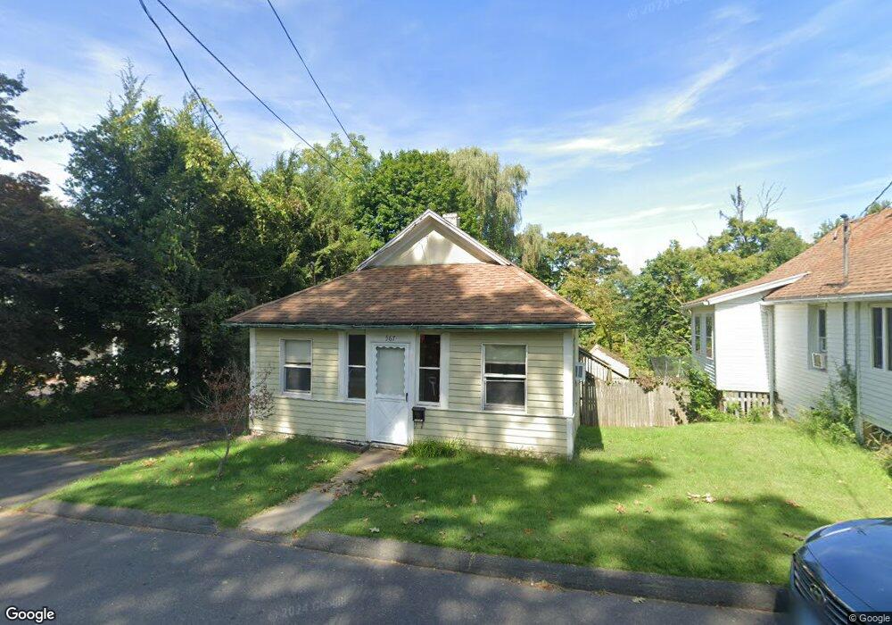
567 Butternut St Middletown, CT 06457
Westfield NeighborhoodEstimated Value: $167,000 - $322,000
1
Bed
1
Bath
624
Sq Ft
$358/Sq Ft
Est. Value
About This Home
This home is located at 567 Butternut St, Middletown, CT 06457 and is currently estimated at $223,637, approximately $358 per square foot. 567 Butternut St is a home located in Middlesex County with nearby schools including Wilbert Snow Elementary School, Middletown High School, and St John Paul II School.
Ownership History
Date
Name
Owned For
Owner Type
Purchase Details
Closed on
Mar 25, 1992
Sold by
Doane Richard P and Doane Nancy J
Bought by
Tilley Jimmie N
Current Estimated Value
Home Financials for this Owner
Home Financials are based on the most recent Mortgage that was taken out on this home.
Original Mortgage
$96,150
Interest Rate
8.66%
Create a Home Valuation Report for This Property
The Home Valuation Report is an in-depth analysis detailing your home's value as well as a comparison with similar homes in the area
Home Values in the Area
Average Home Value in this Area
Purchase History
| Date | Buyer | Sale Price | Title Company |
|---|---|---|---|
| Tilley Jimmie N | $95,000 | -- |
Source: Public Records
Mortgage History
| Date | Status | Borrower | Loan Amount |
|---|---|---|---|
| Open | Tilley Jimmie N | $126,000 | |
| Closed | Tilley Jimmie N | $105,000 | |
| Closed | Tilley Jimmie N | $96,150 | |
| Previous Owner | Tilley Jimmie N | $70,000 |
Source: Public Records
Tax History
| Year | Tax Paid | Tax Assessment Tax Assessment Total Assessment is a certain percentage of the fair market value that is determined by local assessors to be the total taxable value of land and additions on the property. | Land | Improvement |
|---|---|---|---|---|
| 2025 | $3,536 | $90,890 | $49,900 | $40,990 |
| 2024 | $3,345 | $90,890 | $49,900 | $40,990 |
| 2023 | $3,190 | $90,890 | $49,900 | $40,990 |
| 2022 | $2,647 | $60,170 | $31,520 | $28,650 |
| 2021 | $2,647 | $60,170 | $31,520 | $28,650 |
| 2020 | $2,660 | $60,170 | $31,520 | $28,650 |
| 2019 | $2,672 | $60,170 | $31,520 | $28,650 |
| 2018 | $2,629 | $60,170 | $31,520 | $28,650 |
| 2017 | $3,348 | $78,970 | $38,350 | $40,620 |
| 2016 | $3,254 | $78,970 | $38,350 | $40,620 |
| 2015 | $3,127 | $78,970 | $38,350 | $40,620 |
| 2014 | $3,159 | $78,970 | $38,350 | $40,620 |
Source: Public Records
Map
Nearby Homes
- 211 Boston Rd
- 160 Boston Rd
- 183 Aston Ln
- 45 Mckenna Dr
- 13 Mckenna Dr
- 27 Barbara Rd
- 21 Butternut Knolls
- 8 Nathan Hale Rd
- 1 Nathan Hale Rd
- 4 Nathan Hale Rd
- 3 Nathan Hale Rd
- 5 Nathan Hale Rd
- 194 Camp St
- 91 Gleeson Rd
- 82 Westfield Terrace
- 40 Sylvan Ridge
- 56 Coles Rd
- 70 Jack English Dr
- 473 Westfield St
- 5 Lorraine Terrace
- 563 Butternut St
- 575 Butternut St
- 575 Butternut St Unit 1
- 575 Butternut St Unit 2
- 555 Butternut St
- 560 Butternut St
- 545 Butternut St
- 583 Butternut St
- 566 Butternut St
- 544 Butternut St
- 588 Butternut St
- 53 Hendley St
- 539 Butternut St
- 244 Middlefield St
- 598 Butternut St
- 248 Middlefield St
- 63 Hendley St
- 530 Butternut St
- 37 Hendley Ct
- 27 Hendley Ct
Your Personal Tour Guide
Ask me questions while you tour the home.