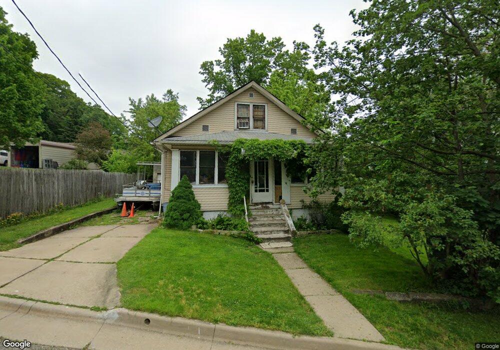
567 Harvey Ave Akron, OH 44314
Kenmore NeighborhoodEstimated Value: $99,000 - $140,000
4
Beds
2
Baths
1,036
Sq Ft
$117/Sq Ft
Est. Value
About This Home
This home is located at 567 Harvey Ave, Akron, OH 44314 and is currently estimated at $121,253, approximately $117 per square foot. 567 Harvey Ave is a home located in Summit County with nearby schools including Pfeiffer Elementary School, Kenmore Garfield Community Learning Center, and St. Bernard-St. Mary Elementary School.
Ownership History
Date
Name
Owned For
Owner Type
Purchase Details
Closed on
Dec 13, 2000
Sold by
Jones Bobby D and Jones Nancy C
Bought by
Jones David W
Current Estimated Value
Home Financials for this Owner
Home Financials are based on the most recent Mortgage that was taken out on this home.
Original Mortgage
$9,516
Interest Rate
6%
Mortgage Type
Seller Take Back
Create a Home Valuation Report for This Property
The Home Valuation Report is an in-depth analysis detailing your home's value as well as a comparison with similar homes in the area
Home Values in the Area
Average Home Value in this Area
Purchase History
| Date | Buyer | Sale Price | Title Company |
|---|---|---|---|
| Jones David W | $18,000 | -- |
Source: Public Records
Mortgage History
| Date | Status | Borrower | Loan Amount |
|---|---|---|---|
| Closed | Jones David W | $9,516 |
Source: Public Records
Tax History
| Year | Tax Paid | Tax Assessment Tax Assessment Total Assessment is a certain percentage of the fair market value that is determined by local assessors to be the total taxable value of land and additions on the property. | Land | Improvement |
|---|---|---|---|---|
| 2025 | $3,901 | $36,576 | $6,430 | $30,146 |
| 2024 | $2,008 | $36,576 | $6,430 | $30,146 |
| 2023 | $3,901 | $36,576 | $6,430 | $30,146 |
| 2022 | $1,539 | $21,753 | $3,784 | $17,969 |
| 2021 | $1,541 | $21,753 | $3,784 | $17,969 |
| 2020 | $1,518 | $21,750 | $3,780 | $17,970 |
| 2019 | $1,059 | $13,420 | $5,190 | $8,230 |
| 2018 | $1,045 | $13,420 | $5,190 | $8,230 |
| 2017 | $1,061 | $13,420 | $5,190 | $8,230 |
| 2016 | $1,062 | $13,420 | $5,190 | $8,230 |
| 2015 | $1,061 | $13,420 | $5,190 | $8,230 |
| 2014 | $1,053 | $13,420 | $5,190 | $8,230 |
| 2013 | $1,072 | $13,970 | $5,190 | $8,780 |
Source: Public Records
Map
Nearby Homes
- 1887 Ritzman Ct
- 603 Indian Trail
- 1909 2nd St SW
- 2125 7th St SW
- 780 Silvercrest Ave
- 1865 9th St SW
- 764 Harrison Ave
- 2125 10th St SW
- 2079 12th St SW
- 2104 11th St SW
- 1575 Overlook Dr
- 779 & 781 Jason Ave
- 0 Lakeside Dr Unit 5194584
- 2100 12th St SW
- 1556 Overlook Dr
- 788 Saxon Ave
- 333 Lloyd St
- 2171 12th St SW
- 1797 13th St SW Unit 1799
- 2271 5th St SW
- 575 Harvey Ave
- 1808 Manchester Rd
- 1814 Manchester Rd
- 566 Harvey Ave
- 1820 Manchester Rd
- 572 Harvey Ave
- 1791 Leighton Ave
- 1786 Manchester Rd
- 1784 Manchester Rd
- 1781 Leighton Ave
- 573 Lakeview Ave
- 585 Lakeview Ave
- 571 Lakeview Ave
- 1778 Manchester Rd Unit 1780
- 579 Lakeview Ave
- 1780 Manchester Rd
- 1809 Manchester Rd
- 1813 Manchester Rd
- 1775 Leighton Ave
- 1795 Manchester Rd
Your Personal Tour Guide
Ask me questions while you tour the home.