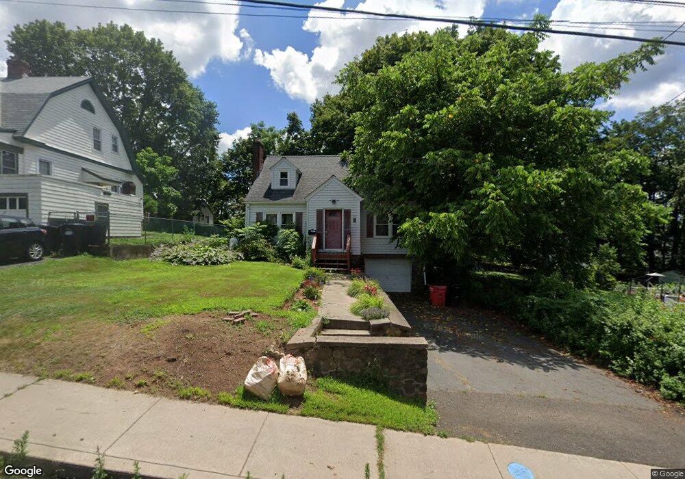
567 Liberty St Meriden, CT 06450
Estimated Value: $314,000 - $386,000
3
Beds
2
Baths
1,716
Sq Ft
$200/Sq Ft
Est. Value
About This Home
This home is located at 567 Liberty St, Meriden, CT 06450 and is currently estimated at $342,382, approximately $199 per square foot. 567 Liberty St is a home located in New Haven County with nearby schools including Roger Sherman Elementary School, Washington Middle School, and Francis T. Maloney High School.
Ownership History
Date
Name
Owned For
Owner Type
Purchase Details
Closed on
Dec 10, 2007
Sold by
Johnson 3Rd Jesse and Johnson Kimberly M
Bought by
Janson Neal
Current Estimated Value
Home Financials for this Owner
Home Financials are based on the most recent Mortgage that was taken out on this home.
Original Mortgage
$191,900
Interest Rate
6.37%
Purchase Details
Closed on
May 18, 2001
Sold by
Mercuri Dan P and Mercuri Lori A
Bought by
Johnson Jesse and Johnson Kimberly M
Create a Home Valuation Report for This Property
The Home Valuation Report is an in-depth analysis detailing your home's value as well as a comparison with similar homes in the area
Home Values in the Area
Average Home Value in this Area
Purchase History
| Date | Buyer | Sale Price | Title Company |
|---|---|---|---|
| Janson Neal | $202,000 | -- | |
| Johnson Jesse | $127,000 | -- |
Source: Public Records
Mortgage History
| Date | Status | Borrower | Loan Amount |
|---|---|---|---|
| Open | Johnson Jesse | $185,800 | |
| Closed | Johnson Jesse | $191,900 |
Source: Public Records
Tax History Compared to Growth
Tax History
| Year | Tax Paid | Tax Assessment Tax Assessment Total Assessment is a certain percentage of the fair market value that is determined by local assessors to be the total taxable value of land and additions on the property. | Land | Improvement |
|---|---|---|---|---|
| 2025 | $5,912 | $147,420 | $56,770 | $90,650 |
| 2024 | $5,353 | $147,420 | $56,770 | $90,650 |
| 2023 | $5,129 | $147,420 | $56,770 | $90,650 |
| 2022 | $4,863 | $147,420 | $56,770 | $90,650 |
| 2021 | $4,239 | $103,740 | $42,980 | $60,760 |
| 2020 | $4,239 | $103,740 | $42,980 | $60,760 |
| 2019 | $4,239 | $103,740 | $42,980 | $60,760 |
| 2018 | $4,257 | $103,740 | $42,980 | $60,760 |
| 2017 | $4,141 | $103,740 | $42,980 | $60,760 |
| 2016 | $4,095 | $111,790 | $45,080 | $66,710 |
| 2015 | $4,095 | $111,790 | $45,080 | $66,710 |
| 2014 | $3,995 | $111,790 | $45,080 | $66,710 |
Source: Public Records
Map
Nearby Homes
- 69 Sterling Village Unit 69
- 172 Sterling Village Unit 172
- 654 Liberty St Unit 3
- 56 Gravel St
- 47 Margerie St
- 272 Murray St
- 28 Orient St
- 301 Wall St
- 122 Carpenter Ave
- 160 Bee St
- 170 Bee St
- 180 Bee St
- 252-254 & 260 Liberty St
- 85 Milici Cir
- 10 Abbey Ln Unit 10
- 97 Baldwin Ave
- 80 Dryden Dr
- 192 Converse Ave
- 131 Converse Ave
- 760 Broad St
- 573 Liberty St
- 579 Liberty St
- 579 Liberty St Unit 2
- 112 Williams St
- 103 Sunset Ave
- 104 Williams St
- 515 Liberty St Unit 111-5
- 515 Liberty St
- 515 Liberty St Unit 115
- 515 Liberty St Unit 113
- 515 Liberty St Unit 111
- 564 Liberty St
- 111 Sunset Ave Unit 111
- 111 Sunset Ave
- 111 Sunset Ave Unit 113
- 556 Liberty St
- 582 Liberty St
- 113 Sunset Ave
- 102 Williams St