567 Mountain High Dr Mineral Bluff, GA 30559
Estimated Value: $604,000 - $904,000
--
Bed
2
Baths
1,692
Sq Ft
$412/Sq Ft
Est. Value
About This Home
This home is located at 567 Mountain High Dr, Mineral Bluff, GA 30559 and is currently estimated at $697,074, approximately $411 per square foot. 567 Mountain High Dr is a home located in Fannin County with nearby schools including Fannin County High School.
Ownership History
Date
Name
Owned For
Owner Type
Purchase Details
Closed on
Nov 24, 2009
Sold by
Brown Susan Carver
Bought by
Brown Stuart B
Current Estimated Value
Purchase Details
Closed on
Jan 30, 2004
Sold by
Tarawa Construction Llc
Bought by
Brown Struart B and Brown Susan C
Purchase Details
Closed on
Aug 13, 2003
Sold by
Mountain High Builders Llc
Bought by
Tarawa Construction Llc
Create a Home Valuation Report for This Property
The Home Valuation Report is an in-depth analysis detailing your home's value as well as a comparison with similar homes in the area
Home Values in the Area
Average Home Value in this Area
Purchase History
| Date | Buyer | Sale Price | Title Company |
|---|---|---|---|
| Brown Stuart B | -- | -- | |
| Brown Struart B | $238,700 | -- | |
| Tarawa Construction Llc | $49,000 | -- |
Source: Public Records
Tax History Compared to Growth
Tax History
| Year | Tax Paid | Tax Assessment Tax Assessment Total Assessment is a certain percentage of the fair market value that is determined by local assessors to be the total taxable value of land and additions on the property. | Land | Improvement |
|---|---|---|---|---|
| 2024 | $1,866 | $247,498 | $63,000 | $184,498 |
| 2023 | $1,701 | $197,432 | $48,600 | $148,832 |
| 2022 | $1,630 | $187,868 | $37,200 | $150,668 |
| 2021 | $1,577 | $123,067 | $37,200 | $85,867 |
| 2020 | $1,459 | $109,044 | $34,000 | $75,044 |
| 2019 | $1,487 | $109,044 | $34,000 | $75,044 |
| 2018 | $1,577 | $109,044 | $34,000 | $75,044 |
| 2017 | $1,944 | $109,883 | $34,000 | $75,883 |
| 2016 | $1,625 | $100,648 | $34,000 | $66,648 |
| 2015 | $1,685 | $99,624 | $34,000 | $65,624 |
| 2014 | $1,833 | $111,126 | $34,000 | $77,126 |
| 2013 | -- | $89,770 | $34,000 | $55,770 |
Source: Public Records
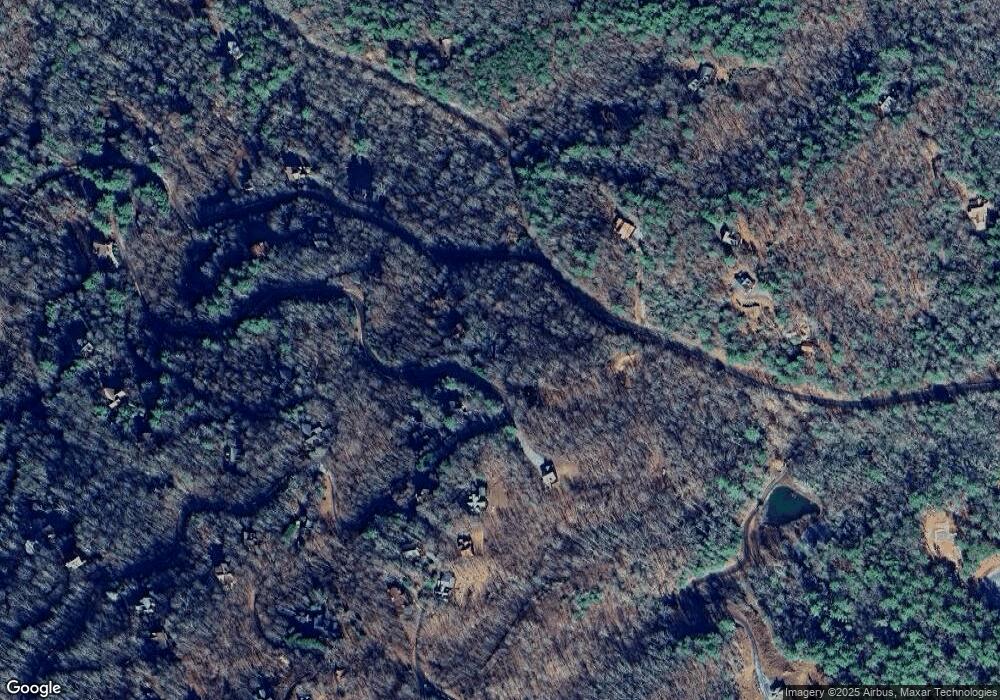
Map
Nearby Homes
- 2 Watson Gap Rd
- 469 Mountain High Dr
- Lot # 33 Mahoosec Trail
- 56 Kennebec Dr
- 300 Katahdin Dr
- 1150 Mountain High Dr
- 395 Pontoosuc Dr
- Lot 79 Moosilaukee Dr
- 58 Moosilaukee Dr
- 1359 Mountain High Dr
- 89 Box Turtle Ln
- Lot 13 Rocking Chair Ridge
- Lot 11 Rocking Chair Ridge
- Lot 12 Rocking Chair Ridge
- Lot 5 Rocking Chair Ridge
- Lot 15 Rocking Chair Ridge
- Lot 4 Rocking Chair Ridge
- Lot 7 Rocking Chair Ridge
- 563 Mountain High Dr
- 633 Mountain High Dr
- 650 Mountain High Dr
- 670 Mountain High Dr
- 645 Mountain High Dr
- 645 Mountain High Dr Unit 8
- 645 Mountain High Dr
- 15 Kennebec Dr
- 15 Kennebec Dr Unit 31
- 57 Watson Gap Rd
- 311 Watson Gap Rd
- 483 Kennebec
- LOT30 Kennebec Dr
- 79 Mountain High Dr
- LT 81 Mountain High S D
- 45 Mountain High Dr
- 47 Mountain High Dr
- 75 Mountain High Dr
- 59 Mountain High Dr
- 43 Mountain High Dr