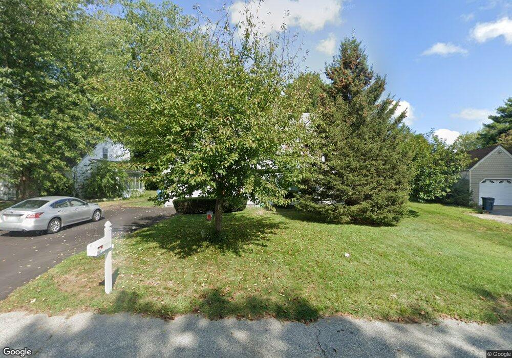
567 Scituate Ave Cranston, RI 02921
Comstock Gardens NeighborhoodEstimated Value: $416,000 - $595,000
3
Beds
2
Baths
1,530
Sq Ft
$305/Sq Ft
Est. Value
About This Home
This home is located at 567 Scituate Ave, Cranston, RI 02921 and is currently estimated at $466,418, approximately $304 per square foot. 567 Scituate Ave is a home located in Providence County with nearby schools including Stone Hill School, Western Hills Middle School, and Cranston High School West.
Ownership History
Date
Name
Owned For
Owner Type
Purchase Details
Closed on
Mar 16, 1993
Sold by
Morgan Carolyn A
Bought by
Morrissey Kurt E and Morrissey Lisa
Current Estimated Value
Home Financials for this Owner
Home Financials are based on the most recent Mortgage that was taken out on this home.
Original Mortgage
$90,000
Interest Rate
7.8%
Create a Home Valuation Report for This Property
The Home Valuation Report is an in-depth analysis detailing your home's value as well as a comparison with similar homes in the area
Home Values in the Area
Average Home Value in this Area
Purchase History
| Date | Buyer | Sale Price | Title Company |
|---|---|---|---|
| Morrissey Kurt E | $108,000 | -- |
Source: Public Records
Mortgage History
| Date | Status | Borrower | Loan Amount |
|---|---|---|---|
| Closed | Morrissey Kurt E | $90,000 |
Source: Public Records
Tax History
| Year | Tax Paid | Tax Assessment Tax Assessment Total Assessment is a certain percentage of the fair market value that is determined by local assessors to be the total taxable value of land and additions on the property. | Land | Improvement |
|---|---|---|---|---|
| 2025 | $4,937 | $355,700 | $110,200 | $245,500 |
| 2024 | $4,841 | $355,700 | $110,200 | $245,500 |
| 2023 | $4,814 | $254,700 | $76,000 | $178,700 |
| 2022 | $4,714 | $254,700 | $76,000 | $178,700 |
| 2021 | $4,585 | $254,700 | $76,000 | $178,700 |
| 2020 | $4,630 | $222,900 | $79,700 | $143,200 |
| 2019 | $4,630 | $222,900 | $79,700 | $143,200 |
| 2018 | $4,523 | $222,900 | $79,700 | $143,200 |
| 2017 | $4,414 | $192,400 | $72,400 | $120,000 |
| 2016 | $4,319 | $192,400 | $72,400 | $120,000 |
| 2015 | $4,319 | $192,400 | $72,400 | $120,000 |
| 2014 | $4,141 | $181,300 | $72,400 | $108,900 |
Source: Public Records
Map
Nearby Homes
- 25 Janet Dr
- 65 Janet Dr
- 20 Doreen Ct
- 95 Amy Dr
- 105 Amy Dr
- 244 Stony Acre Dr
- 72 Westfield Dr
- 1757 Plainfield Pike
- 141 Fox Ridge Dr
- 1835 Plainfield Pike
- 27 Nardolillo St
- 1603 Plainfield Pike Unit G8
- 333 Phenix Ave
- 0 Macera Dr
- 9 Baker St
- 129 Simmonsville Ave
- 93 Elena St
- 00 Burton St
- 178 Highland St
- 0 Plainfield Pike Unit 1374314
- 577 Scituate Ave
- 561 Scituate Ave
- 26 Elton Cir
- 2 Elton Cir
- 585 Scituate Ave
- 555 Scituate Ave
- 30 Elton Cir
- 665 Scituate Ave
- 15 Elton Cir
- 7 Scituate Farms Dr
- 1 Elton Cir
- 15 Scituate Farms Dr
- 32 Elton Cir
- 669 Scituate Ave
- 576 Scituate Ave
- 19 Scituate Farms Dr
- 600 Scituate Ave
- 568 Scituate Ave
- 545 Scituate Ave
- 11 Arrowfield Rd
Your Personal Tour Guide
Ask me questions while you tour the home.