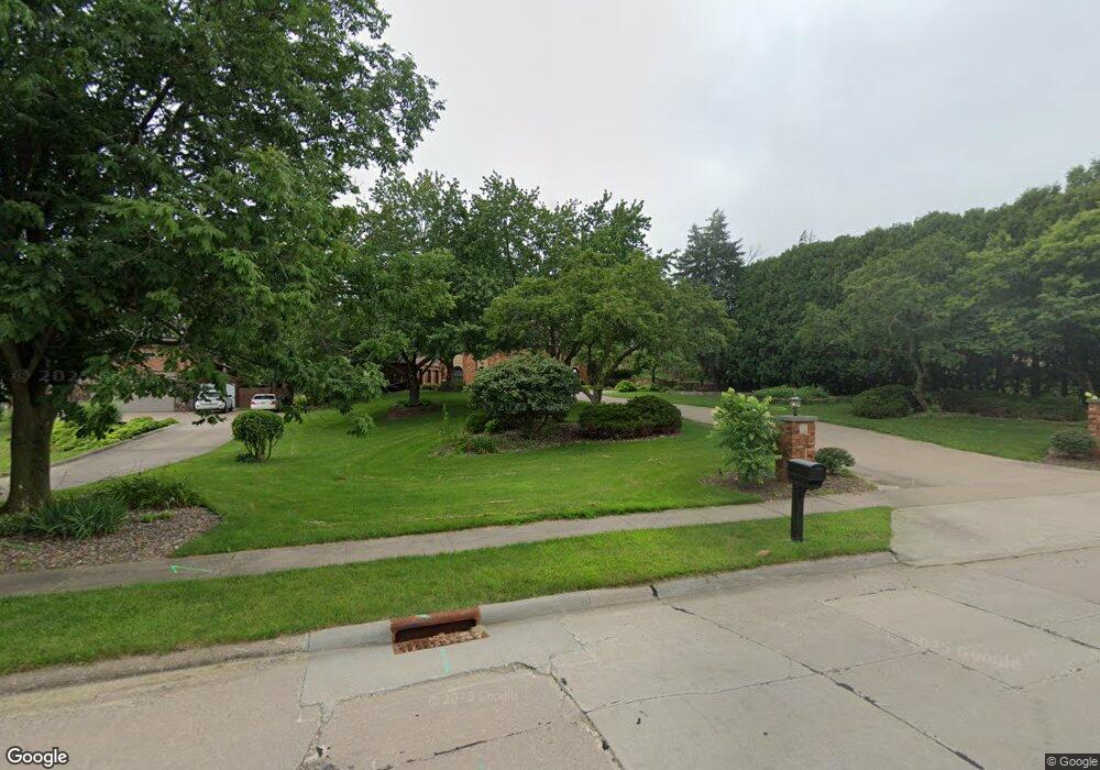
567 Woodland Dr Clinton, IA 52732
Estimated Value: $276,000 - $321,000
4
Beds
6
Baths
2,838
Sq Ft
$106/Sq Ft
Est. Value
About This Home
This home is located at 567 Woodland Dr, Clinton, IA 52732 and is currently estimated at $301,971, approximately $106 per square foot. 567 Woodland Dr is a home with nearby schools including Whittier Elementary School, Clinton Middle School, and Clinton High School.
Ownership History
Date
Name
Owned For
Owner Type
Purchase Details
Closed on
May 31, 2012
Sold by
York George L and York Janet M
Bought by
Banker Stephen F and Banker Michele M
Current Estimated Value
Home Financials for this Owner
Home Financials are based on the most recent Mortgage that was taken out on this home.
Original Mortgage
$130,000
Outstanding Balance
$90,155
Interest Rate
3.92%
Mortgage Type
New Conventional
Estimated Equity
$211,816
Create a Home Valuation Report for This Property
The Home Valuation Report is an in-depth analysis detailing your home's value as well as a comparison with similar homes in the area
Home Values in the Area
Average Home Value in this Area
Purchase History
| Date | Buyer | Sale Price | Title Company |
|---|---|---|---|
| Banker Stephen F | $216,000 | None Available |
Source: Public Records
Mortgage History
| Date | Status | Borrower | Loan Amount |
|---|---|---|---|
| Open | Banker Stephen F | $130,000 |
Source: Public Records
Tax History Compared to Growth
Tax History
| Year | Tax Paid | Tax Assessment Tax Assessment Total Assessment is a certain percentage of the fair market value that is determined by local assessors to be the total taxable value of land and additions on the property. | Land | Improvement |
|---|---|---|---|---|
| 2025 | $4,948 | $298,680 | $40,520 | $258,160 |
| 2024 | $4,948 | $276,080 | $40,520 | $235,560 |
| 2023 | $4,874 | $276,080 | $40,520 | $235,560 |
| 2022 | $4,914 | $233,660 | $32,410 | $201,250 |
| 2021 | $5,196 | $233,660 | $32,410 | $201,250 |
| 2020 | $5,196 | $233,660 | $32,410 | $201,250 |
| 2019 | $5,366 | $233,660 | $0 | $0 |
| 2018 | $5,220 | $233,660 | $0 | $0 |
| 2017 | $5,220 | $233,660 | $0 | $0 |
| 2016 | $4,790 | $216,059 | $0 | $0 |
| 2015 | $4,790 | $216,059 | $0 | $0 |
| 2014 | $4,810 | $216,059 | $0 | $0 |
| 2013 | $4,738 | $0 | $0 | $0 |
Source: Public Records
Map
Nearby Homes
- 515 Woodland Dr
- 591 Breezy Point Dr
- 700 N Bluff Blvd
- 582 Breezy Point Dr
- 2 Breezy Point Rd
- 510 6th Ave N
- 620 N 4th St
- 814 13th Ave N Unit 1-C
- 806 Park Place
- 814 Park Place
- 728 Park Place
- 348 6th Ave N
- 500 4th Ave N
- 870 9th Ave N
- 912 9th Ave N
- 960 9th Ave N
- 838 9th Ave N
- 854 9th Ave N
- 936 9th Ave N
- 825 9th Ave N
- 568 Woodland Dr
- 576 Woodland Dr
- 551 Woodland Dr
- 552 Woodland Dr
- 584 Woodland Dr
- 560 Woodland Dr
- 544 Woodland Dr
- 536 Woodland Dr
- 589 Woodland Dr
- 583 Woodland Dr
- 913 Oak Knolls Ct
- 530 Woodland Dr
- 549 Worth Ct
- 905 Oak Knolls Ct
- 527 Woodland Dr
- 535 Woodland Dr
- 906 Oak Knolls Ct
- 520 Woodland Dr
- 920 Oak Knolls Ct
- 914 Oak Knolls Ct