5673 E State Route 302 Belfair, WA 98528
Estimated Value: $607,105 - $823,000
3
Beds
3
Baths
2,200
Sq Ft
$327/Sq Ft
Est. Value
About This Home
This home is located at 5673 E State Route 302, Belfair, WA 98528 and is currently estimated at $719,276, approximately $326 per square foot. 5673 E State Route 302 is a home located in Mason County with nearby schools including North Mason Senior High School.
Ownership History
Date
Name
Owned For
Owner Type
Purchase Details
Closed on
Sep 18, 2015
Sold by
Collier Stephanie J and Hewitt Stephanie J
Bought by
Collier Steven M and Collier Stephanie J
Current Estimated Value
Home Financials for this Owner
Home Financials are based on the most recent Mortgage that was taken out on this home.
Original Mortgage
$168,750
Interest Rate
3.9%
Mortgage Type
New Conventional
Create a Home Valuation Report for This Property
The Home Valuation Report is an in-depth analysis detailing your home's value as well as a comparison with similar homes in the area
Home Values in the Area
Average Home Value in this Area
Purchase History
| Date | Buyer | Sale Price | Title Company |
|---|---|---|---|
| Collier Steven M | -- | First American Title |
Source: Public Records
Mortgage History
| Date | Status | Borrower | Loan Amount |
|---|---|---|---|
| Closed | Collier Steven M | $168,750 |
Source: Public Records
Tax History Compared to Growth
Tax History
| Year | Tax Paid | Tax Assessment Tax Assessment Total Assessment is a certain percentage of the fair market value that is determined by local assessors to be the total taxable value of land and additions on the property. | Land | Improvement |
|---|---|---|---|---|
| 2025 | $4,058 | $498,725 | $60,805 | $437,920 |
| 2023 | $4,058 | $407,705 | $47,725 | $359,980 |
| 2022 | $3,296 | $362,560 | $46,870 | $315,690 |
| 2021 | $2,996 | $362,560 | $46,870 | $315,690 |
| 2020 | $3,238 | $342,665 | $42,610 | $300,055 |
| 2018 | $2,974 | $250,535 | $40,580 | $209,955 |
| 2017 | $2,703 | $250,530 | $40,575 | $209,955 |
| 2016 | $2,235 | $234,980 | $40,575 | $194,405 |
| 2015 | $2,159 | $194,720 | $29,820 | $164,900 |
| 2014 | -- | $190,480 | $27,300 | $163,180 |
| 2013 | -- | $192,395 | $37,800 | $154,595 |
Source: Public Records
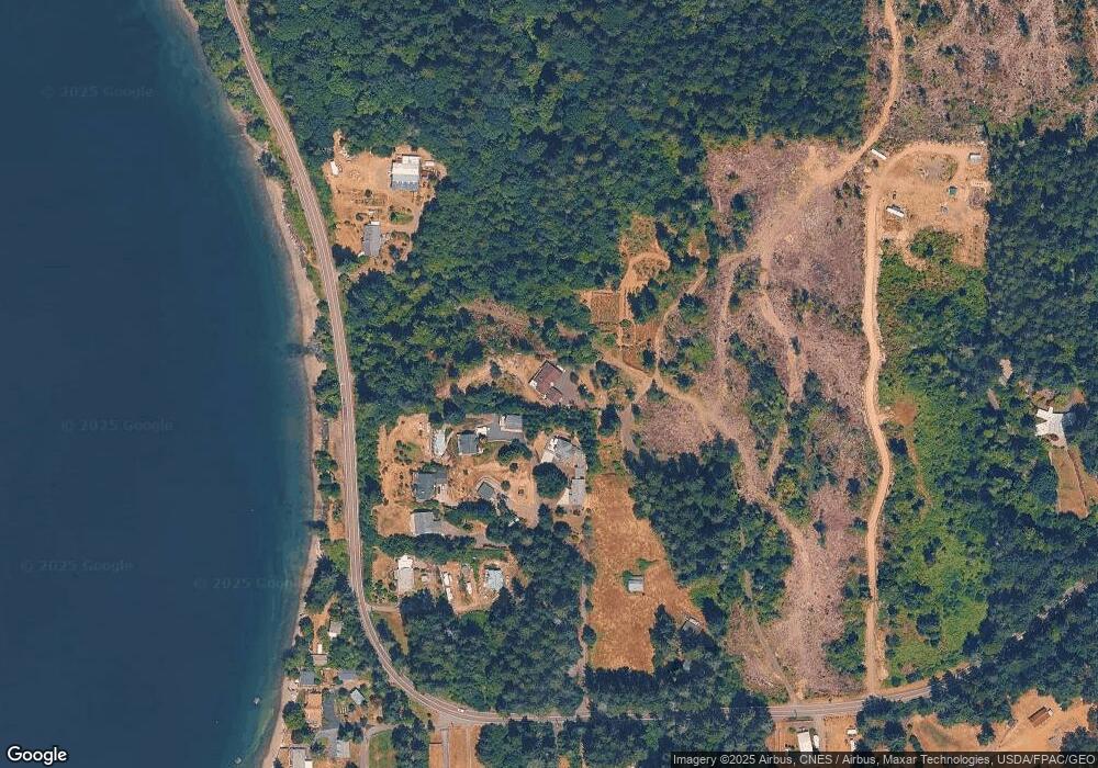
Map
Nearby Homes
- 5662 E State Route 302
- 116th 166th St NW
- 11415 189th Ave NW
- 13505 E Victor Rd
- 7530 E Grapeview Loop Rd
- 81 E Bay Heights Dr
- 17703 117th St NW
- 0 Undisclosed Unit NWM2427708
- 360 E Bay Heights Dr
- 17917 100th St NW
- 176th 83rd Ave NW
- 9321 185th Avenue Ct NW
- 2006 140th St NW
- 8320 E Grapeview Loop Rd
- 140 141& 230 Douglas Fir Ln
- 13613 186th Ave NW
- 18280 E State Route 3
- 90 E Treasure Island Dr
- 2007 140th St NW
- 13624 180th Ave NW
- 5655 E State Route 302
- 5657 E State Route 302
- 5653 E State Route 302
- 5671 E State Route 302
- 5511 E State Route 302
- 5490 E State Route 302
- 5540 E State Route 302
- 19716 State Route 302 NW
- 0 196th Av Ct Kpn Unit 775329
- 5730 E State Route 302
- 32 E Rocky Point Ln
- 19717 Rocky Bay Pt Rd
- 5720 E State Route 302
- 5632 E State Route 302
- 5630 E State Route 302
- 5670 E State Route 302
- 5660 E State Route 302
- 70 E Rocky Point Ln
- 5580 E State Route 302
- 5590 E State Route 302