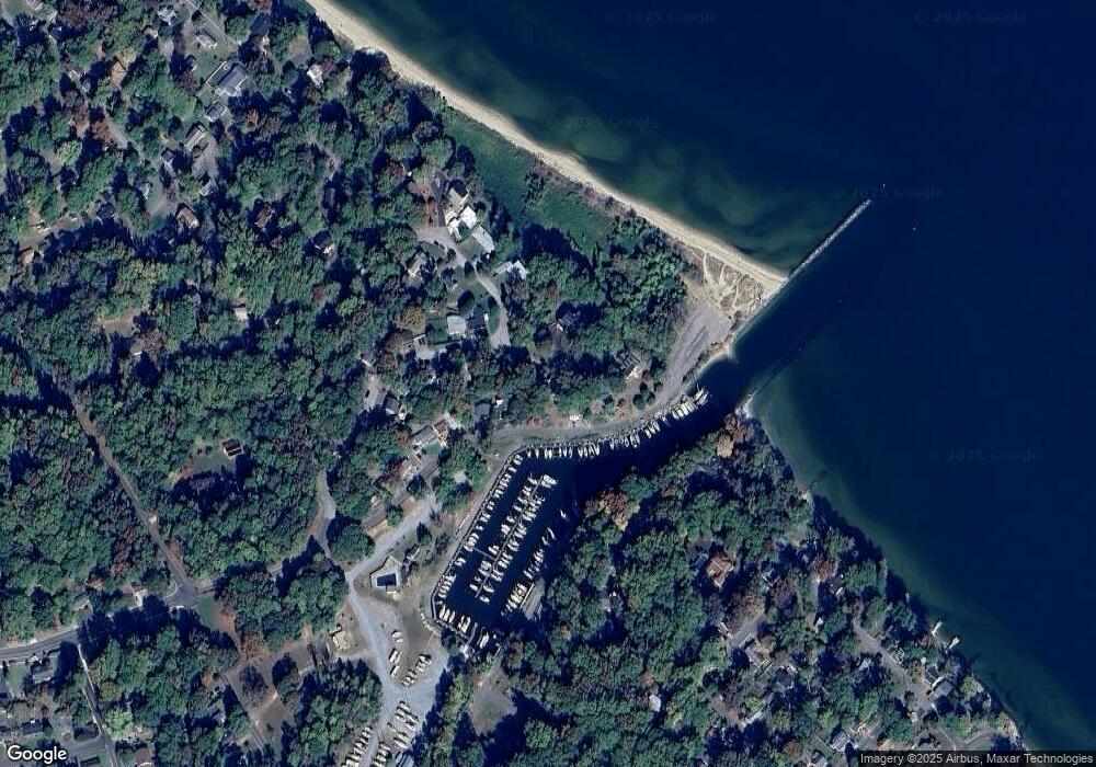
5675 Park Cir Saint Leonard, MD 20685
Saint Leonard NeighborhoodEstimated Value: $301,000 - $375,000
--
Bed
2
Baths
1,056
Sq Ft
$325/Sq Ft
Est. Value
About This Home
This home is located at 5675 Park Cir, Saint Leonard, MD 20685 and is currently estimated at $343,081, approximately $324 per square foot. 5675 Park Cir is a home located in Calvert County with nearby schools including St Leonard Elementary School, Southern Middle School, and Calvert High School.
Ownership History
Date
Name
Owned For
Owner Type
Purchase Details
Closed on
Jul 24, 2018
Sold by
Davidson Charles E and Davidson Delores H
Bought by
Davidson Delores H and Davidson Living Trust
Current Estimated Value
Purchase Details
Closed on
May 10, 1989
Sold by
Hutchens Landon Ray
Bought by
Davidson Charles E and Davidson Delores H
Home Financials for this Owner
Home Financials are based on the most recent Mortgage that was taken out on this home.
Original Mortgage
$103,000
Interest Rate
10.97%
Purchase Details
Closed on
Mar 1, 1988
Sold by
Ellis William A and Ellis Betsy A
Bought by
Hutchens Landon Ray
Home Financials for this Owner
Home Financials are based on the most recent Mortgage that was taken out on this home.
Original Mortgage
$89,550
Interest Rate
9.87%
Purchase Details
Closed on
May 16, 1984
Sold by
Collins Henry C and Collins Martha S
Bought by
Ellis William A and Ellis Betsy A
Create a Home Valuation Report for This Property
The Home Valuation Report is an in-depth analysis detailing your home's value as well as a comparison with similar homes in the area
Home Values in the Area
Average Home Value in this Area
Purchase History
| Date | Buyer | Sale Price | Title Company |
|---|---|---|---|
| Davidson Delores H | -- | None Available | |
| Davidson Charles E | $129,000 | -- | |
| Hutchens Landon Ray | $99,500 | -- | |
| Ellis William A | $80,000 | -- |
Source: Public Records
Mortgage History
| Date | Status | Borrower | Loan Amount |
|---|---|---|---|
| Closed | Davidson Charles E | $103,000 | |
| Previous Owner | Hutchens Landon Ray | $89,550 |
Source: Public Records
Tax History Compared to Growth
Tax History
| Year | Tax Paid | Tax Assessment Tax Assessment Total Assessment is a certain percentage of the fair market value that is determined by local assessors to be the total taxable value of land and additions on the property. | Land | Improvement |
|---|---|---|---|---|
| 2025 | $2,877 | $264,200 | $0 | $0 |
| 2024 | $2,877 | $252,100 | $0 | $0 |
| 2023 | $2,648 | $240,000 | $148,800 | $91,200 |
| 2022 | $2,588 | $234,600 | $0 | $0 |
| 2021 | $5,177 | $229,200 | $0 | $0 |
| 2020 | $2,481 | $223,800 | $148,800 | $75,000 |
| 2019 | $2,343 | $223,400 | $0 | $0 |
| 2018 | $2,339 | $223,000 | $0 | $0 |
| 2017 | $2,428 | $222,600 | $0 | $0 |
| 2016 | -- | $222,600 | $0 | $0 |
| 2015 | $2,220 | $222,600 | $0 | $0 |
| 2014 | $2,220 | $223,100 | $0 | $0 |
Source: Public Records
Map
Nearby Homes
- 1492 Dogwood Cir
- 1495 Elm Rd
- 6519 Long Beach Dr
- 5440 Bayview Ave
- 6041 Hill Rd
- 6215 Long Beach Dr
- 5805 Eucalyptus Dr
- 6055 Poplar Rd
- 5862 Magnolia Cir
- 6065 Poplar Rd
- 5859 Long Beach Dr
- 5963 Hillside Rd
- 5320 Majesty Ln
- 1041 Kings Creek Dr
- 350 Madeline Dr
- 6310 Saint Leonard Rd
- 1160 Calvert Beach Rd
- 7030 Saw Mill Rd
- 220 Fountain Ln
- 1111 Thompson Ct
- 5669 Park Cir
- 5679 Park Cir
- 1594 N Harbor Dr
- 1776 N Harbor Dr
- 1598 N Harbor Dr
- 1584 N Harbor Dr
- 5670 Park Cir
- 5685 Park Cir
- 1551 N Harbor Dr
- 1837 N Harbor Dr Unit 137
- 1570 Overlook Dr
- 1565 Overlook Dr
- 1570 N Harbor Dr
- 1566 N Harbor Dr
- 1560 Overlook Dr
- 1569 Overlook Dr
- 1562 N Harbor Dr
- 1578 Overlook Dr
- 1555 Overlook Dr
- 1584 Overlook Dr
