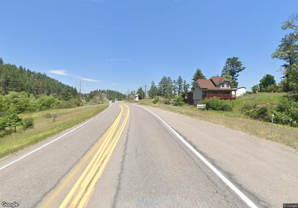
5675 Us Highway 93 S Unit 20 Somers, MT 59932
Estimated Value: $985,000 - $1,221,000
2
Beds
2
Baths
1,990
Sq Ft
$560/Sq Ft
Est. Value
About This Home
This home is located at 5675 Us Highway 93 S Unit 20, Somers, MT 59932 and is currently estimated at $1,114,688, approximately $560 per square foot. 5675 Us Highway 93 S Unit 20 is a home located in Flathead County with nearby schools including Lakeside Elementary School, Somers Middle School, and Flathead High School.
Ownership History
Date
Name
Owned For
Owner Type
Purchase Details
Closed on
Jun 29, 2020
Sold by
Macdonaid Linda D and Macdonald Charles L
Bought by
Bergenheier Calvin
Current Estimated Value
Home Financials for this Owner
Home Financials are based on the most recent Mortgage that was taken out on this home.
Original Mortgage
$555,000
Outstanding Balance
$493,050
Interest Rate
3.2%
Mortgage Type
VA
Estimated Equity
$621,638
Purchase Details
Closed on
May 1, 2017
Sold by
Macdonald Linda D and Macdonald Charles L
Bought by
Macdonald Linda D and Macdonald Charles L
Purchase Details
Closed on
Oct 5, 2009
Sold by
5 00 Somewhere Llc
Bought by
Macdonald Charles L and Macdonald Linda D
Create a Home Valuation Report for This Property
The Home Valuation Report is an in-depth analysis detailing your home's value as well as a comparison with similar homes in the area
Home Values in the Area
Average Home Value in this Area
Purchase History
| Date | Buyer | Sale Price | Title Company |
|---|---|---|---|
| Bergenheier Calvin | -- | Fidelity National Title | |
| Macdonald Linda D | -- | None Available | |
| Macdonald Charles L | -- | First American Title Company |
Source: Public Records
Mortgage History
| Date | Status | Borrower | Loan Amount |
|---|---|---|---|
| Open | Bergenheier Calvin | $555,000 |
Source: Public Records
Tax History Compared to Growth
Tax History
| Year | Tax Paid | Tax Assessment Tax Assessment Total Assessment is a certain percentage of the fair market value that is determined by local assessors to be the total taxable value of land and additions on the property. | Land | Improvement |
|---|---|---|---|---|
| 2025 | $4,223 | $1,085,900 | $0 | $0 |
| 2024 | $3,801 | $696,100 | $0 | $0 |
| 2023 | $3,830 | $696,100 | $0 | $0 |
| 2022 | $4,164 | $573,800 | $0 | $0 |
| 2021 | $4,514 | $573,800 | $0 | $0 |
| 2020 | $4,855 | $601,700 | $0 | $0 |
| 2019 | $4,669 | $601,700 | $0 | $0 |
| 2018 | $4,983 | $614,800 | $0 | $0 |
| 2017 | $4,598 | $614,800 | $0 | $0 |
| 2016 | $3,865 | $531,400 | $0 | $0 |
| 2015 | $4,004 | $531,400 | $0 | $0 |
| 2014 | $4,423 | $370,523 | $0 | $0 |
Source: Public Records
Map
Nearby Homes
- Nhn (Tract 10) Boon Rd
- Nhn (Tract 7) Boon Rd
- Nhn (Tract 9) Boon Rd
- 369 S Eighty Dr
- 325 S Eighty Dr
- 380 S Eighty Dr
- 118 Valley Vista Dr
- 195 Breezy Point Ave
- 685 N Juniper Bay Rd
- 898 Elias Ln
- 433, 437 & 439 Buffalo Trail
- 439 Buffalo Trail
- 433 Buffalo Trail
- 437 Buffalo Trail
- 445 Buffalo Trail
- 0 Cramer Creek Rd Unit 25712613
- 395 Buffalo Ln
- NHN Montana 82
- Tr 8,9,10 Montana 82
- NKN Montana 82
- Nhn Highway 93 S
- 5675 Us Highway 93 S
- 5675 Us Highway 93 S
- 5675 Us Highway 93 S
- 5675 Us Highway 93 S Unit 10
- 5675 Us Highway 93 S Unit 8
- 5675 Us Highway 93 S Unit 5
- 5675 Us Highway 93 S Unit 7
- 5675 Us Highway 93 S Unit 12
- 5675 Us Highway 93 S Unit 12
- 5675 Us Highway 93 S Unit 19
- 5675 Us Highway 93 S Unit 19
- 5675 Us Highway 93 S Unit 21
- 5675 Us Highway 93 S Unit 11
- 5675 Us Highway 93 S Unit 20
- 5675 Us Highway 93 S Unit 16
- 5675 Us Highway 93 S Unit 9
- 5675 Highway 93 Unit 7
- 5675 Highway 93 Unit 12
- 5675 Us Highway 93 S Unit 16