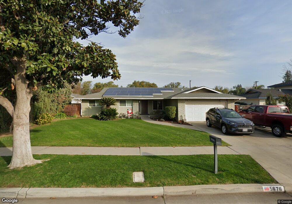
5676 N 7th St Fresno, CA 93710
Hoover NeighborhoodEstimated Value: $388,000 - $429,000
4
Beds
2
Baths
1,790
Sq Ft
$229/Sq Ft
Est. Value
About This Home
This home is located at 5676 N 7th St, Fresno, CA 93710 and is currently estimated at $409,541, approximately $228 per square foot. 5676 N 7th St is a home located in Fresno County with nearby schools including Wolters Elementary School, Ahwahnee Middle School, and Herbert Hoover High School.
Ownership History
Date
Name
Owned For
Owner Type
Purchase Details
Closed on
Oct 27, 2020
Sold by
Stoner Rory D
Bought by
Stoner Rory D and Stoner Rebecca
Current Estimated Value
Home Financials for this Owner
Home Financials are based on the most recent Mortgage that was taken out on this home.
Original Mortgage
$212,130
Outstanding Balance
$188,766
Interest Rate
2.8%
Mortgage Type
VA
Estimated Equity
$220,775
Purchase Details
Closed on
Dec 23, 1993
Sold by
Stoner Rory D
Bought by
Stoner Rory D
Home Financials for this Owner
Home Financials are based on the most recent Mortgage that was taken out on this home.
Original Mortgage
$96,500
Interest Rate
7.09%
Create a Home Valuation Report for This Property
The Home Valuation Report is an in-depth analysis detailing your home's value as well as a comparison with similar homes in the area
Home Values in the Area
Average Home Value in this Area
Purchase History
| Date | Buyer | Sale Price | Title Company |
|---|---|---|---|
| Stoner Rory D | -- | Placer Title Company | |
| Stoner Rory D | -- | World Title Company |
Source: Public Records
Mortgage History
| Date | Status | Borrower | Loan Amount |
|---|---|---|---|
| Open | Stoner Rory D | $212,130 | |
| Closed | Stoner Rory D | $96,500 | |
| Closed | Stoner Rory D | $10,375 |
Source: Public Records
Tax History Compared to Growth
Tax History
| Year | Tax Paid | Tax Assessment Tax Assessment Total Assessment is a certain percentage of the fair market value that is determined by local assessors to be the total taxable value of land and additions on the property. | Land | Improvement |
|---|---|---|---|---|
| 2025 | $2,362 | $195,116 | $51,752 | $143,364 |
| 2023 | $2,316 | $187,542 | $49,744 | $137,798 |
| 2022 | $2,283 | $183,866 | $48,769 | $135,097 |
| 2021 | $2,307 | $180,262 | $47,813 | $132,449 |
| 2020 | $2,208 | $178,414 | $47,323 | $131,091 |
| 2019 | $2,122 | $174,917 | $46,396 | $128,521 |
| 2018 | $2,075 | $171,488 | $45,487 | $126,001 |
| 2017 | $2,038 | $168,127 | $44,596 | $123,531 |
| 2016 | $1,969 | $164,831 | $43,722 | $121,109 |
| 2015 | $1,938 | $162,356 | $43,066 | $119,290 |
| 2014 | $1,901 | $159,177 | $42,223 | $116,954 |
Source: Public Records
Map
Nearby Homes
- 1591 E Almendra Dr
- 5543 N 7th St
- 1568 E Calimyrna Ave
- 6085 N 10th St
- 5474 N 7th St
- 1711 E Stuart Ave
- 1465 E Escalon Ave
- 5720 N Bond St
- 5530 N Bond St
- 5435 N Bond St
- 1310 E Sample Ave
- 1214 E San Ramon Ave
- 786 E Dovewood Ln
- 1719 E Los Altos Ave
- 1038 E Vartikian Ave
- 6498 N Flora Ave
- 5676 N Callisch Ave
- 6544 N Barton Ave
- 4909 N 7th St Unit T
- 4909 N 7th St Unit S