5676 Taft Ave SE Lone Tree, IA 52755
Estimated Value: $237,000 - $327,000
--
Bed
2
Baths
1,224
Sq Ft
$237/Sq Ft
Est. Value
About This Home
This home is located at 5676 Taft Ave SE, Lone Tree, IA 52755 and is currently estimated at $289,523, approximately $236 per square foot. 5676 Taft Ave SE is a home located in Johnson County with nearby schools including Lone Tree Elementary School and Lone Tree Junior/Senior High School.
Create a Home Valuation Report for This Property
The Home Valuation Report is an in-depth analysis detailing your home's value as well as a comparison with similar homes in the area
Home Values in the Area
Average Home Value in this Area
Tax History Compared to Growth
Tax History
| Year | Tax Paid | Tax Assessment Tax Assessment Total Assessment is a certain percentage of the fair market value that is determined by local assessors to be the total taxable value of land and additions on the property. | Land | Improvement |
|---|---|---|---|---|
| 2025 | $2,654 | $247,600 | $72,000 | $175,600 |
| 2024 | $2,618 | $243,600 | $72,000 | $171,600 |
| 2023 | $2,580 | $243,600 | $72,000 | $171,600 |
| 2022 | $2,552 | $199,300 | $61,600 | $137,700 |
| 2021 | $2,490 | $199,300 | $61,600 | $137,700 |
| 2020 | $2,490 | $186,100 | $61,600 | $124,500 |
| 2019 | $2,152 | $187,600 | $61,600 | $126,000 |
| 2018 | $2,116 | $159,100 | $51,700 | $107,400 |
| 2017 | $2,116 | $159,100 | $51,700 | $107,400 |
| 2016 | $2,028 | $156,000 | $51,700 | $104,300 |
| 2015 | $2,028 | $156,000 | $51,700 | $104,300 |
| 2014 | $1,858 | $141,600 | $45,500 | $96,100 |
Source: Public Records
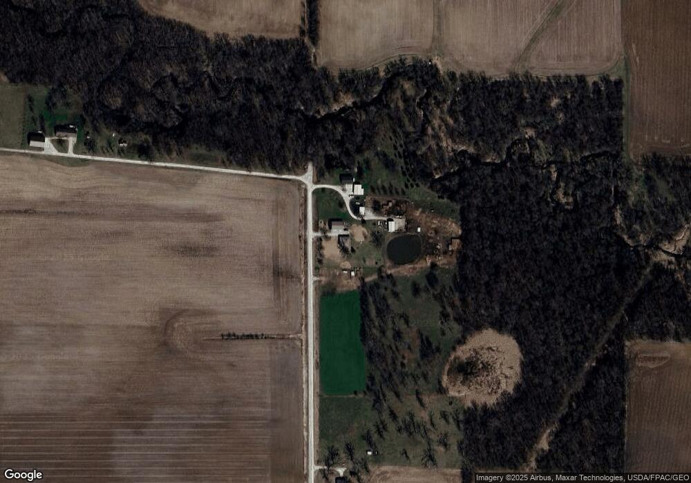
Map
Nearby Homes
- 745 N Perkins St
- 5888 Sand Rd SE
- 0 520th St SE
- 219 Taylor Dr
- 221 W Commercial St
- 201 N Devoe St
- 407 E Elm St
- 500 S Center St
- 203 W Dougherty Dr
- 106 Dorothy Ln
- 1092 Walnut Ave Unit 114 Bld D
- 1049 Vine Ave
- 121 Brady St
- 3135 115th St
- 5317 Oak Crest Hill Rd SE
- Lot 2 116th Cir
- 201 Sierra Park Dr
- 41 Williams Cir
- 5319 Oak Crest Hill Rd SE
- 5241 Oak Crest Hill Rd SE