Estimated Value: $336,000 - $693,000
2
Beds
2
Baths
1,408
Sq Ft
$389/Sq Ft
Est. Value
About This Home
This home is located at 5677 Hoodoo Point Rd, Tower, MN 55790 and is currently estimated at $547,878, approximately $389 per square foot. 5677 Hoodoo Point Rd is a home located in St. Louis County with nearby schools including Tower-Soudan Elementary School and Vermilion Country School.
Ownership History
Date
Name
Owned For
Owner Type
Purchase Details
Closed on
Apr 15, 2021
Sold by
Bongaarts James and Bongaarts Betty
Bought by
Hackel David Larry
Current Estimated Value
Purchase Details
Closed on
May 28, 2010
Sold by
Rice Timothy L and Rice Charlotte E
Bought by
Bongaarts James and Bongaarts Betty
Home Financials for this Owner
Home Financials are based on the most recent Mortgage that was taken out on this home.
Original Mortgage
$236,000
Interest Rate
5.13%
Mortgage Type
New Conventional
Create a Home Valuation Report for This Property
The Home Valuation Report is an in-depth analysis detailing your home's value as well as a comparison with similar homes in the area
Purchase History
| Date | Buyer | Sale Price | Title Company |
|---|---|---|---|
| Hackel David Larry | $495,000 | None Available | |
| Bongaarts James | $362,500 | Rels Title | |
| Hackel David David | $495,000 | -- |
Source: Public Records
Mortgage History
| Date | Status | Borrower | Loan Amount |
|---|---|---|---|
| Previous Owner | Bongaarts James | $236,000 |
Source: Public Records
Tax History
| Year | Tax Paid | Tax Assessment Tax Assessment Total Assessment is a certain percentage of the fair market value that is determined by local assessors to be the total taxable value of land and additions on the property. | Land | Improvement |
|---|---|---|---|---|
| 2024 | $4,816 | $415,300 | $176,300 | $239,000 |
| 2023 | $4,816 | $376,300 | $163,500 | $212,800 |
| 2022 | $4,098 | $375,400 | $163,500 | $211,900 |
| 2021 | $4,070 | $319,200 | $142,100 | $177,100 |
| 2020 | $4,062 | $319,200 | $142,100 | $177,100 |
| 2019 | $3,692 | $316,900 | $139,600 | $177,300 |
| 2018 | $3,504 | $304,700 | $127,400 | $177,300 |
| 2017 | $3,480 | $287,600 | $127,500 | $160,100 |
| 2016 | $3,506 | $287,600 | $127,500 | $160,100 |
| 2015 | $4,037 | $307,300 | $123,300 | $184,000 |
| 2014 | $4,037 | $307,300 | $123,300 | $184,000 |
Source: Public Records
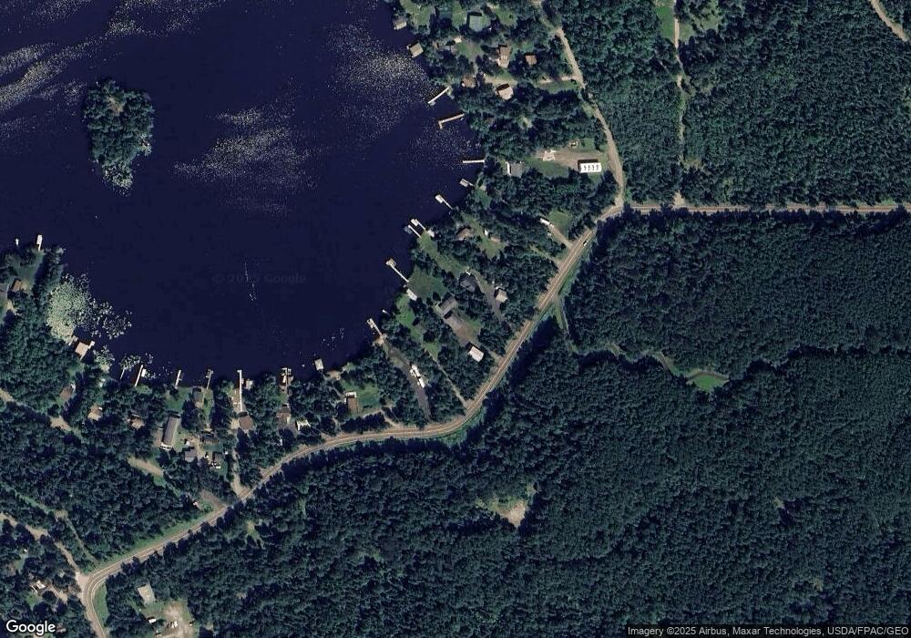
Map
Nearby Homes
- 5743 Puncher Point Rd
- TBD
- TBD Meyers Island
- TBD 13 Lake Ave S
- TBD 6 Lake Ave S
- TBD 5 Lake Ave S
- 1224 Birch St N
- TBD 30 Lake Ave Ave S
- 80052 Tamarack
- 80054 Tamarack
- 815 3rd St N
- 507 Main St
- 125 Marjo (4 Br) Dr
- Lot 105 Marjo Dr
- Lot 128 Marjo Dr
- 128 Marjo Dr
- 125 Marjo Dr
- Lot 125 Marjo Dr
- 105 Marjo Dr
- 110 N 3rd St
- 5681 Hoodoo Point Rd
- 5687 Hoodoo Point Rd
- 5665 Hoodoo Point Rd
- 5663 Hoodoo Point Rd
- 5695 Hoodoo Point Rd
- 1485 W Mallard Dr
- 1485 W Mallard Dr Unit Lake Vermilion
- 1485 W Mallard Dr
- 1485 W Mallard Dr
- 5699 Hoodoo Point Rd
- 1491 W Mallard Dr
- 1510 W Mallard Dr Unit Lake Vermilion
- 1510 W Mallard Dr
- 1495 W Mallard Dr
- 5703 Hoodoo Point Rd
- 1501 W Mallard Dr
- 1510 1510 Mallard Drive--W
- 1510 1510 W Mallard Dr
- 1503 W Mallard Dr
- 5725 Puncher Point Rd
Your Personal Tour Guide
Ask me questions while you tour the home.