Estimated Value: $640,000 - $2,235,948
3
Beds
1
Bath
348
Sq Ft
$4,132/Sq Ft
Est. Value
About This Home
This home is located at 568 Lewis Rd, Cairo, GA 39828 and is currently estimated at $1,437,974, approximately $4,132 per square foot. 568 Lewis Rd is a home with nearby schools including Calvary Christian School.
Ownership History
Date
Name
Owned For
Owner Type
Purchase Details
Closed on
Jul 6, 2018
Sold by
Bicknell Dawna G
Bought by
Blue Bear Farm Llc
Current Estimated Value
Purchase Details
Closed on
Jun 1, 2016
Sold by
Bicknell Dawna
Bought by
Black Susan E
Purchase Details
Closed on
Jun 3, 2015
Sold by
Stockwell Jeffrey L
Bought by
Stockwell Jeffrey L and Stockwell Connie S
Purchase Details
Closed on
May 17, 2013
Sold by
Crimson Lewis Road Llc
Bought by
Bicknell Dawna G
Purchase Details
Closed on
Nov 14, 2012
Sold by
Mitchell Emmitt
Bought by
Synovus Bank
Create a Home Valuation Report for This Property
The Home Valuation Report is an in-depth analysis detailing your home's value as well as a comparison with similar homes in the area
Purchase History
| Date | Buyer | Sale Price | Title Company |
|---|---|---|---|
| Blue Bear Farm Llc | -- | -- | |
| Black Susan E | $160 | -- | |
| Stockwell Jeffrey L | -- | -- | |
| Stockwell Jeffrey L | $1,300 | -- | |
| Bicknell Dawna G | $416,500 | -- | |
| Synovus Bank | -- | -- |
Source: Public Records
Tax History
| Year | Tax Paid | Tax Assessment Tax Assessment Total Assessment is a certain percentage of the fair market value that is determined by local assessors to be the total taxable value of land and additions on the property. | Land | Improvement |
|---|---|---|---|---|
| 2024 | $6,644 | $511,343 | $311,181 | $200,162 |
| 2023 | $6,849 | $310,989 | $136,315 | $174,674 |
| 2022 | $6,810 | $310,989 | $136,315 | $174,674 |
| 2021 | $6,795 | $310,989 | $136,315 | $174,674 |
| 2020 | $6,782 | $310,989 | $136,315 | $174,674 |
| 2019 | $6,604 | $301,852 | $127,178 | $174,674 |
| 2018 | $6,165 | $180,517 | $127,178 | $53,339 |
| 2017 | $2,533 | $180,517 | $127,178 | $53,339 |
| 2016 | $2,407 | $176,564 | $127,225 | $49,339 |
| 2015 | $993 | $127,518 | $127,518 | $0 |
| 2014 | $966 | $127,518 | $127,518 | $0 |
| 2013 | -- | $0 | $0 | $0 |
Source: Public Records
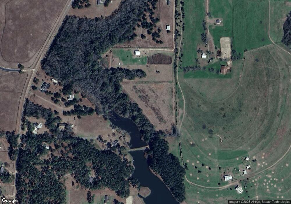
Map
Nearby Homes
- 2ACR Lewis Rd
- 1104 Lewis Rd
- 262 Crawford Ln
- 298 Pine Cone Ln
- 275 Lewis Ln
- 279-1C Lewis Ln
- 1217 Pine Park Rd
- 140 Elderberry Ln
- 4103 Hadley Ferry Rd
- 1891 Lakewood Dr SE
- 1870 Oakdale Rd SE
- 171 Council Ln
- 0 111 Hwy Unit 396477
- 112 Cakebread Dr
- 198 Oakdale Rd SE
- 4761 Hadley Ferry Road (428+ - Acres)
- 130 17th Ave SE
- 1406 Platt Ave
- 1405 Platt Ave
- 530 6th St
- 590 Lewis Rd
- 1443 Midway Rd Unit L2
- 1443 Midway Rd
- 1443 Midway Rd Unit 1
- 1443 Midway Rd Unit 3
- 1443 Midway Rd
- 1499 Midway Rd
- 1479 Midway Rd
- 1555 Midway Rd
- 600 Lewis Rd
- 1427 Midway Rd
- 560 Lewis Rd
- 1455 Midway Rd
- 564 Lewis Rd
- 720 Lewis Rd
- 599 Lewis Rd
- 1495 Midway Rd
- 1395 Midway Rd
- 651 Lewis Rd
- 1489 Midway Rd
Your Personal Tour Guide
Ask me questions while you tour the home.