Estimated Value: $250,000 - $283,000
2
Beds
2
Baths
1,284
Sq Ft
$206/Sq Ft
Est. Value
About This Home
This home is located at 568 Maple Ln, Mason, OH 45040 and is currently estimated at $264,786, approximately $206 per square foot. 568 Maple Ln is a home located in Warren County with nearby schools including Mason Intermediate Elementary School, Mason Middle School, and William Mason High School.
Ownership History
Date
Name
Owned For
Owner Type
Purchase Details
Closed on
Jun 3, 2021
Sold by
Gupta Sandeep and Gupta Chandan
Bought by
Spcv Ventures Ltd
Current Estimated Value
Purchase Details
Closed on
Sep 24, 2019
Sold by
Siebert Albert D
Bought by
Gupta Sandeep
Purchase Details
Closed on
Feb 28, 2003
Sold by
Hardig Bradley R
Bought by
Seibert Albert D
Home Financials for this Owner
Home Financials are based on the most recent Mortgage that was taken out on this home.
Original Mortgage
$96,900
Interest Rate
6%
Mortgage Type
Unknown
Purchase Details
Closed on
Sep 23, 1997
Sold by
Kieper Paul W
Bought by
Hardig Bradley R
Home Financials for this Owner
Home Financials are based on the most recent Mortgage that was taken out on this home.
Original Mortgage
$80,800
Interest Rate
7.55%
Mortgage Type
New Conventional
Purchase Details
Closed on
Aug 25, 1978
Sold by
Greenery Assoc
Create a Home Valuation Report for This Property
The Home Valuation Report is an in-depth analysis detailing your home's value as well as a comparison with similar homes in the area
Home Values in the Area
Average Home Value in this Area
Purchase History
| Date | Buyer | Sale Price | Title Company |
|---|---|---|---|
| Spcv Ventures Ltd | -- | None Available | |
| Gupta Sandeep | $112,000 | None Available | |
| Seibert Albert D | $114,000 | Advanced Land Title Agency L | |
| Hardig Bradley R | $101,000 | -- | |
| -- | $54,100 | -- |
Source: Public Records
Mortgage History
| Date | Status | Borrower | Loan Amount |
|---|---|---|---|
| Previous Owner | Seibert Albert D | $96,900 | |
| Previous Owner | Hardig Bradley R | $80,800 |
Source: Public Records
Tax History
| Year | Tax Paid | Tax Assessment Tax Assessment Total Assessment is a certain percentage of the fair market value that is determined by local assessors to be the total taxable value of land and additions on the property. | Land | Improvement |
|---|---|---|---|---|
| 2025 | $2,944 | $70,860 | $21,000 | $49,860 |
| 2024 | $2,944 | $70,860 | $21,000 | $49,860 |
| 2023 | $2,491 | $50,655 | $8,260 | $42,395 |
| 2022 | $2,458 | $50,656 | $8,260 | $42,396 |
| 2021 | $2,328 | $50,656 | $8,260 | $42,396 |
| 2020 | $2,308 | $42,928 | $7,000 | $35,928 |
| 2019 | $2,068 | $42,928 | $7,000 | $35,928 |
| 2018 | $2,075 | $42,928 | $7,000 | $35,928 |
| 2017 | $1,869 | $36,096 | $5,985 | $30,111 |
| 2016 | $1,925 | $36,096 | $5,985 | $30,111 |
| 2015 | $1,929 | $36,096 | $5,985 | $30,111 |
| 2014 | $2,069 | $36,100 | $5,990 | $30,110 |
| 2013 | $2,073 | $42,220 | $7,000 | $35,220 |
Source: Public Records
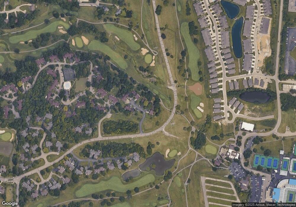
Map
Nearby Homes
- 5873 Falling Brook Dr
- 618 Bunker Ln
- 382 Walnut Ln
- 602 Bunker Ln
- 501 Kings Mills Rd
- 6416 Eagleview Dr
- 5921 Fairway Dr
- 5399 Country Ridge Dr
- 5276 Bay Pointe Dr
- 342 Bexley Ct Unit 20
- 3808 Sandtrap Cir Unit 3808
- 6323 Tarton Fields Ln
- 6510 Prestwick Ct
- 6388 Inverness Way
- 5533 Cox-Smith Rd
- 5523 Cox-Smith Rd
- 5513 Cox-Smith Rd
- 5493 Cox-Smith Rd
- 5503 Cox-Smith Rd
- 6246 Fairway Dr
Your Personal Tour Guide
Ask me questions while you tour the home.