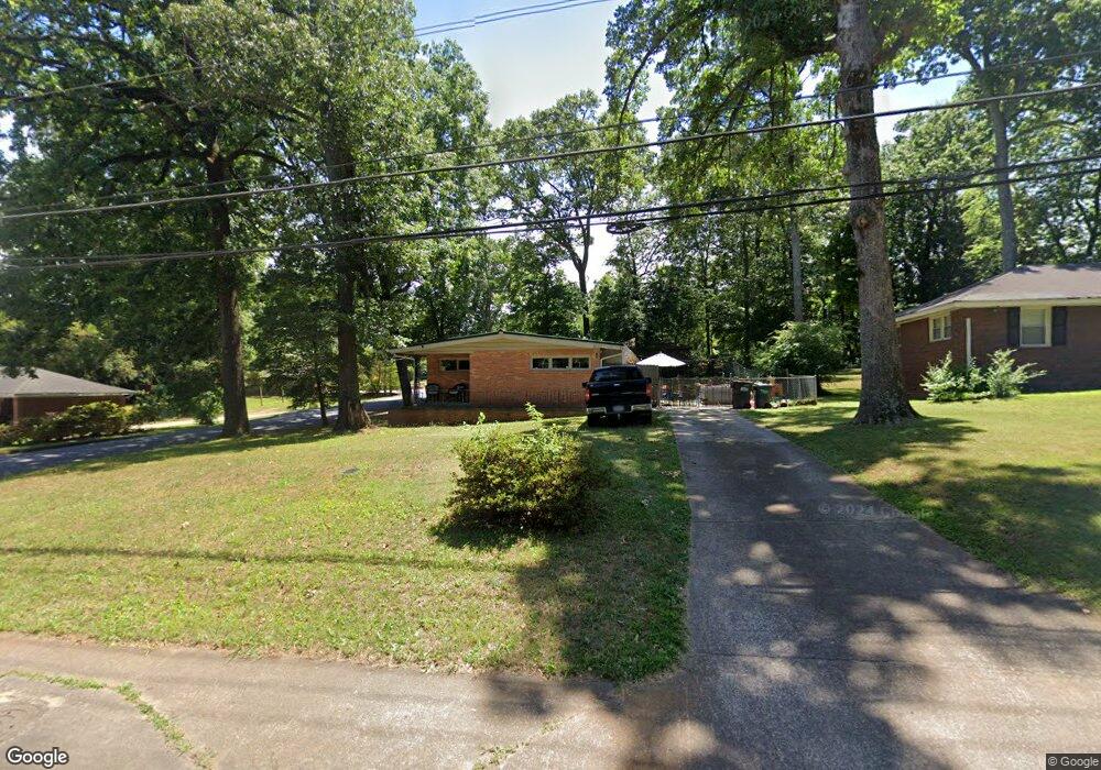
568 Powers Ferry Rd SE Unit 1 Marietta, GA 30067
Powers Park NeighborhoodEstimated Value: $337,000 - $369,000
3
Beds
2
Baths
1,421
Sq Ft
$249/Sq Ft
Est. Value
About This Home
This home is located at 568 Powers Ferry Rd SE Unit 1, Marietta, GA 30067 and is currently estimated at $353,763, approximately $248 per square foot. 568 Powers Ferry Rd SE Unit 1 is a home located in Cobb County with nearby schools including Powers Ferry Elementary School, East Cobb Middle School, and Wheeler High School.
Ownership History
Date
Name
Owned For
Owner Type
Purchase Details
Closed on
Dec 1, 2016
Sold by
Jones Adam
Bought by
Tolan Nicholas J
Current Estimated Value
Home Financials for this Owner
Home Financials are based on the most recent Mortgage that was taken out on this home.
Original Mortgage
$150,228
Interest Rate
4.25%
Mortgage Type
FHA
Purchase Details
Closed on
Oct 2, 2006
Sold by
Fountain Stanley
Bought by
Jones Adam
Home Financials for this Owner
Home Financials are based on the most recent Mortgage that was taken out on this home.
Original Mortgage
$146,000
Interest Rate
6.46%
Mortgage Type
New Conventional
Purchase Details
Closed on
Jan 17, 2000
Sold by
Khdeir Najah F
Bought by
Fountain Group Inc
Create a Home Valuation Report for This Property
The Home Valuation Report is an in-depth analysis detailing your home's value as well as a comparison with similar homes in the area
Home Values in the Area
Average Home Value in this Area
Purchase History
| Date | Buyer | Sale Price | Title Company |
|---|---|---|---|
| Tolan Nicholas J | $153,000 | -- | |
| Jones Adam | $146,000 | -- | |
| Fountain Group Inc | $80,000 | -- |
Source: Public Records
Mortgage History
| Date | Status | Borrower | Loan Amount |
|---|---|---|---|
| Previous Owner | Tolan Nicholas J | $150,228 | |
| Previous Owner | Jones Adam | $146,000 |
Source: Public Records
Tax History Compared to Growth
Tax History
| Year | Tax Paid | Tax Assessment Tax Assessment Total Assessment is a certain percentage of the fair market value that is determined by local assessors to be the total taxable value of land and additions on the property. | Land | Improvement |
|---|---|---|---|---|
| 2024 | $3,254 | $116,920 | $16,000 | $100,920 |
| 2023 | $3,525 | $116,920 | $16,000 | $100,920 |
| 2022 | $3,549 | $116,920 | $16,000 | $100,920 |
| 2021 | $2,246 | $74,008 | $16,000 | $58,008 |
| 2020 | $2,246 | $74,008 | $16,000 | $58,008 |
| 2019 | $2,005 | $66,064 | $12,000 | $54,064 |
| 2018 | $1,855 | $61,104 | $12,000 | $49,104 |
| 2017 | $1,430 | $49,724 | $16,000 | $33,724 |
| 2016 | $1,059 | $45,724 | $12,000 | $33,724 |
| 2015 | $1,087 | $45,724 | $12,000 | $33,724 |
| 2014 | $627 | $29,940 | $0 | $0 |
Source: Public Records
Map
Nearby Homes
- 470 Oriole Dr SE
- 3155 Woodberry Ln SE
- 1051 Oriole Ln SE
- 402 Terrydale Dr SE
- 456 Sybil Ln SE
- 595 Harcourt Place SE
- 2059 Clearwater Dr SE
- 2330 Trellis Ln SE
- 2339 Engineers Dr SE
- 830 Bonnie Glen Dr SE
- 349 Virginia Place SE
- 2490 Freydale Rd SE
- 2164 Pawnee Dr SE Unit 1
- 2514 Sunny Ln SE
- 706 Twin Brooks Ct SE
- 190 Kenley Ct
- 720 Smithstone Rd SE
- 651 Inglis Dr SE
- 2238 Surrey Ct SE
- 2310 Old Sewell Rd
- 562 Powers Ferry Rd SE
- 578 Powers Ferry Rd SE
- 584 Castlewood Dr SE
- 556 Powers Ferry Rd SE
- 583 Castlewood Dr SE
- 584 Powers Ferry Rd SE Unit 1
- 590 Castlewood Dr SE
- 571 Powers Ferry Rd SE
- 591 Castlewood Dr SE
- 45 Oakland Dr SE
- 592 Powers Ferry Rd SE
- 550 Powers Ferry Rd SE
- 547 Powers Ferry Rd SE
- 0 Castlewood Dr SE Unit 8505158
- 0 Castlewood Dr SE Unit 8148965
- 0 Castlewood Dr SE Unit 7068638
- 0 Castlewood Dr SE Unit 7067825
- 0 Castlewood Dr SE Unit 3140220
- 598 Castlewood Dr SE
- 579 Oakland Dr SE