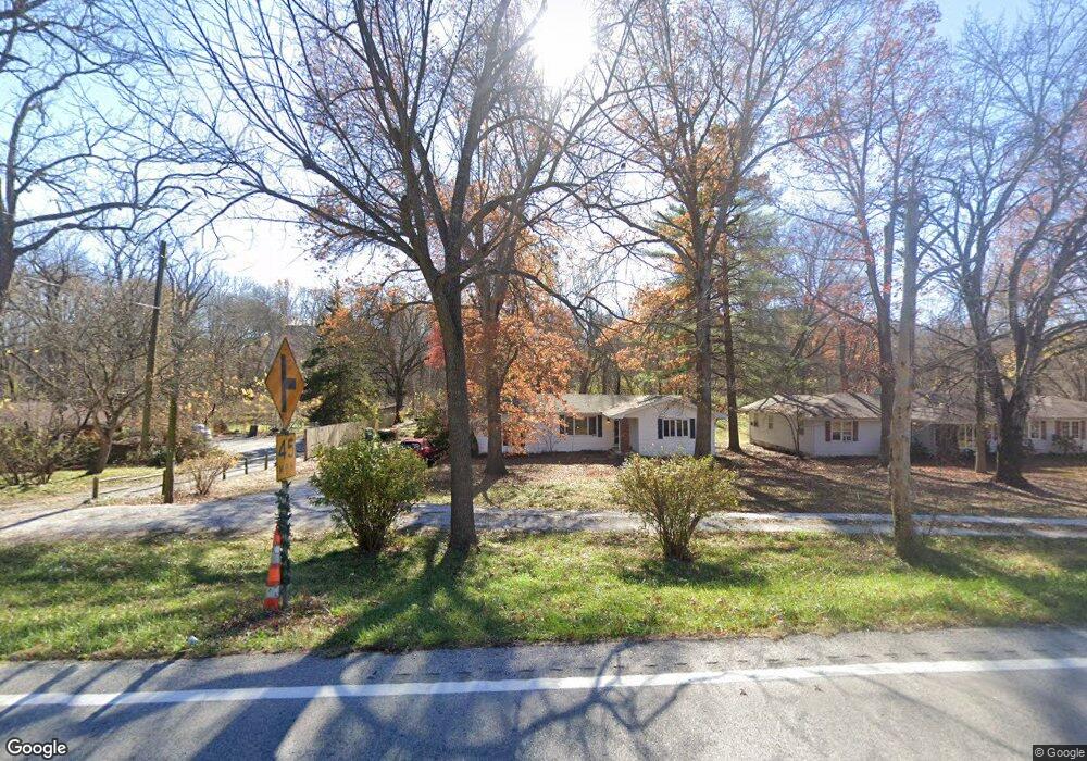
5682 E State Highway Yy Springfield, MO 65802
Southeast Springfield NeighborhoodEstimated Value: $236,689 - $332,000
3
Beds
1
Bath
1,280
Sq Ft
$219/Sq Ft
Est. Value
About This Home
This home is located at 5682 E State Highway Yy, Springfield, MO 65802 and is currently estimated at $280,563, approximately $219 per square foot. 5682 E State Highway Yy is a home located in Greene County with nearby schools including Hickory Hills K-8 School and Glendale High School.
Ownership History
Date
Name
Owned For
Owner Type
Purchase Details
Closed on
Oct 8, 2013
Sold by
Wallar Orville W and Wallar Eunice H
Bought by
Debacker Michael David and Debacker Kara Denise
Current Estimated Value
Purchase Details
Closed on
Aug 30, 2013
Sold by
Kyle James K and Kyle Marsha K
Bought by
Wallar Orville W and Wallar Eunice H
Purchase Details
Closed on
Jul 8, 2011
Sold by
Forster Ben and Forster Linda
Bought by
Kyle James K and Kyle Marsha K
Create a Home Valuation Report for This Property
The Home Valuation Report is an in-depth analysis detailing your home's value as well as a comparison with similar homes in the area
Home Values in the Area
Average Home Value in this Area
Purchase History
| Date | Buyer | Sale Price | Title Company |
|---|---|---|---|
| Debacker Michael David | -- | None Available | |
| Wallar Orville W | -- | None Available | |
| Kyle James K | -- | None Available |
Source: Public Records
Tax History
| Year | Tax Paid | Tax Assessment Tax Assessment Total Assessment is a certain percentage of the fair market value that is determined by local assessors to be the total taxable value of land and additions on the property. | Land | Improvement |
|---|---|---|---|---|
| 2025 | $1,294 | $24,170 | $12,600 | $11,570 |
| 2024 | $1,213 | $21,470 | $10,220 | $11,250 |
| 2023 | $1,218 | $21,470 | $10,220 | $11,250 |
| 2022 | $1,256 | $21,530 | $10,220 | $11,310 |
| 2021 | $1,190 | $21,530 | $10,220 | $11,310 |
| 2020 | $1,189 | $20,480 | $10,220 | $10,260 |
| 2019 | $1,157 | $20,480 | $10,220 | $10,260 |
| 2018 | $1,137 | $20,100 | $10,220 | $9,880 |
| 2017 | $1,126 | $19,280 | $10,220 | $9,060 |
| 2016 | $1,080 | $19,280 | $10,220 | $9,060 |
| 2015 | $1,071 | $19,280 | $10,220 | $9,060 |
| 2014 | $1,062 | $18,980 | $10,220 | $8,760 |
Source: Public Records
Map
Nearby Homes
- Lot 40 Beland Blvd
- 1927 N Vineyard Place
- Lot 24 Wonderview Ln
- Lot 25 Wonderview Ln
- 5677 E Pearson Pkwy
- Lot 45 Morningwood
- Lot 73 Beland Blvd
- Lot 44 Morningwood
- Lot 37 Summertime St
- Lot 28 Wonderview Ln
- Lot 55 Summertime St
- Lot 36 Summertime St
- Lot 47 Morningwood
- Lot 32 Wonderview Ln
- Lot 38 Summertime St
- Lot 7 Wonderview Ln
- Lot 26 Wonderview Ln
- Lot 42 Beland Blvd
- Lot 59 Beland Blvd
- Lot 54 Summertime St
- 5646 E State Highway Yy
- 5716 E State Highway Yy
- 1524 N Farm Road 203
- 5641 E Russet Ridge Ln
- 5725 E Russet Ridge Ln
- 5713 E Division St
- 1425 N Farm Road 205
- 1612 N Farm Road 203
- 5607 E Russet Ridge Ln
- 5521 E Division St
- 5892 E State Highway Yy
- 1611 N Farm Road 203
- 1643 N Farm Road 203
- 5688 E Farm Road 122
- 5455 E State Highway Yy
- 5716 E Farm Road 122
- 1697 N Farm Road 203
- All Lots of Wild Horse Subdivision
- 1744 N Farm Road 203
- 5501 E Four Wheel Dr
Your Personal Tour Guide
Ask me questions while you tour the home.