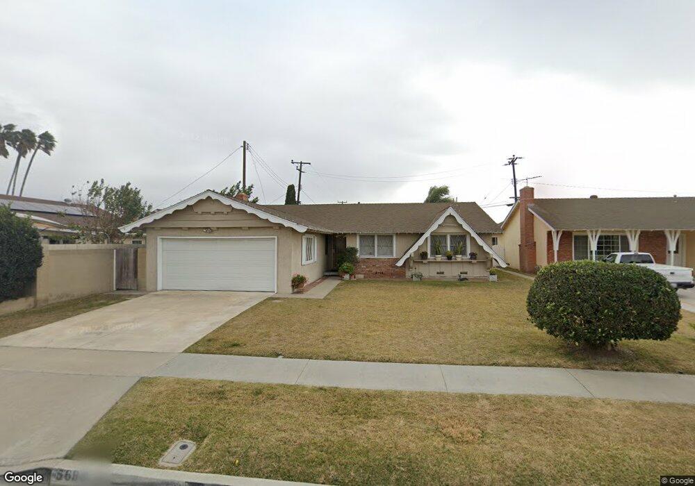
5682 Norma Dr Westminster, CA 92683
Estimated Value: $946,000 - $1,030,000
4
Beds
2
Baths
1,593
Sq Ft
$624/Sq Ft
Est. Value
About This Home
This home is located at 5682 Norma Dr, Westminster, CA 92683 and is currently estimated at $993,957, approximately $623 per square foot. 5682 Norma Dr is a home located in Orange County with nearby schools including Sequoia Elementary, Johnson Middle, and Westminster High School.
Ownership History
Date
Name
Owned For
Owner Type
Purchase Details
Closed on
Feb 25, 2021
Sold by
Moore Roy L and Moore Helen J
Bought by
Ferris & Moore Ii General Partnership
Current Estimated Value
Purchase Details
Closed on
Feb 27, 2019
Sold by
Moore Roy L
Bought by
Moore Roy L and Moore Helen J
Purchase Details
Closed on
May 20, 2003
Sold by
Ferris Harrison L and Ferris Patricia A
Bought by
Ferris Harrison L and Ferris Patricia A
Create a Home Valuation Report for This Property
The Home Valuation Report is an in-depth analysis detailing your home's value as well as a comparison with similar homes in the area
Home Values in the Area
Average Home Value in this Area
Purchase History
| Date | Buyer | Sale Price | Title Company |
|---|---|---|---|
| Ferris & Moore Ii General Partnership | -- | None Available | |
| Ferris & Moore Ii General Partnership | -- | None Available | |
| Marshall Cheryl M | -- | None Available | |
| Moore Roy L | -- | None Available | |
| Ferris Harrison L | -- | -- |
Source: Public Records
Tax History
| Year | Tax Paid | Tax Assessment Tax Assessment Total Assessment is a certain percentage of the fair market value that is determined by local assessors to be the total taxable value of land and additions on the property. | Land | Improvement |
|---|---|---|---|---|
| 2025 | $1,503 | $73,974 | $25,990 | $47,984 |
| 2024 | $1,503 | $72,524 | $25,480 | $47,044 |
| 2023 | $1,453 | $71,102 | $24,980 | $46,122 |
| 2022 | $1,423 | $825,000 | $735,386 | $89,614 |
| 2021 | $1,378 | $68,342 | $24,010 | $44,332 |
| 2020 | $1,365 | $67,642 | $23,764 | $43,878 |
| 2019 | $1,355 | $66,316 | $23,298 | $43,018 |
| 2018 | $1,352 | $65,016 | $22,841 | $42,175 |
| 2017 | $1,317 | $63,742 | $22,393 | $41,349 |
| 2016 | $1,290 | $62,493 | $21,954 | $40,539 |
| 2015 | $1,272 | $61,555 | $21,624 | $39,931 |
| 2014 | $1,249 | $60,350 | $21,201 | $39,149 |
Source: Public Records
Map
Nearby Homes
- 13352 Springdale St
- 5382 Laverne Cir
- 5302 Clark Cir
- 6122 Anthony Ave
- 6071 Modoc Rd
- 13731 Claremont St
- 6091 Navajo Rd
- 13036 Springarden Ln
- 13822 Marquette St
- 5332 Loyola Ave
- 6282 Cheyenne Dr
- 5566 Aldershot Walk
- 13981 Berkenham Walk
- 6216 Hefley St Unit 3
- 12586 George Reyburn Rd
- 5262 Christal Ave
- 12626 Tunstall St
- 5071 Cambridge Ave
- 6181 Lenore Ave
- 5212 Somerset St
Your Personal Tour Guide
Ask me questions while you tour the home.