5683 Paul Talbott Cir Grove City, OH 43123
Estimated Value: $347,000 - $398,000
3
Beds
3
Baths
1,837
Sq Ft
$205/Sq Ft
Est. Value
About This Home
This home is located at 5683 Paul Talbott Cir, Grove City, OH 43123 and is currently estimated at $377,349, approximately $205 per square foot. 5683 Paul Talbott Cir is a home located in Franklin County with nearby schools including Buckeye Woods Elementary School, Hayes Intermediate School, and Jackson Middle School.
Ownership History
Date
Name
Owned For
Owner Type
Purchase Details
Closed on
Mar 30, 2015
Sold by
Whipple Kelly J and Dodd Kelly J
Bought by
Hafey Dean and Dodd Kelly J
Current Estimated Value
Purchase Details
Closed on
Feb 11, 2005
Sold by
Whipple Scott E
Bought by
Whipple Kelly J and Dodd Kelly J
Purchase Details
Closed on
Jul 29, 2004
Sold by
Johnson Robert and Johnson Evelyn M
Bought by
Whipple Kelly J and Whipple Scott E
Purchase Details
Closed on
Oct 29, 2002
Sold by
Dominion Homes Inc
Bought by
Whipple Scott E and Whipple Kelly J
Home Financials for this Owner
Home Financials are based on the most recent Mortgage that was taken out on this home.
Original Mortgage
$197,493
Interest Rate
6.1%
Mortgage Type
FHA
Create a Home Valuation Report for This Property
The Home Valuation Report is an in-depth analysis detailing your home's value as well as a comparison with similar homes in the area
Home Values in the Area
Average Home Value in this Area
Purchase History
| Date | Buyer | Sale Price | Title Company |
|---|---|---|---|
| Hafey Dean | -- | None Available | |
| Whipple Kelly J | -- | -- | |
| Whipple Kelly J | -- | -- | |
| Whipple Scott E | $230,900 | Alliance Title |
Source: Public Records
Mortgage History
| Date | Status | Borrower | Loan Amount |
|---|---|---|---|
| Previous Owner | Whipple Scott E | $197,493 |
Source: Public Records
Tax History Compared to Growth
Tax History
| Year | Tax Paid | Tax Assessment Tax Assessment Total Assessment is a certain percentage of the fair market value that is determined by local assessors to be the total taxable value of land and additions on the property. | Land | Improvement |
|---|---|---|---|---|
| 2024 | $5,217 | $114,730 | $29,750 | $84,980 |
| 2023 | $5,144 | $114,730 | $29,750 | $84,980 |
| 2022 | $5,191 | $85,120 | $15,120 | $70,000 |
| 2021 | $5,291 | $85,120 | $15,120 | $70,000 |
| 2020 | $5,274 | $85,120 | $15,120 | $70,000 |
| 2019 | $4,743 | $71,020 | $12,600 | $58,420 |
| 2018 | $4,553 | $71,020 | $12,600 | $58,420 |
| 2017 | $4,708 | $71,020 | $12,600 | $58,420 |
| 2016 | $4,379 | $60,420 | $11,310 | $49,110 |
| 2015 | $4,381 | $60,420 | $11,310 | $49,110 |
| 2014 | $4,384 | $60,420 | $11,310 | $49,110 |
| 2013 | $1,970 | $57,540 | $10,780 | $46,760 |
Source: Public Records
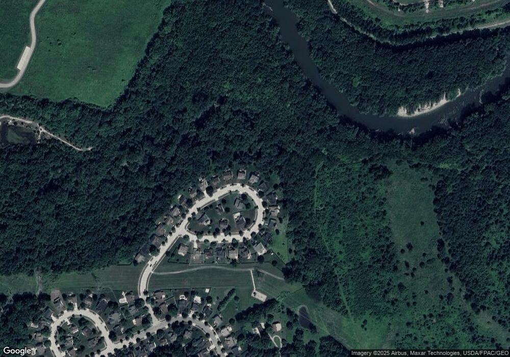
Map
Nearby Homes
- 695 Hennigans Grove Rd
- 463 Scioto Meadows Blvd
- 6060 Lavender Field
- 6013 Honey Farm Way
- 6033 Honey Farm Way
- 1100 Manorwood Trace
- 6014 Willow Aster Glen
- 1035 Bumblebee End St
- 6145 Honey Farm Way
- Rhodes Plan at Farmstead - Masterpiece Collection
- Winslow Plan at Farmstead - Masterpiece Collection
- Winston Plan at Farmstead - Designer Collection
- Jensen Plan at Farmstead - Maple Street Collection
- Yosemite Plan at Farmstead - Maple Street Collection
- Pearson Plan at Farmstead - Masterpiece Collection
- Beacon Plan at Farmstead - Maple Street Collection
- Denali Plan at Farmstead - Maple Street Collection
- Cumberland Plan at Farmstead - Maple Street Collection
- Wesley Plan at Farmstead - Maple Street Collection
- Stanton Plan at Farmstead - Masterpiece Collection
- 5693 Paul Talbott Cir
- 5673 Paul Talbott Cir
- 5703 Paul Talbott Cir
- 5663 Paul Talbott Cir
- 5688 Paul Talbott Cir
- 5713 Paul Talbott Cir
- 5653 Paul Talbott Cir
- 5628 Paul Talbott Cir
- 5628 Paul Talbott Cir Unit 95
- 5718 Paul Talbott Cir
- 5723 Paul Talbott Cir
- 5643 Paul Talbott Cir
- 5598 Paul Talbott Cir
- 5598 Paul Talbott Cir Unit 96
- 5733 Paul Talbott Cir
- 5748 Paul Talbott Cir
- 5633 Paul Talbott Cir
- 5613 Paul Talbott Cir
- 5743 Paul Talbott Cir
- 5623 Paul Talbott Cir