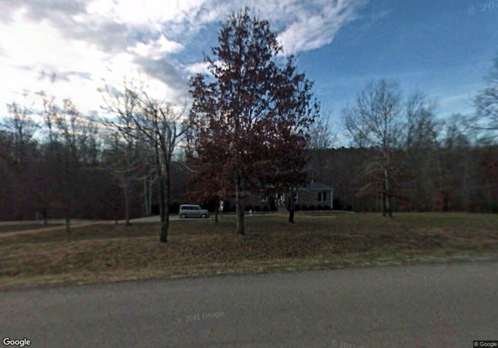
5683 Wilkins Branch Rd Franklin, TN 37064
Leiper's Fork NeighborhoodEstimated Value: $353,000 - $1,878,000
--
Bed
2
Baths
1,680
Sq Ft
$606/Sq Ft
Est. Value
About This Home
This home is located at 5683 Wilkins Branch Rd, Franklin, TN 37064 and is currently estimated at $1,018,542, approximately $606 per square foot. 5683 Wilkins Branch Rd is a home located in Williamson County with nearby schools including Hillsboro Elementary/Middle School.
Ownership History
Date
Name
Owned For
Owner Type
Purchase Details
Closed on
May 14, 2003
Sold by
Jackson Alice A
Bought by
Simonton Edward and Simonton Kendra
Current Estimated Value
Purchase Details
Closed on
Dec 3, 1997
Sold by
Preston Aubrey B
Bought by
King Joe W and King Joanne
Home Financials for this Owner
Home Financials are based on the most recent Mortgage that was taken out on this home.
Original Mortgage
$120,000
Interest Rate
7.38%
Mortgage Type
Construction
Create a Home Valuation Report for This Property
The Home Valuation Report is an in-depth analysis detailing your home's value as well as a comparison with similar homes in the area
Home Values in the Area
Average Home Value in this Area
Purchase History
| Date | Buyer | Sale Price | Title Company |
|---|---|---|---|
| Simonton Edward | $100,000 | Security Escrow & Title Co | |
| King Joe W | $32,499 | -- |
Source: Public Records
Mortgage History
| Date | Status | Borrower | Loan Amount |
|---|---|---|---|
| Previous Owner | King Joe W | $120,000 |
Source: Public Records
Tax History Compared to Growth
Tax History
| Year | Tax Paid | Tax Assessment Tax Assessment Total Assessment is a certain percentage of the fair market value that is determined by local assessors to be the total taxable value of land and additions on the property. | Land | Improvement |
|---|---|---|---|---|
| 2025 | $1,545 | $205,550 | $178,925 | $26,625 |
| 2024 | $1,545 | $82,175 | $59,650 | $22,525 |
| 2023 | $1,545 | $82,175 | $59,650 | $22,525 |
| 2022 | $1,545 | $82,175 | $59,650 | $22,525 |
| 2021 | $1,545 | $82,175 | $59,650 | $22,525 |
| 2020 | $1,459 | $65,725 | $44,175 | $21,550 |
| 2019 | $1,459 | $65,725 | $44,175 | $21,550 |
| 2018 | $1,413 | $65,725 | $44,175 | $21,550 |
| 2017 | $1,413 | $65,725 | $44,175 | $21,550 |
| 2016 | $1,413 | $65,725 | $44,175 | $21,550 |
| 2015 | -- | $51,350 | $33,975 | $17,375 |
| 2014 | -- | $51,350 | $33,975 | $17,375 |
Source: Public Records
Map
Nearby Homes
- 5580 Powell Sullivan Rd
- 0 Alex Ct
- 5551 Parker Branch Rd
- 5569 Parker Branch Rd
- 5515 Old Highway 96
- 5504 Parker Branch Rd
- 5610 Hargrove Rd
- 5584 Wilkins Branch Rd
- 5467 Pinewood Rd
- 5723 Quest Ridge Rd
- 5717 Quest Ridge Rd
- 5436 Parker Branch Rd
- 5362 Parker Branch Rd
- 5010 Chinkapin Ln
- 4308 Old Hillsboro Rd
- 0 Leipers Creek Rd Unit RTC2994999
- 5656 Walter King Rd
- 5518 Sycamore St
- 5284 Poor House Hollow Rd
- 5508 Sycamore St
- 6 Hargrove Rd
- 5680 Wilkins Branch Rd
- 5695 Wilkins Branch Rd
- 5671 Wilkins Branch Rd
- 5421 Hargrove Rd
- 5415 Hargrove Rd
- 5411 Hargrove Rd
- 5425 Hargrove Rd
- 5429 Hargrove Rd
- 5715 Wilkins Branch Rd
- 5665 Wilkins Branch Rd
- 5446 Hargrove Rd
- 5661 Wilkins Branch Rd
- 5724 Wilkins Branch Rd
- 5655 Wilkins Branch Rd
- 5660 Wilkins Branch Rd
- 5454 Hargrove Rd
- 5385 Hargrove Rd
- 5383 Hargrove Rd
- 5437 Hargrove Rd