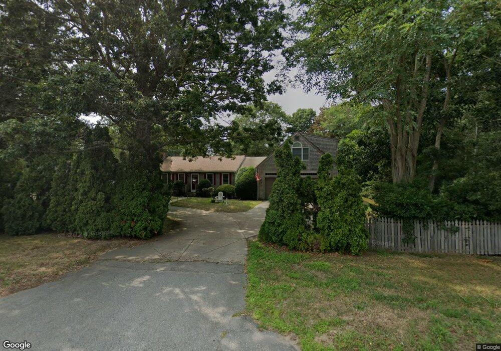
5685 State Hwy Eastham, MA 02642
Estimated Value: $702,000 - $842,000
2
Beds
2
Baths
1,201
Sq Ft
$633/Sq Ft
Est. Value
About This Home
This home is located at 5685 State Hwy, Eastham, MA 02642 and is currently estimated at $760,294, approximately $633 per square foot. 5685 State Hwy is a home located in Barnstable County with nearby schools including Eastham Elementary School, Nauset Regional Middle School, and Nauset Regional High School.
Ownership History
Date
Name
Owned For
Owner Type
Purchase Details
Closed on
Jul 14, 2017
Sold by
Ouellette Maureen F
Bought by
Lombard 4Th Charles
Current Estimated Value
Home Financials for this Owner
Home Financials are based on the most recent Mortgage that was taken out on this home.
Original Mortgage
$280,000
Outstanding Balance
$232,952
Interest Rate
3.94%
Mortgage Type
New Conventional
Estimated Equity
$527,342
Purchase Details
Closed on
Jan 30, 2003
Sold by
Radke Peter R
Bought by
Silva Annette L
Home Financials for this Owner
Home Financials are based on the most recent Mortgage that was taken out on this home.
Original Mortgage
$275,000
Interest Rate
6.09%
Mortgage Type
Purchase Money Mortgage
Create a Home Valuation Report for This Property
The Home Valuation Report is an in-depth analysis detailing your home's value as well as a comparison with similar homes in the area
Home Values in the Area
Average Home Value in this Area
Purchase History
| Date | Buyer | Sale Price | Title Company |
|---|---|---|---|
| Lombard 4Th Charles | $350,000 | -- | |
| Silva Annette L | $375,000 | -- |
Source: Public Records
Mortgage History
| Date | Status | Borrower | Loan Amount |
|---|---|---|---|
| Open | Lombard 4Th Charles | $280,000 | |
| Previous Owner | Silva Annette L | $275,000 | |
| Previous Owner | Silva Annette L | $100,000 | |
| Previous Owner | Silva Annette L | $100,000 |
Source: Public Records
Tax History Compared to Growth
Tax History
| Year | Tax Paid | Tax Assessment Tax Assessment Total Assessment is a certain percentage of the fair market value that is determined by local assessors to be the total taxable value of land and additions on the property. | Land | Improvement |
|---|---|---|---|---|
| 2025 | $4,516 | $585,700 | $158,100 | $427,600 |
| 2024 | $3,992 | $569,500 | $153,500 | $416,000 |
| 2023 | $3,710 | $512,400 | $142,100 | $370,300 |
| 2022 | $3,429 | $399,600 | $126,900 | $272,700 |
| 2021 | $3,355 | $365,500 | $115,400 | $250,100 |
| 2020 | $3,103 | $355,800 | $117,700 | $238,100 |
| 2019 | $2,855 | $346,100 | $114,300 | $231,800 |
| 2018 | $2,811 | $336,600 | $111,000 | $225,600 |
| 2017 | $2,628 | $332,600 | $108,800 | $223,800 |
| 2016 | $2,446 | $328,700 | $108,800 | $219,900 |
| 2015 | $2,295 | $323,300 | $106,700 | $216,600 |
Source: Public Records
Map
Nearby Homes
- 100 Gigi Ln
- 5470 State Hwy
- 140 Harvest Rd
- 49 Village Ln
- 95 Toland Dr
- 46 Spring Brook Rd
- 50 Silver Oak Rd
- 340 Salt Works Rd
- 35 Old County Rd Unit 1
- 35 Tracy Ln
- 90 Blue Heron Rd
- 10 Bradford Ln
- 100 Orchard Dr
- 255 Massasoit Rd
- 157 Brownell Rd
- 85 Huckleberry Ln
- 245 Nauset Light Beach Rd
- 135 Nauset Light Beach Rd
- 25 Forrest Ave
- 82 Old Orchard Rd