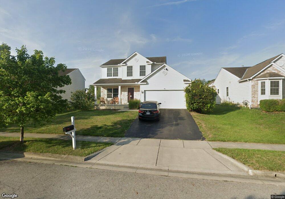
5685 Stevens Dr Unit 292 Orient, OH 43146
Estimated Value: $343,138 - $369,000
3
Beds
3
Baths
1,700
Sq Ft
$208/Sq Ft
Est. Value
About This Home
This home is located at 5685 Stevens Dr Unit 292, Orient, OH 43146 and is currently estimated at $353,035, approximately $207 per square foot. 5685 Stevens Dr Unit 292 is a home located in Pickaway County.
Ownership History
Date
Name
Owned For
Owner Type
Purchase Details
Closed on
May 13, 2009
Sold by
Dominion Homes Inc
Bought by
Arledge William E and Arledge Jamie N
Current Estimated Value
Home Financials for this Owner
Home Financials are based on the most recent Mortgage that was taken out on this home.
Original Mortgage
$156,149
Outstanding Balance
$98,924
Interest Rate
4.9%
Mortgage Type
FHA
Estimated Equity
$254,111
Purchase Details
Closed on
Jan 11, 2006
Sold by
George Terry E
Bought by
Dominion Homes Inc
Create a Home Valuation Report for This Property
The Home Valuation Report is an in-depth analysis detailing your home's value as well as a comparison with similar homes in the area
Home Values in the Area
Average Home Value in this Area
Purchase History
| Date | Buyer | Sale Price | Title Company |
|---|---|---|---|
| Arledge William E | $159,900 | Alliance Title | |
| Dominion Homes Inc | -- | None Available | |
| George Terry E | -- | None Available |
Source: Public Records
Mortgage History
| Date | Status | Borrower | Loan Amount |
|---|---|---|---|
| Open | Arledge William E | $156,149 |
Source: Public Records
Tax History
| Year | Tax Paid | Tax Assessment Tax Assessment Total Assessment is a certain percentage of the fair market value that is determined by local assessors to be the total taxable value of land and additions on the property. | Land | Improvement |
|---|---|---|---|---|
| 2024 | $5,331 | $103,290 | $11,180 | $92,110 |
| 2023 | $3,885 | $103,290 | $11,180 | $92,110 |
| 2022 | $2,889 | $70,560 | $9,320 | $61,240 |
| 2021 | $2,898 | $70,560 | $9,320 | $61,240 |
| 2020 | $2,898 | $70,560 | $9,320 | $61,240 |
| 2019 | $2,187 | $60,170 | $9,320 | $50,850 |
| 2018 | $2,345 | $60,170 | $9,320 | $50,850 |
| 2017 | $3,162 | $60,170 | $9,320 | $50,850 |
| 2016 | $1,827 | $45,600 | $9,230 | $36,370 |
| 2015 | $1,829 | $45,600 | $9,230 | $36,370 |
| 2014 | $1,831 | $45,600 | $9,230 | $36,370 |
| 2013 | $1,839 | $44,040 | $9,230 | $34,810 |
Source: Public Records
Map
Nearby Homes
- 5640 Freedom Run
- 9174 Constitution Ave
- 1520 Hiner Rd
- 302 Shady Hollow Dr
- 297 Mahogany Ln
- 1490 Hiner Rd
- 1470 Hiner Rd
- 1800 Lynnbrook Ct
- 1700 Harvey Ln Unit Lot 5
- 6444 Autumn Blaze
- 336 Cherry Hills Rd
- 326 Merion Dr
- 352 Oakmont Dr
- 2019 Parade of Homes | Evans Farm Central Plan at Plum Run Crossing
- Carroll Residence Plan at Plum Run Crossing
- Ferryman Residence Plan at Plum Run Crossing
- 2019 Parade of Homes | Evans Farm Plan at Plum Run Crossing
- Bennett Plan at Plum Run Crossing
- Scarlett Custom Plan A at Plum Run Crossing
- Erwine Residence Plan at Plum Run Crossing
- 5685 Stevens Dr
- 5695 Stevens Dr
- 5677 Stevens Dr
- 5705 Stevens Dr
- 5720 Hazelwood Ct
- 5675 Stevens Dr
- 5730 Hazelwood Ct
- 9325 Strawser St
- 5680 Stevens Dr
- 5680 Stevens Dr Unit 290
- 5715 Stevens Dr
- 5690 Stevens Dr
- 5670 Stevens Dr
- 5725 Hazelwood Ct
- 5740 Hazelwood Ct
- 9335 Strawser St
- 9335 Strawser St Unit 184
- 5700 Stevens Dr
- 5700 Stevens Dr Unit 288
- 5725 Stevens Dr
Your Personal Tour Guide
Ask me questions while you tour the home.