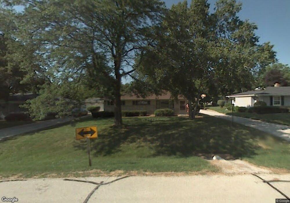
5686 W Range Ave Milwaukee, WI 53223
Estimated Value: $287,000 - $297,000
--
Bed
--
Bath
1,576
Sq Ft
$185/Sq Ft
Est. Value
About This Home
This home is located at 5686 W Range Ave, Milwaukee, WI 53223 and is currently estimated at $291,634, approximately $185 per square foot. 5686 W Range Ave is a home located in Milwaukee County with nearby schools including Brown Deer Elementary School, Brown Deer Middle/High School, and Institute of Technology and Academics.
Ownership History
Date
Name
Owned For
Owner Type
Purchase Details
Closed on
Dec 15, 1998
Sold by
Bainson Samuel E and Bainson Marcelle S
Bought by
Jaroczynski Jeffrey
Current Estimated Value
Home Financials for this Owner
Home Financials are based on the most recent Mortgage that was taken out on this home.
Original Mortgage
$83,000
Interest Rate
6.89%
Mortgage Type
Purchase Money Mortgage
Create a Home Valuation Report for This Property
The Home Valuation Report is an in-depth analysis detailing your home's value as well as a comparison with similar homes in the area
Home Values in the Area
Average Home Value in this Area
Purchase History
| Date | Buyer | Sale Price | Title Company |
|---|---|---|---|
| Jaroczynski Jeffrey | $124,000 | -- |
Source: Public Records
Mortgage History
| Date | Status | Borrower | Loan Amount |
|---|---|---|---|
| Previous Owner | Jaroczynski Jeffrey | $83,000 |
Source: Public Records
Tax History Compared to Growth
Tax History
| Year | Tax Paid | Tax Assessment Tax Assessment Total Assessment is a certain percentage of the fair market value that is determined by local assessors to be the total taxable value of land and additions on the property. | Land | Improvement |
|---|---|---|---|---|
| 2024 | $5,262 | $270,800 | $33,000 | $237,800 |
| 2023 | $5,262 | -- | -- | -- |
| 2022 | $5,262 | $242,000 | $33,000 | $209,000 |
| 2021 | $5,021 | $208,600 | $33,000 | $175,600 |
| 2020 | $4,782 | $183,800 | $33,000 | $150,800 |
| 2019 | $4,327 | $145,900 | $33,000 | $112,900 |
| 2018 | $4,906 | $145,900 | $33,000 | $112,900 |
| 2017 | $4,081 | $145,900 | $33,000 | $112,900 |
| 2016 | $4,187 | $145,900 | $33,000 | $112,900 |
| 2015 | $4,286 | $145,900 | $33,000 | $112,900 |
| 2014 | $4,254 | $145,700 | $42,500 | $103,200 |
| 2013 | $4,360 | $145,700 | $42,500 | $103,200 |
Source: Public Records
Map
Nearby Homes
- 5665 W Range Ave
- 5734 W Range Ave
- 5878 W Range Ave
- 5650 W Wahner Ave Unit 206
- 8608 N 53rd St
- 8707 N 52nd St
- 5400 W Dean Rd
- 8680 N 63rd St
- 8274 N 55th St
- 6206 W Fairlane Ave
- 6297 W Villa Ln
- 9150 N 60th St
- 8498 N 68th St
- 5045 W Elk Ct
- 8025 N 62nd St
- 6901 W Greenbrook Ct
- 8949 N Deerbrook Trail
- 9125 N Brandybrook Trail
- 5889 W Silverleaf Ln
- 6217 W Carolann Dr
- 5660 W Range Ave
- 5636 W Range Ave
- 8616 N 57th St
- 8617 N 57th St
- 8627 N 56th St
- 5760 W Range Ave
- 8606 N 57th St
- 5767 W Range Ave
- 5689 W Betty Ln
- 8607 N 57th St
- 5711 W Betty Ln
- 8617 N 56th St
- 5655 W Betty Ln
- 8647 N 56th St
- 8616 N 58th St
- 5735 W Betty Ln
- 5635 W Betty Ln
- 8607 N 56th St
- 8584 N 57th St
- 8585 N 57th St