5688 Krystal Ct Cincinnati, OH 45252
Estimated Value: $454,000 - $600,000
4
Beds
4
Baths
3,137
Sq Ft
$167/Sq Ft
Est. Value
About This Home
This home is located at 5688 Krystal Ct, Cincinnati, OH 45252 and is currently estimated at $523,795, approximately $166 per square foot. 5688 Krystal Ct is a home located in Hamilton County with nearby schools including Colerain Elementary School, Colerain Middle School, and Colerain High School.
Ownership History
Date
Name
Owned For
Owner Type
Purchase Details
Closed on
May 31, 2007
Sold by
Obrien James A and Obrien Joann C
Bought by
Hannon Thomas R and Hannon Jennifer G
Current Estimated Value
Home Financials for this Owner
Home Financials are based on the most recent Mortgage that was taken out on this home.
Original Mortgage
$85,500
Interest Rate
5.93%
Mortgage Type
Stand Alone Second
Purchase Details
Closed on
Apr 15, 1994
Sold by
Kirkpatrick Steven J and Kirkpatrick Debra K
Bought by
Obrien James A and Obrien Joann C
Create a Home Valuation Report for This Property
The Home Valuation Report is an in-depth analysis detailing your home's value as well as a comparison with similar homes in the area
Home Values in the Area
Average Home Value in this Area
Purchase History
| Date | Buyer | Sale Price | Title Company |
|---|---|---|---|
| Hannon Thomas R | $342,000 | Attorney | |
| Obrien James A | -- | -- |
Source: Public Records
Mortgage History
| Date | Status | Borrower | Loan Amount |
|---|---|---|---|
| Closed | Hannon Thomas R | $85,500 | |
| Open | Hannon Thomas R | $256,500 |
Source: Public Records
Tax History Compared to Growth
Tax History
| Year | Tax Paid | Tax Assessment Tax Assessment Total Assessment is a certain percentage of the fair market value that is determined by local assessors to be the total taxable value of land and additions on the property. | Land | Improvement |
|---|---|---|---|---|
| 2024 | $7,640 | $142,923 | $15,925 | $126,998 |
| 2023 | $7,682 | $142,923 | $15,925 | $126,998 |
| 2022 | $6,106 | $92,610 | $15,169 | $77,441 |
| 2021 | $6,057 | $92,610 | $15,169 | $77,441 |
| 2020 | $6,116 | $92,610 | $15,169 | $77,441 |
| 2019 | $6,550 | $92,610 | $15,169 | $77,441 |
| 2018 | $5,875 | $92,610 | $15,169 | $77,441 |
| 2017 | $5,568 | $92,610 | $15,169 | $77,441 |
| 2016 | $5,483 | $89,985 | $13,979 | $76,006 |
| 2015 | $5,534 | $89,985 | $13,979 | $76,006 |
| 2014 | $5,544 | $89,985 | $13,979 | $76,006 |
| 2013 | $5,552 | $94,721 | $14,714 | $80,007 |
Source: Public Records
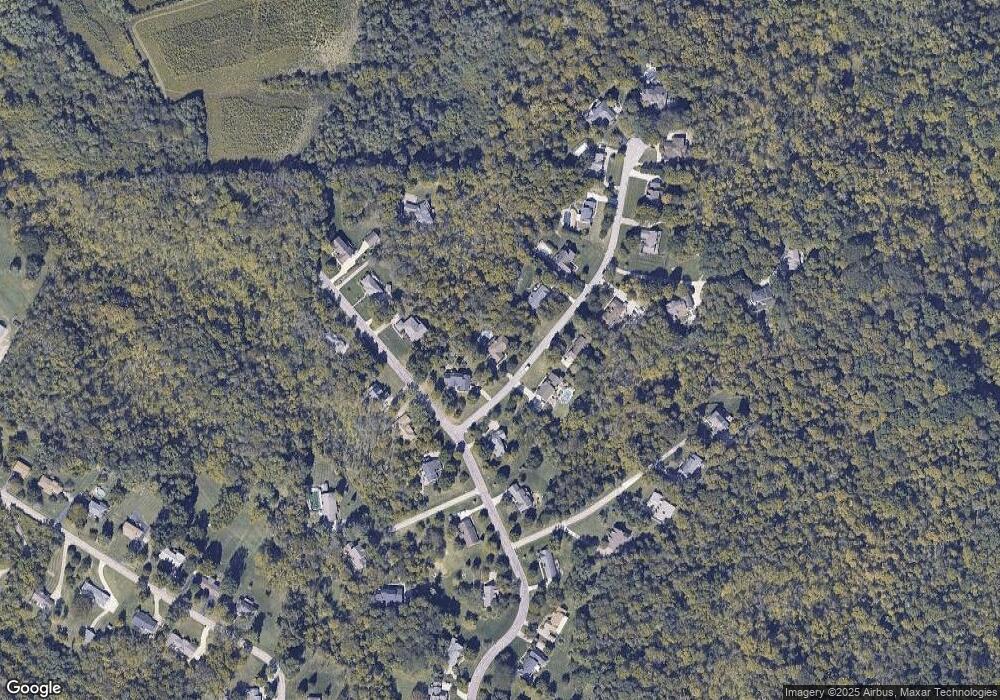
Map
Nearby Homes
- 5567 Day Rd
- 11115 Colerain Ave
- 6037 Dunlap Rd
- 5285 Yeatman Rd
- 10660 Colerain Ave
- 10232 Roppelt Rd
- 0 Miamitrail Ln Unit 1852362
- 10046 Brehm Rd
- 10034 Brehm Rd
- 11881 Stone Mill Rd
- 26 Rylan Dr
- 0 Stone Mill Rd Unit 1846428
- 1 Stone Mill Rd
- 10391 E Miami River Rd
- 11970 Stone Mill Rd
- 9897 Skyridge Dr
- 10054 Prechtel Rd
- 5077 Pebblevalley Dr
- 10263 Colerain Ave
- 6575 River Rd
- 5680 Krystal Ct
- 5696 Krystal Ct
- 10922 Kristiridge Dr
- 5689 Krystal Ct
- 5681 Krystal Ct
- 5672 Krystal Ct
- 10896 Kristiridge Dr
- 5673 Krystal Ct
- 10936 Kristiridge Dr
- 10919 Kristiridge Dr
- 10905 Kristiridge Dr
- 10940 Kristiridge Dr
- 5658 Krystal Ct
- 10933 Kristiridge Dr
- 10950 Kristiridge Dr
- 10891 Kristiridge Dr
- 10880 Kristiridge Dr
- 5661 Krystal Ct
- 5650 Krystal Ct
- 5667 Krystal Ct