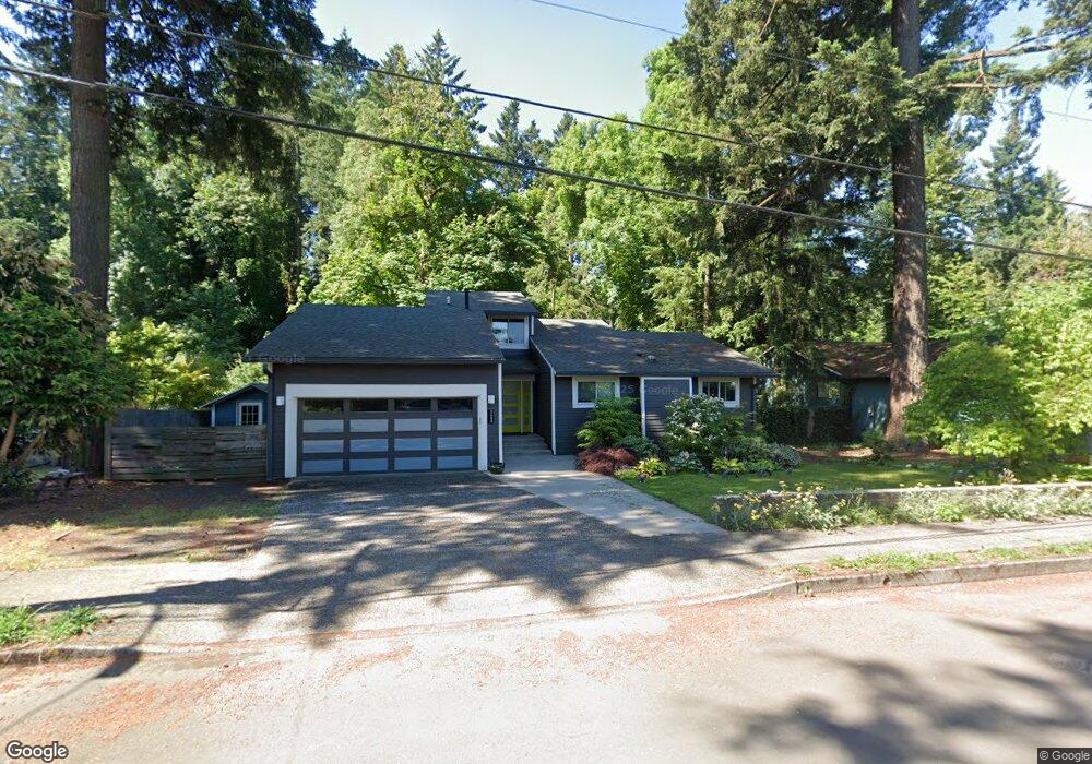
5688 River St West Linn, OR 97068
Bolton NeighborhoodEstimated Value: $614,123 - $675,000
3
Beds
2
Baths
1,559
Sq Ft
$422/Sq Ft
Est. Value
About This Home
This home is located at 5688 River St, West Linn, OR 97068 and is currently estimated at $657,531, approximately $421 per square foot. 5688 River St is a home located in Clackamas County with nearby schools including Bolton Primary School, West Linn High School, and Clackamas Academy of Industrial Sciences (CAIS).
Ownership History
Date
Name
Owned For
Owner Type
Purchase Details
Closed on
Dec 17, 2015
Sold by
Day Debra M
Bought by
Eraut Amy and Eraut David
Current Estimated Value
Home Financials for this Owner
Home Financials are based on the most recent Mortgage that was taken out on this home.
Original Mortgage
$267,600
Outstanding Balance
$110,518
Interest Rate
3.96%
Mortgage Type
New Conventional
Estimated Equity
$547,013
Create a Home Valuation Report for This Property
The Home Valuation Report is an in-depth analysis detailing your home's value as well as a comparison with similar homes in the area
Home Values in the Area
Average Home Value in this Area
Purchase History
| Date | Buyer | Sale Price | Title Company |
|---|---|---|---|
| Eraut Amy | $334,500 | Wfg Title |
Source: Public Records
Mortgage History
| Date | Status | Borrower | Loan Amount |
|---|---|---|---|
| Open | Eraut Amy | $267,600 |
Source: Public Records
Tax History Compared to Growth
Tax History
| Year | Tax Paid | Tax Assessment Tax Assessment Total Assessment is a certain percentage of the fair market value that is determined by local assessors to be the total taxable value of land and additions on the property. | Land | Improvement |
|---|---|---|---|---|
| 2025 | $6,331 | $328,511 | -- | -- |
| 2024 | $6,094 | $318,943 | -- | -- |
| 2023 | $6,094 | $309,654 | $0 | $0 |
| 2022 | $5,752 | $300,635 | $0 | $0 |
| 2021 | $5,460 | $291,879 | $0 | $0 |
| 2020 | $5,497 | $283,378 | $0 | $0 |
| 2019 | $5,242 | $275,125 | $0 | $0 |
| 2018 | $5,008 | $267,112 | $0 | $0 |
| 2017 | $4,814 | $259,332 | $0 | $0 |
| 2016 | $4,689 | $251,779 | $0 | $0 |
| 2015 | $4,437 | $244,446 | $0 | $0 |
| 2014 | $4,182 | $237,326 | $0 | $0 |
Source: Public Records
Map
Nearby Homes
- 5687 River St
- 5390 Grove St
- 5089 Territorial Dr
- 5910 W A St
- 1954 Buck St
- 909 Center St
- 19575 River Rd Unit 53
- 824 Center St
- 6345 Caufield St
- 6403 Tompkins Ct
- 4711 Alder St
- 709 10th St
- 5128 Firwood Dr
- 700 Barton Ave Unit 1
- 4645 Pine St
- 19503 SE Kay St
- 22691 Oregon City Loop
- 19697 SE Cottonwood St
- 812 Jefferson St
- 22881 Oregon City Loop