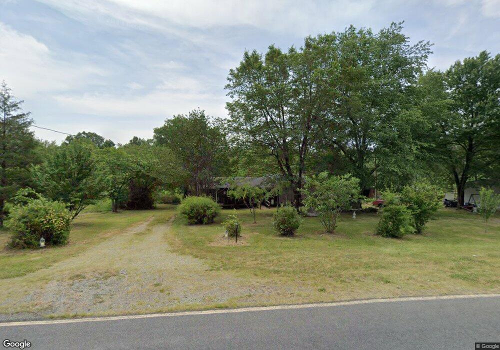
569 Frank Rd Denton, NC 27239
Estimated Value: $128,018 - $219,000
3
Beds
1
Bath
1,280
Sq Ft
$135/Sq Ft
Est. Value
About This Home
This home is located at 569 Frank Rd, Denton, NC 27239 and is currently estimated at $172,755, approximately $134 per square foot. 569 Frank Rd is a home located in Davidson County with nearby schools including Denton Elementary School and South Davidson Middle and High School.
Ownership History
Date
Name
Owned For
Owner Type
Purchase Details
Closed on
Jul 9, 2024
Sold by
Robbins Paul Davis
Bought by
Robbins Deborah Kay and Robbins Paul Davis
Current Estimated Value
Purchase Details
Closed on
May 21, 2004
Bought by
Robbins Paul Davis
Purchase Details
Closed on
Sep 1, 1985
Purchase Details
Closed on
Jan 1, 1983
Purchase Details
Closed on
Sep 1, 1977
Create a Home Valuation Report for This Property
The Home Valuation Report is an in-depth analysis detailing your home's value as well as a comparison with similar homes in the area
Home Values in the Area
Average Home Value in this Area
Purchase History
| Date | Buyer | Sale Price | Title Company |
|---|---|---|---|
| Robbins Deborah Kay | -- | None Listed On Document | |
| Robbins Deborah Kay | -- | None Listed On Document | |
| Robbins Paul Davis | -- | -- | |
| -- | $16,500 | -- | |
| -- | $14,000 | -- | |
| -- | $6,500 | -- |
Source: Public Records
Tax History Compared to Growth
Tax History
| Year | Tax Paid | Tax Assessment Tax Assessment Total Assessment is a certain percentage of the fair market value that is determined by local assessors to be the total taxable value of land and additions on the property. | Land | Improvement |
|---|---|---|---|---|
| 2025 | $542 | $82,140 | $0 | $0 |
| 2024 | $526 | $82,140 | $0 | $0 |
| 2023 | $534 | $82,140 | $0 | $0 |
| 2022 | $526 | $82,140 | $0 | $0 |
| 2021 | $526 | $82,140 | $0 | $0 |
| 2020 | $494 | $77,150 | $0 | $0 |
| 2019 | $501 | $77,150 | $0 | $0 |
| 2018 | $501 | $77,150 | $0 | $0 |
| 2017 | $501 | $77,150 | $0 | $0 |
| 2016 | $501 | $77,150 | $0 | $0 |
| 2015 | $501 | $77,150 | $0 | $0 |
| 2014 | $384 | $59,120 | $0 | $0 |
Source: Public Records
Map
Nearby Homes
- 0 Nc Highway 47
- 1715 Regan Rd
- 3010 Jerusalem Rd
- 2908 Tysinger Rd
- 00 E Old Us 64 Unit LotWP001
- 997 Yates Rd
- 301 Crouse Mountain Ln
- 339 Valley Dr
- 225 Cove Wood Dr
- 2410 Summerville Church Rd
- 343 Cove Wood Dr
- 146 Cove Wood Dr
- 462 Crystal Bay Dr
- 12274 E Old Us Highway 64
- 00 Garner Rd
- 0 Clara Hill Ln
- 2511 Cid Rd
- 167 Parks Meadows Dr
- 00 New Cut Rd
- 0 New Cut Rd