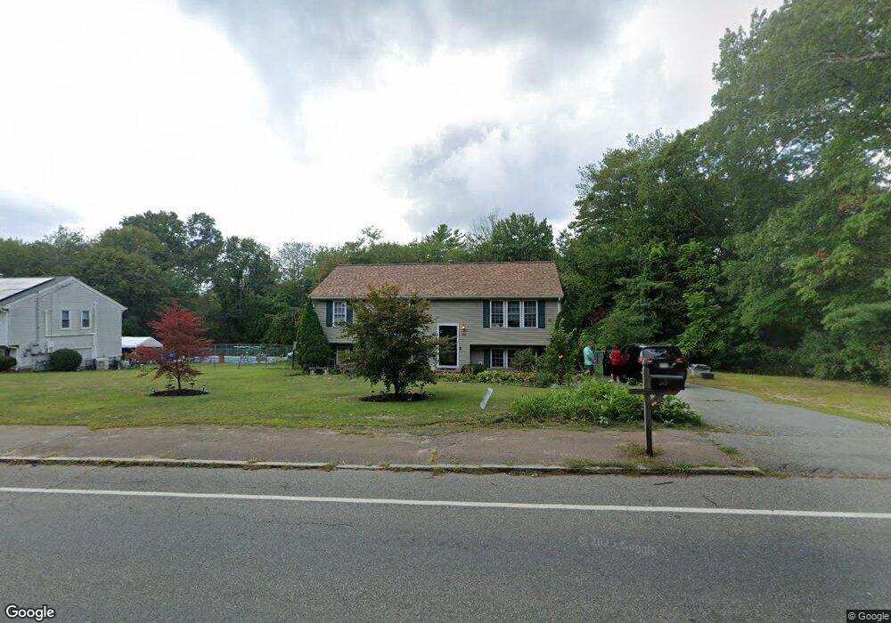
569 Franklin St Whitman, MA 02382
Estimated Value: $588,000 - $646,000
3
Beds
2
Baths
1,672
Sq Ft
$370/Sq Ft
Est. Value
About This Home
This home is located at 569 Franklin St, Whitman, MA 02382 and is currently estimated at $618,992, approximately $370 per square foot. 569 Franklin St is a home located in Plymouth County with nearby schools including St Bridget School.
Ownership History
Date
Name
Owned For
Owner Type
Purchase Details
Closed on
Oct 16, 2023
Sold by
Barradas Patricia A
Bought by
Patricia A Barradas Lt and Barradas
Current Estimated Value
Purchase Details
Closed on
Dec 27, 1996
Sold by
Ridder Farm Inc
Bought by
Bozoian Thomas H
Home Financials for this Owner
Home Financials are based on the most recent Mortgage that was taken out on this home.
Original Mortgage
$160,000
Interest Rate
7.55%
Mortgage Type
Purchase Money Mortgage
Create a Home Valuation Report for This Property
The Home Valuation Report is an in-depth analysis detailing your home's value as well as a comparison with similar homes in the area
Home Values in the Area
Average Home Value in this Area
Purchase History
| Date | Buyer | Sale Price | Title Company |
|---|---|---|---|
| Patricia A Barradas Lt | -- | None Available | |
| Bozoian Thomas H | $100,000 | -- |
Source: Public Records
Mortgage History
| Date | Status | Borrower | Loan Amount |
|---|---|---|---|
| Previous Owner | Bozoian Thomas H | $245,632 | |
| Previous Owner | Bozoian Thomas H | $115,700 | |
| Previous Owner | Bozoian Thomas H | $50,000 | |
| Previous Owner | Bozoian Thomas H | $160,000 |
Source: Public Records
Tax History Compared to Growth
Tax History
| Year | Tax Paid | Tax Assessment Tax Assessment Total Assessment is a certain percentage of the fair market value that is determined by local assessors to be the total taxable value of land and additions on the property. | Land | Improvement |
|---|---|---|---|---|
| 2025 | $6,933 | $528,400 | $223,300 | $305,100 |
| 2024 | $6,165 | $483,900 | $218,600 | $265,300 |
| 2023 | $5,676 | $418,300 | $190,400 | $227,900 |
| 2022 | $5,595 | $384,300 | $174,700 | $209,600 |
| 2021 | $5,710 | $368,400 | $154,400 | $214,000 |
| 2020 | $5,643 | $356,000 | $154,400 | $201,600 |
| 2019 | $5,411 | $351,800 | $154,400 | $197,400 |
| 2018 | $5,213 | $325,600 | $146,600 | $179,000 |
| 2017 | $4,910 | $325,600 | $146,600 | $179,000 |
| 2016 | $4,607 | $295,500 | $128,600 | $166,900 |
| 2015 | $4,479 | $286,900 | $128,600 | $158,300 |
Source: Public Records
Map
Nearby Homes
- 214 Winter St
- 35 Dana St
- 417 Birchbark Dr
- 131 Holly Ridge Dr
- 1057 Whitman St
- 22 Old Coach Rd
- 101 Washington St Unit 4
- 684 South Ave
- 126-130 Franklin St
- 842 Whitman St
- Plan B Northville Village Unit Plan B
- Unit 12 Northville Village Unit 12
- Unit 11 Northville Village Unit 11
- 23 Reed Place
- 20 Elm Place
- 26 Franklin St
- 48 Day St
- 159 Auburn St
- 154 Auburn St
- 33 Tavern Way
- 571 Franklin St
- 550 Franklin St
- 568 Franklin St
- 545 Franklin St Unit 1
- 545 Franklin St
- 534 Franklin St
- 573 Franklin St
- 524 Franklin St
- 579 Franklin St
- 514 Franklin St
- 0 Franklin St
- 493 Franklin St
- 583 Franklin St
- 105 Rowena Ave
- 504 Franklin St
- 115 Rowena Ave
- 97 Rowena Ave
- 595 Franklin St
- 483 Franklin St
- 83 Rowena Ave