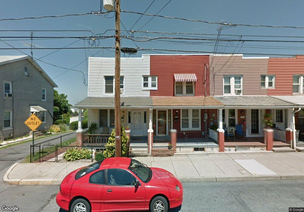
569 Furnace St Emmaus, PA 18049
Estimated Value: $202,000 - $230,886
2
Beds
2
Baths
1,110
Sq Ft
$195/Sq Ft
Est. Value
About This Home
This home is located at 569 Furnace St, Emmaus, PA 18049 and is currently estimated at $216,972, approximately $195 per square foot. 569 Furnace St is a home located in Lehigh County with nearby schools including Lincoln Elementary School, Lower Macungie Middle School, and Emmaus High School.
Ownership History
Date
Name
Owned For
Owner Type
Purchase Details
Closed on
Sep 28, 2023
Sold by
Landis Margaret V
Bought by
Lindley Shawd D
Current Estimated Value
Home Financials for this Owner
Home Financials are based on the most recent Mortgage that was taken out on this home.
Original Mortgage
$110,000
Outstanding Balance
$107,881
Interest Rate
7.23%
Mortgage Type
New Conventional
Estimated Equity
$109,091
Create a Home Valuation Report for This Property
The Home Valuation Report is an in-depth analysis detailing your home's value as well as a comparison with similar homes in the area
Home Values in the Area
Average Home Value in this Area
Purchase History
| Date | Buyer | Sale Price | Title Company |
|---|---|---|---|
| Lindley Shawd D | $180,000 | None Listed On Document |
Source: Public Records
Mortgage History
| Date | Status | Borrower | Loan Amount |
|---|---|---|---|
| Open | Lindley Shawd D | $110,000 |
Source: Public Records
Tax History Compared to Growth
Tax History
| Year | Tax Paid | Tax Assessment Tax Assessment Total Assessment is a certain percentage of the fair market value that is determined by local assessors to be the total taxable value of land and additions on the property. | Land | Improvement |
|---|---|---|---|---|
| 2025 | $3,033 | $86,100 | $7,400 | $78,700 |
| 2024 | $2,778 | $86,100 | $7,400 | $78,700 |
| 2023 | $2,724 | $86,100 | $7,400 | $78,700 |
| 2022 | $2,634 | $86,100 | $78,700 | $7,400 |
| 2021 | $2,568 | $86,100 | $7,400 | $78,700 |
| 2020 | $2,546 | $86,100 | $7,400 | $78,700 |
| 2019 | $4,092 | $86,100 | $7,400 | $78,700 |
| 2018 | $2,385 | $86,100 | $7,400 | $78,700 |
| 2017 | $2,311 | $86,100 | $7,400 | $78,700 |
| 2016 | -- | $86,100 | $7,400 | $78,700 |
| 2015 | -- | $86,100 | $7,400 | $78,700 |
| 2014 | -- | $86,100 | $7,400 | $78,700 |
Source: Public Records
Map
Nearby Homes
- 521 Wood St
- 618 Broad St
- 659 Broad St
- 569 Chestnut St Unit 571
- 657 Walnut St
- 543 Long St
- 120 N 2nd St
- 118 N 2nd St
- 339 Delong Ave Unit 343
- 97 Chestnut Hill Rd
- 4109 Eveningstar Rd
- 3430 Gentlewind Way Unit IC 109
- 101 E George St
- 4088 Eveningstar Rd
- 558 Beechwood St
- 3623 Daylily Dr
- 2571 Brunner Rd
- 340 Chestnut Hill Rd
- 3810 Allen St
- 3601 Country Club Rd
- 565 Furnace St
- 571 Furnace St
- 567 Furnace St
- 563 Furnace St
- 573 Furnace St
- 561 Furnace St
- 575 Furnace St
- 577 Furnace St
- 547 Furnace St
- 545 Furnace St
- 579 Furnace St
- 562 Furnace St
- 576 Furnace St
- 560 Furnace St
- 558 Furnace St
- 541 Furnace St
- 544 Furnace St Unit 550
- 539 Furnace St Unit REAR
- 539 Furnace St Unit 2
- 539 Furnace St