569 Mccarty Dr Furlong, PA 18925
Estimated Value: $560,000 - $737,000
4
Beds
3
Baths
2,100
Sq Ft
$301/Sq Ft
Est. Value
About This Home
This home is located at 569 Mccarty Dr, Furlong, PA 18925 and is currently estimated at $632,582, approximately $301 per square foot. 569 Mccarty Dr is a home located in Bucks County with nearby schools including Bridge Valley Elementary School, Lenape Middle School, and Central Bucks High School-West.
Ownership History
Date
Name
Owned For
Owner Type
Purchase Details
Closed on
Jun 21, 2019
Sold by
Bauman Keith W
Bought by
Kilkenny Timothy and Kilkenny Linda
Current Estimated Value
Home Financials for this Owner
Home Financials are based on the most recent Mortgage that was taken out on this home.
Original Mortgage
$335,000
Outstanding Balance
$141,914
Interest Rate
4.1%
Mortgage Type
Purchase Money Mortgage
Estimated Equity
$490,668
Purchase Details
Closed on
Dec 8, 1987
Sold by
Chamberlain Iii Oliver Jesse and Chamberlain Mary L
Bought by
Bauman Keith W
Create a Home Valuation Report for This Property
The Home Valuation Report is an in-depth analysis detailing your home's value as well as a comparison with similar homes in the area
Home Values in the Area
Average Home Value in this Area
Purchase History
| Date | Buyer | Sale Price | Title Company |
|---|---|---|---|
| Kilkenny Timothy | $335,000 | None Available | |
| Bauman Keith W | $165,000 | -- |
Source: Public Records
Mortgage History
| Date | Status | Borrower | Loan Amount |
|---|---|---|---|
| Open | Kilkenny Timothy | $335,000 |
Source: Public Records
Tax History Compared to Growth
Tax History
| Year | Tax Paid | Tax Assessment Tax Assessment Total Assessment is a certain percentage of the fair market value that is determined by local assessors to be the total taxable value of land and additions on the property. | Land | Improvement |
|---|---|---|---|---|
| 2025 | $5,875 | $33,200 | $7,760 | $25,440 |
| 2024 | $5,875 | $33,200 | $7,760 | $25,440 |
| 2023 | $5,602 | $33,200 | $7,760 | $25,440 |
| 2022 | $5,540 | $33,200 | $7,760 | $25,440 |
| 2021 | $5,426 | $33,200 | $7,760 | $25,440 |
| 2020 | $5,401 | $33,200 | $7,760 | $25,440 |
| 2019 | $5,343 | $33,200 | $7,760 | $25,440 |
| 2018 | $5,326 | $33,200 | $7,760 | $25,440 |
| 2017 | $5,285 | $33,200 | $7,760 | $25,440 |
| 2016 | $5,251 | $33,200 | $7,760 | $25,440 |
| 2015 | -- | $33,200 | $7,760 | $25,440 |
| 2014 | -- | $33,200 | $7,760 | $25,440 |
Source: Public Records
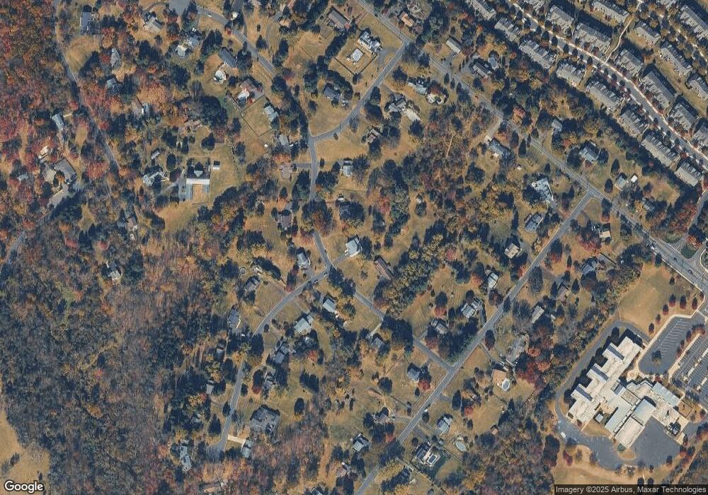
Map
Nearby Homes
- 547 Mccarty Dr
- 2443 Sugar Bottom Rd
- 2372 Dorchester St W Unit W
- 3017 Dorchester St E Unit 125
- 3060 Cloverly Dr
- 1249 Pebble Hill Rd
- 106 Saddle Dr
- 21 Shady Springs Dr
- 108 Eagle Ct Unit 105
- 1834 Augusta Dr
- 45 Bedford Ave
- 2080 Bedfordshire Rd
- 2209 Swamp Rd
- 152 Watercrest Dr
- 137 Pebble Woods Dri Pebble Woods Dr
- 223 Cherry Ln
- 150 Watercrest Dr
- 0 Old York Rd Unit PABU2103356
- 125 Edison Furlong Rd
- 000 Cherry Ln
- 568 Mccarty Dr
- 570 Mccarty Dr
- 567 Mccarty Dr
- 567 Foy Dr
- 544 Mccarty Dr
- 545 Mccarty Dr
- 546 Mccarty Dr
- 533 Norris Dr
- 566 Foy Dr
- 531 Mccarty Dr
- 506 Mccarty Dr
- 504 Saint Lawrence Way
- 565 Foy Dr
- 505 Saint Lawrence Way
- 534 Norris Dr
- 530 Mccarty Dr
- 562 Foy Dr
- 543 Norris Dr
- 502 Saint Lawrence Way
- 543A Norris Dr