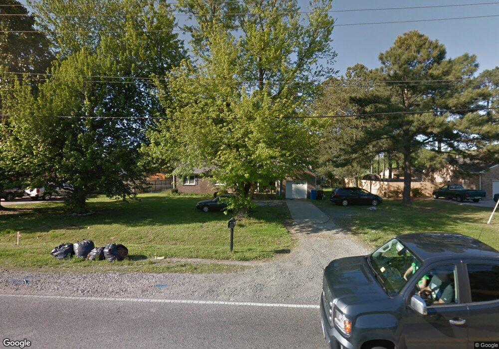
569 Mt Pleasant Rd Chesapeake, VA 23322
Pleasant Grove West NeighborhoodEstimated Value: $377,000 - $408,000
3
Beds
2
Baths
1,440
Sq Ft
$272/Sq Ft
Est. Value
About This Home
This home is located at 569 Mt Pleasant Rd, Chesapeake, VA 23322 and is currently estimated at $391,709, approximately $272 per square foot. 569 Mt Pleasant Rd is a home located in Chesapeake City with nearby schools including Butts Road Primary School, Butts Road Intermediate School, and Great Bridge Middle School.
Ownership History
Date
Name
Owned For
Owner Type
Purchase Details
Closed on
Nov 20, 2009
Sold by
Dowdy Eleanor P
Bought by
Mcaloon Scot N
Current Estimated Value
Home Financials for this Owner
Home Financials are based on the most recent Mortgage that was taken out on this home.
Original Mortgage
$151,607
Outstanding Balance
$99,044
Interest Rate
5.01%
Mortgage Type
FHA
Estimated Equity
$292,665
Create a Home Valuation Report for This Property
The Home Valuation Report is an in-depth analysis detailing your home's value as well as a comparison with similar homes in the area
Home Values in the Area
Average Home Value in this Area
Purchase History
| Date | Buyer | Sale Price | Title Company |
|---|---|---|---|
| Mcaloon Scot N | $199,000 | -- |
Source: Public Records
Mortgage History
| Date | Status | Borrower | Loan Amount |
|---|---|---|---|
| Open | Mcaloon Scot N | $151,607 |
Source: Public Records
Tax History Compared to Growth
Tax History
| Year | Tax Paid | Tax Assessment Tax Assessment Total Assessment is a certain percentage of the fair market value that is determined by local assessors to be the total taxable value of land and additions on the property. | Land | Improvement |
|---|---|---|---|---|
| 2025 | $3,306 | $343,300 | $170,000 | $173,300 |
| 2024 | $3,306 | $327,300 | $170,000 | $157,300 |
| 2023 | $3,108 | $307,700 | $160,000 | $147,700 |
| 2022 | $2,688 | $266,100 | $128,300 | $137,800 |
| 2021 | $2,457 | $234,000 | $110,000 | $124,000 |
| 2020 | $2,353 | $224,100 | $105,000 | $119,100 |
| 2019 | $2,353 | $224,100 | $105,000 | $119,100 |
| 2018 | $2,404 | $229,000 | $105,000 | $124,000 |
| 2017 | $2,528 | $240,800 | $114,000 | $126,800 |
| 2016 | $2,429 | $231,300 | $104,500 | $126,800 |
| 2015 | $2,378 | $226,500 | $95,000 | $131,500 |
| 2014 | $2,378 | $226,500 | $95,000 | $131,500 |
Source: Public Records
Map
Nearby Homes
- 532 Mount Pleasant Rd
- 533 Beauregard Dr
- 501 Summit Ridge Dr
- 516 Youngstown Ct
- 1000 Joan Ct
- 911 Mount Pleasant Rd
- 917 Mount Pleasant Rd
- 904 Billy O'Brien Ln
- 345 Ewell Ln
- 343 Ewell Ln
- 808 Loblolly Ct
- 733 Hawkhurst Dr
- 113 Golden Maple Dr
- 151 Downing Dr
- 101 Stadium Dr
- 1012 Pernell Ln
- 968 Intracoastal Way
- SUMMIT Plan at Riverview Landing
- HADLEY Plan at Riverview Landing
- DENTON Plan at Riverview Landing
- 569 Mount Pleasant Rd
- 565 Mount Pleasant Rd
- 565 Mt Pleasant Rd
- 573 Mount Pleasant Rd
- 573 Mt Pleasant Rd
- 558 Summit Ridge Dr
- 556 Summit Ridge Dr
- 561 Mt Pleasant Rd
- 561 Mount Pleasant Rd
- 577 Mt Pleasant Rd
- 552 Mount Pleasant Rd
- 577 Mount Pleasant Rd
- 552 Mt Pleasant Rd
- 556 Mt Pleasant Rd
- 560 Summit Ridge Dr
- 552 Summit Ridge Dr
- 556 Mount Pleasant Rd
- 548 Mount Pleasant Rd
- 548 Mt Pleasant Rd
- 557 Summit Ridge Dr