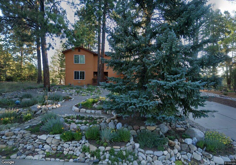
569 Oak Dr Durango, CO 81301
Durango West NeighborhoodEstimated Value: $762,025 - $895,000
3
Beds
2
Baths
2,164
Sq Ft
$390/Sq Ft
Est. Value
About This Home
This home is located at 569 Oak Dr, Durango, CO 81301 and is currently estimated at $844,006, approximately $390 per square foot. 569 Oak Dr is a home located in La Plata County with nearby schools including Park Elementary School, Escalante Middle School, and Durango High School.
Ownership History
Date
Name
Owned For
Owner Type
Purchase Details
Closed on
Jun 29, 2007
Sold by
Shook Jon D and Shook Sharon K
Bought by
Ostendorp Jan Peter and Ostendorp Susan Marie
Current Estimated Value
Home Financials for this Owner
Home Financials are based on the most recent Mortgage that was taken out on this home.
Original Mortgage
$154,000
Interest Rate
6.13%
Mortgage Type
Purchase Money Mortgage
Purchase Details
Closed on
May 4, 2007
Sold by
Shook Jon D
Bought by
Shook Jon D and Shook Sharon K
Home Financials for this Owner
Home Financials are based on the most recent Mortgage that was taken out on this home.
Original Mortgage
$154,000
Interest Rate
6.13%
Mortgage Type
Purchase Money Mortgage
Purchase Details
Closed on
Mar 18, 2002
Bought by
Ostendorp Jan Peter and Ostendorp Susan Marie
Create a Home Valuation Report for This Property
The Home Valuation Report is an in-depth analysis detailing your home's value as well as a comparison with similar homes in the area
Home Values in the Area
Average Home Value in this Area
Purchase History
| Date | Buyer | Sale Price | Title Company |
|---|---|---|---|
| Ostendorp Jan Peter | $495,000 | Land Title | |
| Shook Jon D | -- | Land Title | |
| Ostendorp Jan Peter | $267,500 | -- |
Source: Public Records
Mortgage History
| Date | Status | Borrower | Loan Amount |
|---|---|---|---|
| Previous Owner | Shook Jon D | $154,000 |
Source: Public Records
Tax History
| Year | Tax Paid | Tax Assessment Tax Assessment Total Assessment is a certain percentage of the fair market value that is determined by local assessors to be the total taxable value of land and additions on the property. | Land | Improvement |
|---|---|---|---|---|
| 2025 | $1,263 | $45,660 | $12,780 | $32,880 |
| 2024 | $1,081 | $32,450 | $9,940 | $22,510 |
| 2023 | $1,081 | $36,140 | $11,070 | $25,070 |
| 2022 | $1,004 | $37,480 | $11,480 | $26,000 |
| 2021 | $1,009 | $31,480 | $11,210 | $20,270 |
| 2020 | $961 | $31,030 | $10,410 | $20,620 |
| 2019 | $0 | $31,030 | $10,410 | $20,620 |
| 2018 | $1,118 | $29,010 | $10,480 | $18,530 |
| 2017 | $1,094 | $29,010 | $10,480 | $18,530 |
| 2016 | $1,069 | $30,720 | $11,590 | $19,130 |
| 2015 | $1,006 | $30,720 | $11,590 | $19,130 |
| 2014 | -- | $27,630 | $11,590 | $16,040 |
| 2013 | -- | $27,630 | $11,590 | $16,040 |
Source: Public Records
Map
Nearby Homes
- 209 Fir Dr
- 23 Hunter Ct
- 841 Oak Dr
- 178 Oak Dr
- 136 Oak Dr
- 719 Terlun Dr
- 678 N Lakeside Dr
- 199 Timber Dr
- 40 Hidden Ln
- 31 Wood Haven Way
- 173 Canyon Creek Trail
- 178 Canyon Creek Trail
- 351 Cherry Gulch Rd
- TBD Vaquero Way
- 269 North Rd
- 307 Deer Trail Rd
- 17235 Hwy 160
- 717 Zane Dr
- 51 Shenandoah Cir
- 1172 Ridge Rd
Your Personal Tour Guide
Ask me questions while you tour the home.