569 River Trail Martin, GA 30557
Estimated Value: $498,000 - $693,000
3
Beds
2
Baths
1,990
Sq Ft
$298/Sq Ft
Est. Value
About This Home
This home is located at 569 River Trail, Martin, GA 30557 and is currently estimated at $592,447, approximately $297 per square foot. 569 River Trail is a home located in Stephens County with nearby schools including Stephens County High School.
Ownership History
Date
Name
Owned For
Owner Type
Purchase Details
Closed on
Mar 2, 2006
Sold by
Knight James D
Bought by
Denning James W and Denning Diane L
Current Estimated Value
Home Financials for this Owner
Home Financials are based on the most recent Mortgage that was taken out on this home.
Original Mortgage
$258,000
Interest Rate
6.19%
Mortgage Type
New Conventional
Purchase Details
Closed on
Jul 17, 2000
Bought by
<Buyer Info Not Present>
Purchase Details
Closed on
Aug 1, 1987
Bought by
<Buyer Info Not Present>
Create a Home Valuation Report for This Property
The Home Valuation Report is an in-depth analysis detailing your home's value as well as a comparison with similar homes in the area
Home Values in the Area
Average Home Value in this Area
Purchase History
| Date | Buyer | Sale Price | Title Company |
|---|---|---|---|
| Denning James W | $65,000 | -- | |
| <Buyer Info Not Present> | $26,000 | -- | |
| <Buyer Info Not Present> | $8,000 | -- |
Source: Public Records
Mortgage History
| Date | Status | Borrower | Loan Amount |
|---|---|---|---|
| Closed | Denning James W | $258,000 |
Source: Public Records
Tax History Compared to Growth
Tax History
| Year | Tax Paid | Tax Assessment Tax Assessment Total Assessment is a certain percentage of the fair market value that is determined by local assessors to be the total taxable value of land and additions on the property. | Land | Improvement |
|---|---|---|---|---|
| 2025 | $2,719 | $155,722 | $27,066 | $128,656 |
| 2024 | $2,377 | $113,126 | $27,066 | $86,060 |
| 2023 | $2,152 | $107,167 | $27,066 | $80,101 |
| 2022 | $2,026 | $102,956 | $27,066 | $75,890 |
| 2021 | $1,970 | $97,899 | $27,066 | $70,833 |
| 2020 | $1,990 | $97,894 | $27,066 | $70,828 |
| 2019 | $2,008 | $98,192 | $27,364 | $70,828 |
| 2018 | $2,007 | $98,175 | $27,364 | $70,811 |
| 2017 | $2,040 | $98,172 | $27,364 | $70,808 |
| 2016 | $2,013 | $98,172 | $27,364 | $70,808 |
| 2015 | $2,032 | $95,882 | $27,364 | $68,517 |
| 2014 | $3,237 | $95,882 | $27,364 | $68,518 |
| 2013 | -- | $91,084 | $27,364 | $63,720 |
Source: Public Records
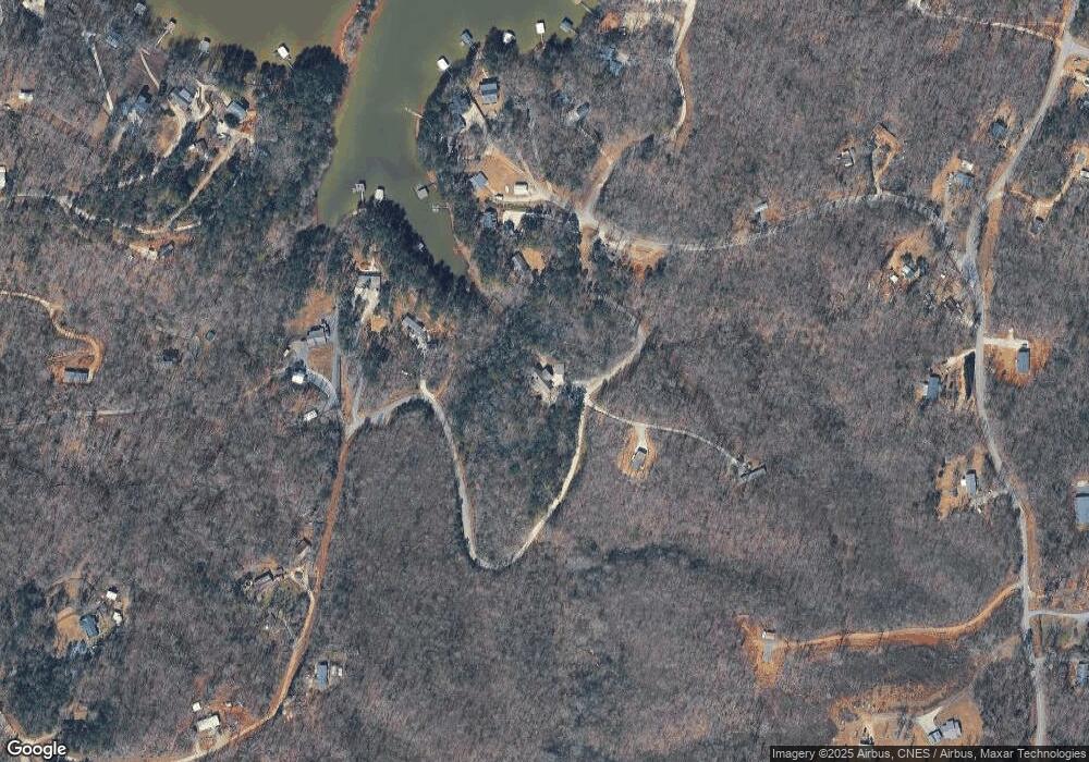
Map
Nearby Homes
- 347 River Trail
- 679 Suttles Rd
- 245 Currahee Place
- 0 Cheyenne Trail Unit 10633853
- 173 Laura Dr
- 88 Currahee Place
- 455 Chase Landing Rd
- 49 Currahee Point
- 287 Spring Branch Cir
- 114 Aaron Dr
- 604 Mckinney Way
- TRACT 2 Deans Point
- 53 Raven Ct
- 00 N Shores Dr
- 38,39,40 N Shores Dr
- 152 Chapman Manor Dr
- 23 Wren Ct
- 177 E Silver Shoals Rd
- LOTS 1 & 2 Twin Knolls Trail
- 120 Ridgemore Cir
- 699 River Trail
- 592 River Trail
- 713 River Trail
- 207 River Point Rd
- Lot 14 S South River Trail S
- Lot 16 River Trail
- Lot 15 River Trail
- lot 14 River Trail
- S River Trail Unit LOT 16
- S River Trail Unit LOT 15
- S River Trail Unit LOT 14
- 13 & 13A River Trail
- 014 River Trail Unit Lot 14
- 016 River Trail Unit Lot 16
- 016 River Trail
- 014 River Trail
- S River Trail
- 4 River Ridge Rd Unit 20-21
- 15 River Trail
- 16 River Trail