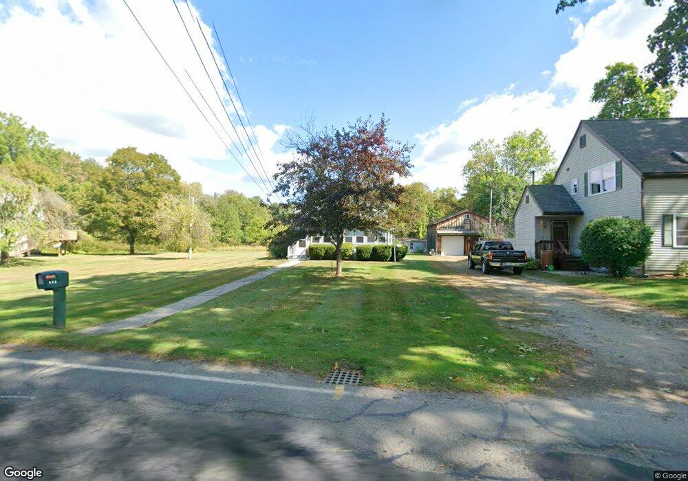
569 Riverside Dr Florence, MA 01062
Florence NeighborhoodEstimated Value: $391,000 - $528,000
3
Beds
1
Bath
1,340
Sq Ft
$341/Sq Ft
Est. Value
About This Home
This home is located at 569 Riverside Dr, Florence, MA 01062 and is currently estimated at $457,453, approximately $341 per square foot. 569 Riverside Dr is a home located in Hampshire County with nearby schools including Northampton High School, The Montessori School of Northampton, and Campus School of Smith College.
Ownership History
Date
Name
Owned For
Owner Type
Purchase Details
Closed on
Sep 12, 2017
Sold by
Sawicki Nancy S
Bought by
Holman Joann A and Sawicki Ellen N
Current Estimated Value
Purchase Details
Closed on
Mar 25, 2010
Sold by
Sawicki Nancy S
Bought by
Sawicki Stanley J and Sawicki Heidi S
Create a Home Valuation Report for This Property
The Home Valuation Report is an in-depth analysis detailing your home's value as well as a comparison with similar homes in the area
Home Values in the Area
Average Home Value in this Area
Purchase History
| Date | Buyer | Sale Price | Title Company |
|---|---|---|---|
| Holman Joann A | -- | -- | |
| Sawicki Stanley J | -- | -- |
Source: Public Records
Tax History
| Year | Tax Paid | Tax Assessment Tax Assessment Total Assessment is a certain percentage of the fair market value that is determined by local assessors to be the total taxable value of land and additions on the property. | Land | Improvement |
|---|---|---|---|---|
| 2025 | $4,924 | $353,500 | $141,500 | $212,000 |
| 2024 | $4,944 | $325,500 | $141,500 | $184,000 |
| 2023 | $4,898 | $309,200 | $128,200 | $181,000 |
| 2022 | $4,415 | $246,800 | $128,200 | $118,600 |
| 2021 | $4,035 | $232,300 | $123,000 | $109,300 |
| 2020 | $3,903 | $232,300 | $123,000 | $109,300 |
| 2019 | $3,933 | $226,400 | $123,000 | $103,400 |
| 2018 | $4,107 | $241,000 | $123,000 | $118,000 |
| 2017 | $4,022 | $241,000 | $123,000 | $118,000 |
| 2016 | $3,895 | $241,000 | $123,000 | $118,000 |
| 2015 | $3,795 | $240,200 | $123,000 | $117,200 |
| 2014 | $3,697 | $240,200 | $123,000 | $117,200 |
Source: Public Records
Map
Nearby Homes
- 37 Landy Ave
- 76 Maple St
- 67 Park St Unit A
- 42 Clark St
- 44 Sheffield Ln
- 63 Riverside Dr
- 575 Bridge Rd Unit 12-7
- 575 Bridge Rd Unit 10-5
- 0 Terrace Ln
- 296 Ryan Rd Unit A
- 296 Ryan Rd
- 296 Ryan Rd Unit B
- 61 Woodlawn Ave
- 2 Juniper Place
- 635 Florence Rd
- 61 Harrison Ave
- 815 Burts Pit Rd
- 218 Elm St
- 697 Florence Rd
- 23 Ford Crossing
- 565 Riverside Dr
- 579 Riverside Dr
- 557 Riverside Dr
- 557 Riverside Dr Unit 1060
- 591 Riverside Dr
- 589 Riverside Dr
- 597 Riverside Dr
- 545 Riverside Dr
- 543 Riverside Dr
- 54 Landy Ave
- 54A Landy Ave
- 44 Landy Ave
- 541 Riverside Dr
- 611 Riverside Dr
- 40 Landy Ave
- 615 Riverside Dr
- 619 Riverside Dr
- 620 Riverside Dr
- 39 Landy Ave
- 517 Riverside Dr
Your Personal Tour Guide
Ask me questions while you tour the home.