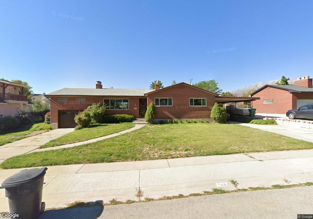
569 Sagewood Ave Provo, UT 84604
Rock Canyon NeighborhoodEstimated Value: $688,086 - $765,000
5
Beds
3
Baths
3,152
Sq Ft
$229/Sq Ft
Est. Value
About This Home
This home is located at 569 Sagewood Ave, Provo, UT 84604 and is currently estimated at $720,362, approximately $228 per square foot. 569 Sagewood Ave is a home located in Utah County with nearby schools including Rock Canyon Elementary School, Centennial Middle School, and Timpview High School.
Ownership History
Date
Name
Owned For
Owner Type
Purchase Details
Closed on
Nov 12, 2021
Sold by
Roundy Robin O
Bought by
Roundy Family Trust
Current Estimated Value
Purchase Details
Closed on
Aug 27, 2010
Sold by
Roundy Robin O
Bought by
Roundy Robin O and Roundy Berta
Home Financials for this Owner
Home Financials are based on the most recent Mortgage that was taken out on this home.
Original Mortgage
$196,000
Interest Rate
4.52%
Mortgage Type
New Conventional
Create a Home Valuation Report for This Property
The Home Valuation Report is an in-depth analysis detailing your home's value as well as a comparison with similar homes in the area
Home Values in the Area
Average Home Value in this Area
Purchase History
| Date | Buyer | Sale Price | Title Company |
|---|---|---|---|
| Roundy Family Trust | -- | None Listed On Document | |
| Roundy Robin O | -- | United West Title | |
| Roundy Robin O | -- | United West Title |
Source: Public Records
Mortgage History
| Date | Status | Borrower | Loan Amount |
|---|---|---|---|
| Previous Owner | Roundy Robin O | $196,000 |
Source: Public Records
Tax History
| Year | Tax Paid | Tax Assessment Tax Assessment Total Assessment is a certain percentage of the fair market value that is determined by local assessors to be the total taxable value of land and additions on the property. | Land | Improvement |
|---|---|---|---|---|
| 2025 | $2,876 | $324,555 | -- | -- |
| 2024 | $2,876 | $283,085 | $0 | $0 |
| 2023 | $2,714 | $263,395 | $0 | $0 |
| 2022 | $2,640 | $258,335 | $0 | $0 |
| 2021 | $2,132 | $363,800 | $203,800 | $160,000 |
| 2020 | $2,000 | $319,900 | $163,000 | $156,900 |
| 2019 | $1,800 | $299,400 | $163,000 | $136,400 |
| 2018 | $1,774 | $299,400 | $163,000 | $136,400 |
| 2017 | $1,644 | $152,460 | $0 | $0 |
| 2016 | $1,627 | $140,635 | $0 | $0 |
| 2015 | $1,563 | $136,565 | $0 | $0 |
| 2014 | $1,477 | $134,530 | $0 | $0 |
Source: Public Records
Map
Nearby Homes
- 1801 N 650 E
- 360 Sumac Ln
- 1960 N Canyon Rd
- 182 E 2090 N
- 186 E 2100 N
- 240 E 2230 N Unit 7
- 990 Cedar Ave
- 1411 N Locust Ln
- 788 E 2680 N
- 223 W 2230 N Unit 14
- 264 W 1625 N
- 241 W 2230 N Unit 16
- 2774 N 370 E
- 1108 E 2620 N
- 2735 N Country Club Dr
- 1470 N 380 W
- 948 N 50 E Unit 301
- 907 E 820 N Unit 11
- 1205 N Old Willow Ln
- 737 E 750 N Unit 1
Your Personal Tour Guide
Ask me questions while you tour the home.