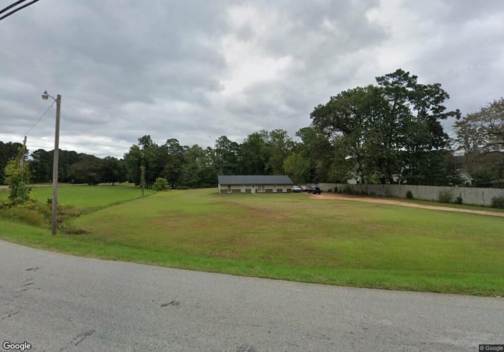
569 Senoia Rd Tyrone, GA 30290
Estimated Value: $251,000 - $358,000
Studio
--
Bath
1,072
Sq Ft
$275/Sq Ft
Est. Value
About This Home
This home is located at 569 Senoia Rd, Tyrone, GA 30290 and is currently estimated at $294,953, approximately $275 per square foot. 569 Senoia Rd is a home located in Fayette County with nearby schools including Crabapple Lane Elementary School, Flat Rock Middle School, and Sandy Creek High School.
Ownership History
Date
Name
Owned For
Owner Type
Purchase Details
Closed on
Jul 12, 2023
Sold by
Adams Tommy R
Bought by
Hunter Tyler
Current Estimated Value
Purchase Details
Closed on
Jul 6, 2023
Sold by
Hunter Cameron L
Bought by
Hunter Tyler
Purchase Details
Closed on
Nov 5, 2017
Sold by
Adams Jeremy S
Bought by
Adams Etheleen P
Purchase Details
Closed on
Nov 7, 2007
Sold by
Adams Joshua M
Bought by
Adams Kenneth
Create a Home Valuation Report for This Property
The Home Valuation Report is an in-depth analysis detailing your home's value as well as a comparison with similar homes in the area
Home Values in the Area
Average Home Value in this Area
Purchase History
| Date | Buyer | Sale Price | Title Company |
|---|---|---|---|
| Hunter Tyler | -- | None Listed On Document | |
| Hunter Tyler | -- | None Listed On Document | |
| Hunter Tyler | -- | None Listed On Document | |
| Adams Tommy R | -- | None Listed On Document | |
| Adams Etheleen P | -- | -- | |
| Adams Kenneth | -- | -- |
Source: Public Records
Tax History
| Year | Tax Paid | Tax Assessment Tax Assessment Total Assessment is a certain percentage of the fair market value that is determined by local assessors to be the total taxable value of land and additions on the property. | Land | Improvement |
|---|---|---|---|---|
| 2025 | $2,324 | $82,801 | $11,235 | $71,566 |
| 2024 | $2,324 | $77,384 | $10,500 | $66,884 |
| 2023 | $2,324 | $76,700 | $10,500 | $66,200 |
| 2022 | $2,247 | $73,180 | $10,500 | $62,680 |
| 2021 | $586 | $58,620 | $10,500 | $48,120 |
| 2020 | $541 | $53,300 | $10,500 | $42,800 |
| 2019 | $526 | $51,460 | $10,500 | $40,960 |
| 2018 | $484 | $47,580 | $9,700 | $37,880 |
| 2017 | $426 | $41,940 | $9,500 | $32,440 |
| 2016 | $392 | $37,740 | $9,500 | $28,240 |
| 2015 | $367 | $34,900 | $9,500 | $25,400 |
| 2014 | $359 | $33,180 | $9,500 | $23,680 |
| 2013 | -- | $32,740 | $0 | $0 |
Source: Public Records
Map
Nearby Homes
- 108 Tullamore Trail
- 235 Ashmere Ct
- 113 Creggan Hill Ct
- 100 Leisure Trail
- 255 Cicely Way
- 178 Crabapple Ln
- 134 Ardenlee Dr
- 110 Wickham Dr
- 140 Devonshire Place
- 152 Ardenlee Dr
- 308 Dalston Way
- 1107 Maybeck Way
- 404 Las Brasis Ct
- 1103 Maybeck Way
- 1100 Maybeck Way
- 377 Dogwood Trail
- 121 Sea Island Dr
- 132 Sea Island Dr
- 135 Arabian
- 502 Samiel Point
- 107 Regan Way
- 108 Regan Way
- 585 Senoia Rd
- 105 Regan Way
- 662 Dogwood Trail
- 106 Regan Way
- 103 Regan Way
- 135 Meadowood Ln
- 170 Meadowood Ln
- 101 Tullamore Trail
- 104 Regan Way
- 101 Regan Way Unit 1
- 101 Regan Way
- 103 Tullamore Trail
- 102 Regan Way Unit 8
- 102 Regan Way
- 110 Meadowood Ln
- 120 Meadowood Ln
- 619 Senoia Rd Unit A
- 145 Meadowood Ln
Your Personal Tour Guide
Ask me questions while you tour the home.