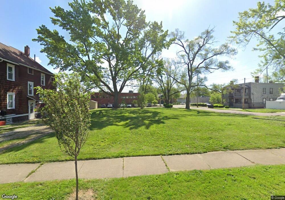
569 Talbot Ave Akron, OH 44306
East Akron NeighborhoodEstimated Value: $27,730 - $123,000
3
Beds
1
Bath
1,262
Sq Ft
$67/Sq Ft
Est. Value
About This Home
This home is located at 569 Talbot Ave, Akron, OH 44306 and is currently estimated at $84,933, approximately $67 per square foot. 569 Talbot Ave is a home located in Summit County with nearby schools including Case Preparatory Academy, Main Preparatory Academy, and Akron Preparatory school.
Ownership History
Date
Name
Owned For
Owner Type
Purchase Details
Closed on
Mar 22, 2005
Sold by
Barnhart Raymond T and Barnhart Emily E
Bought by
R T Barnhart Properties Llc
Current Estimated Value
Purchase Details
Closed on
Dec 3, 2002
Sold by
Herbert Lenny N
Bought by
Barnhart Raymond T and Barnhart Emily E
Purchase Details
Closed on
May 8, 2002
Sold by
Kaminski Alberta J
Bought by
Wells Fargo Bank Minnesota Na and Norwest Bank Minnesota Na
Purchase Details
Closed on
Sep 1, 2001
Sold by
Wells Fargo Bank Minnesota Na
Bought by
Herbert Lenny N
Create a Home Valuation Report for This Property
The Home Valuation Report is an in-depth analysis detailing your home's value as well as a comparison with similar homes in the area
Home Values in the Area
Average Home Value in this Area
Purchase History
| Date | Buyer | Sale Price | Title Company |
|---|---|---|---|
| R T Barnhart Properties Llc | -- | -- | |
| Barnhart Raymond T | $45,000 | -- | |
| Wells Fargo Bank Minnesota Na | $23,000 | Beacon Title | |
| Herbert Lenny N | $12,000 | Beacon Title |
Source: Public Records
Tax History
| Year | Tax Paid | Tax Assessment Tax Assessment Total Assessment is a certain percentage of the fair market value that is determined by local assessors to be the total taxable value of land and additions on the property. | Land | Improvement |
|---|---|---|---|---|
| 2025 | $229 | $2,916 | $2,916 | -- |
| 2024 | $229 | $2,916 | $2,916 | -- |
| 2023 | $191 | $2,916 | $2,916 | -- |
| 2022 | $191 | $1,715 | $1,715 | $0 |
| 2021 | $191 | $1,715 | $1,715 | $0 |
Source: Public Records
Map
Nearby Homes
- 1138 7th Ave
- 675 Hudson Ave
- 426 S Arlington St
- 547 van Everett Ave
- 1216 Bittaker St
- 884 Lovers Ln
- 0 Clara Ave
- 499 Elbon Ave
- 495 Elbon Ave
- 1171 Duane Ave
- 520 Ardella Ave
- 694 Virginia Ave
- 697 Roscoe Ave
- 552 Hudson Ave
- 718 Virginia Ave
- 1093 Joy Ave
- 379 Homestead St
- 807 Baird St
- 696 Merton Ave
- 941 Hunt St
- 1023 Mckinley Ave
- 569 1/2 Talbot Ave
- 565 Talbot Ave
- 573 Talbot Ave
- 561 Talbot Ave
- 1024 1026 Mc Kinley Ave
- 581 Talbot Ave
- 589 Talbot Ave
- 568 Talbot Ave
- 570 Talbot Ave
- 574 Talbot Ave
- 562 Talbot Ave
- 593 Talbot Ave
- 582 Talbot Ave
- 554 Talbot Ave
- 558 Talbot Ave
- 1001 Mckinley Ave
- 547 Talbot Ave
- 597 Talbot Ave
- 550 Talbot Ave
