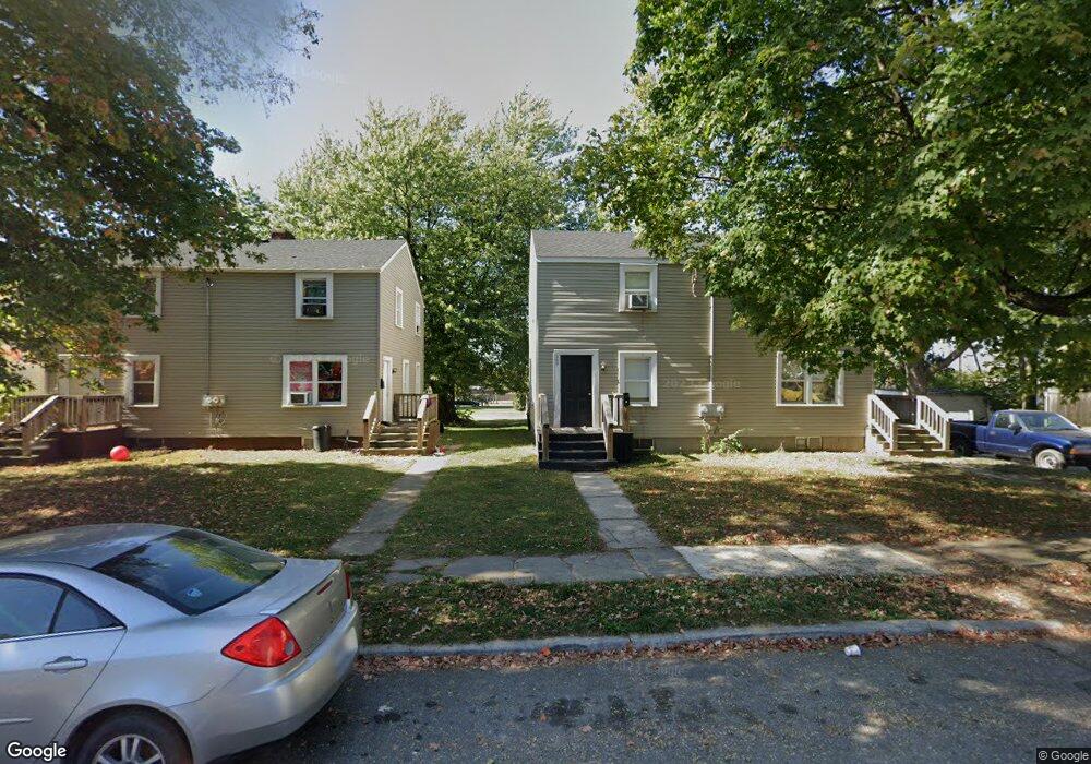
569 Universal Ave Marion, OH 43302
Estimated Value: $81,000 - $112,000
4
Beds
1
Bath
1,536
Sq Ft
$60/Sq Ft
Est. Value
About This Home
This home is located at 569 Universal Ave, Marion, OH 43302 and is currently estimated at $92,774, approximately $60 per square foot. 569 Universal Ave is a home located in Marion County with nearby schools including Rutherford B. Hayes Elementary School, Ulysses S. Grant Middle School, and Harding High School.
Ownership History
Date
Name
Owned For
Owner Type
Purchase Details
Closed on
Apr 8, 2016
Sold by
Cress William D and Cress Becky L
Bought by
Field Preston W
Current Estimated Value
Home Financials for this Owner
Home Financials are based on the most recent Mortgage that was taken out on this home.
Original Mortgage
$210,000
Outstanding Balance
$166,503
Interest Rate
3.62%
Mortgage Type
Purchase Money Mortgage
Estimated Equity
-$73,729
Purchase Details
Closed on
Mar 13, 2001
Bought by
Field Preston W
Purchase Details
Closed on
Mar 4, 1999
Bought by
Field Preston W
Purchase Details
Closed on
Jul 16, 1992
Bought by
Field Preston W
Create a Home Valuation Report for This Property
The Home Valuation Report is an in-depth analysis detailing your home's value as well as a comparison with similar homes in the area
Home Values in the Area
Average Home Value in this Area
Purchase History
| Date | Buyer | Sale Price | Title Company |
|---|---|---|---|
| Field Preston W | $122,000 | Attorney | |
| Field Preston W | $68,000 | -- | |
| Field Preston W | -- | -- | |
| Field Preston W | $29,300 | -- |
Source: Public Records
Mortgage History
| Date | Status | Borrower | Loan Amount |
|---|---|---|---|
| Open | Field Preston W | $210,000 |
Source: Public Records
Tax History Compared to Growth
Tax History
| Year | Tax Paid | Tax Assessment Tax Assessment Total Assessment is a certain percentage of the fair market value that is determined by local assessors to be the total taxable value of land and additions on the property. | Land | Improvement |
|---|---|---|---|---|
| 2024 | $1,054 | $18,250 | $2,150 | $16,100 |
| 2023 | $1,054 | $18,250 | $2,150 | $16,100 |
| 2022 | $1,232 | $18,250 | $2,150 | $16,100 |
| 2021 | $1,253 | $15,280 | $1,870 | $13,410 |
| 2020 | $1,217 | $15,280 | $1,870 | $13,410 |
| 2019 | $1,055 | $15,280 | $1,870 | $13,410 |
| 2018 | $397 | $9,990 | $1,870 | $8,120 |
| 2017 | $402 | $9,990 | $1,870 | $8,120 |
| 2016 | $399 | $9,990 | $1,870 | $8,120 |
| 2015 | $398 | $9,750 | $1,780 | $7,970 |
| 2014 | $400 | $9,750 | $1,780 | $7,970 |
| 2012 | $543 | $13,200 | $1,830 | $11,370 |
Source: Public Records
Map
Nearby Homes
- 551 Universal Ave Unit 555
- 552 N Prospect St
- 233 Tully St
- 343 Commercial St
- 347 Mary St
- 236 Silver St
- 593 N State St
- 395 N Main St
- 736 N Main St
- 468 Avondale Ave
- 375 N Main St
- 473 Avondale Ave
- 197 Wallace St
- 434 N State St
- 520 Toledo Ave
- 641 Blake Ave
- 197 Harrison St
- 531 Toledo Ave
- 455 Park St
- 690 Meadow St
- 563 Universal Ave Unit 567
- 581 Universal Ave
- 581 Universal Ave Unit 585
- 595 Universal(p)
- 8476 Universal Ave
- 557 Universal Ave Unit 561
- 587 Universal Ave
- 570 Catherine Ave
- 560 Catherine Ave
- 564 Universal Ave
- 558 Universal Ave
- 562 Universal Ave
- 582 Catherine Ave
- 615-617 615 Universal Ave
- 556 Catherine Ave
- 601 Universal Ave
- 545 Universal Ave
- 595 Universal Ave
- 550 Catherine Ave
- 588 Universal Ave