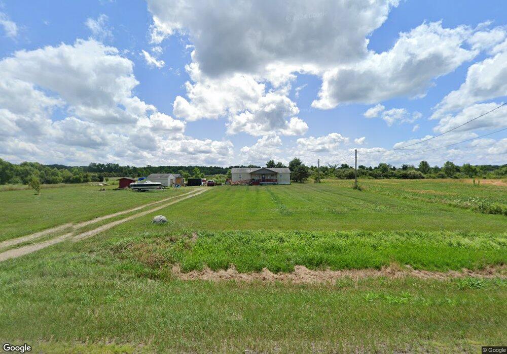
569 Us Highway 224 Sullivan, OH 44880
Estimated Value: $183,000 - $279,000
3
Beds
1
Bath
1,512
Sq Ft
$153/Sq Ft
Est. Value
About This Home
This home is located at 569 Us Highway 224, Sullivan, OH 44880 and is currently estimated at $231,775, approximately $153 per square foot. 569 Us Highway 224 is a home located in Ashland County with nearby schools including Black River Education Center Elementary School, Black River Education Center Middle School, and Black River High School.
Ownership History
Date
Name
Owned For
Owner Type
Purchase Details
Closed on
Jun 17, 2015
Sold by
Jones Robert J
Bought by
Bennett Richard E and Bennett Evelyn S
Current Estimated Value
Purchase Details
Closed on
Nov 7, 2008
Sold by
Bennett Richard E and Bennett Marsha
Bought by
Bennett Richard E
Purchase Details
Closed on
Nov 19, 1999
Sold by
Jones Robert J
Bought by
Bennett Richard E
Purchase Details
Closed on
Mar 21, 1996
Bought by
Jones Robert J
Create a Home Valuation Report for This Property
The Home Valuation Report is an in-depth analysis detailing your home's value as well as a comparison with similar homes in the area
Home Values in the Area
Average Home Value in this Area
Purchase History
| Date | Buyer | Sale Price | Title Company |
|---|---|---|---|
| Bennett Richard E | -- | -- | |
| Bennett Richard E | -- | -- | |
| Bennett Richard E | $35,000 | -- | |
| Jones Robert J | -- | -- |
Source: Public Records
Tax History Compared to Growth
Tax History
| Year | Tax Paid | Tax Assessment Tax Assessment Total Assessment is a certain percentage of the fair market value that is determined by local assessors to be the total taxable value of land and additions on the property. | Land | Improvement |
|---|---|---|---|---|
| 2024 | $1,943 | $54,680 | $21,330 | $33,350 |
| 2023 | $1,943 | $54,680 | $21,330 | $33,350 |
| 2022 | $1,569 | $40,500 | $15,800 | $24,700 |
| 2021 | $1,598 | $40,500 | $15,800 | $24,700 |
| 2020 | $1,562 | $40,500 | $15,800 | $24,700 |
| 2019 | $1,350 | $34,610 | $12,480 | $22,130 |
| 2018 | $1,368 | $34,610 | $12,480 | $22,130 |
| 2017 | $1,267 | $34,610 | $12,480 | $22,130 |
| 2016 | $1,267 | $31,470 | $11,350 | $20,120 |
| 2015 | $1,225 | $31,470 | $11,350 | $20,120 |
| 2013 | $1,359 | $34,140 | $11,910 | $22,230 |
Source: Public Records
Map
Nearby Homes
- 518 U S 224
- 0 Cr 500 Unit 5128432
- 0 Cr 500 Unit 5128436
- 0 Cr 500 Unit 5128435
- 0 Township Road 581 Unit 5154852
- 76 Township Road 581
- V/L Township Road 391
- 443 Township Road 462
- 327 Township Road 350
- 377 County Road 40
- 46748 New London Eastern Rd
- 4228 Majorna Dr
- 831 Township Road 462
- 4040 Cinnamon Dr
- 4040 Cinnamon Dr N
- 3201 Manzanita Dr
- 504 Ohio 89
- 3241 Madrona Ct
- 3266 Arrick Dr
- 3027 Cinnamon Dr W
- 559 Rt 224
- 574 Us Highway 224
- 563 Us Highway 224
- 563 Us Highway 224
- 563 Us Highway 224
- 563 Us Highway 224
- 563 Us Highway 224
- 563 U S 224
- 570 Us Rte 224
- 267 Township Road 581
- 559 Us Highway 224
- 238 Twp Rd 581
- 79 Township Road 581
- 560 Us Highway 224
- 560 Us Highway 224
- 560 Us Highway 224
- 560 Us Rt 224
- 269 Township Road 581
- 560 U S 224
- 587 Us Highway 224