5690 102nd St Armstrong, IA 50514
Estimated Value: $512,000 - $777,379
4
Beds
6
Baths
3,143
Sq Ft
$205/Sq Ft
Est. Value
About This Home
This home is located at 5690 102nd St, Armstrong, IA 50514 and is currently estimated at $644,690, approximately $205 per square foot. 5690 102nd St is a home with nearby schools including North Union High School.
Ownership History
Date
Name
Owned For
Owner Type
Purchase Details
Closed on
Oct 21, 2024
Sold by
Gr Family Trust and Oleson Greg E
Bought by
Peterson Jeremy J and Peterson Katelin
Current Estimated Value
Purchase Details
Closed on
Aug 28, 2024
Sold by
Grpp Family Trust and Oleson Greg E
Bought by
Oleson Greg E and Oleson Rhonda R
Purchase Details
Closed on
Feb 22, 2022
Sold by
Oleson Greg E and Oleson Rhonda R
Bought by
Grpp Family Trust
Purchase Details
Closed on
Sep 5, 2007
Sold by
Cook Julia L
Bought by
Olson Greg E and Olson Rhonda R
Create a Home Valuation Report for This Property
The Home Valuation Report is an in-depth analysis detailing your home's value as well as a comparison with similar homes in the area
Home Values in the Area
Average Home Value in this Area
Purchase History
| Date | Buyer | Sale Price | Title Company |
|---|---|---|---|
| Peterson Jeremy J | $1,600,500 | None Listed On Document | |
| Gr Family Trust | -- | None Listed On Document | |
| Oleson Greg E | -- | None Listed On Document | |
| Grpp Family Trust | -- | None Listed On Document | |
| Olson Greg E | $120,000 | None Available |
Source: Public Records
Tax History Compared to Growth
Tax History
| Year | Tax Paid | Tax Assessment Tax Assessment Total Assessment is a certain percentage of the fair market value that is determined by local assessors to be the total taxable value of land and additions on the property. | Land | Improvement |
|---|---|---|---|---|
| 2025 | $7,366 | $740,200 | $99,700 | $640,500 |
| 2024 | $7,366 | $717,400 | $99,700 | $617,700 |
| 2023 | $7,824 | $717,000 | $99,700 | $617,300 |
| 2022 | $7,640 | $664,900 | $99,700 | $565,200 |
| 2021 | $7,640 | $666,000 | $99,700 | $566,300 |
| 2020 | $7,814 | $662,400 | $88,900 | $573,500 |
| 2019 | $7,636 | $632,700 | $0 | $0 |
| 2018 | $7,620 | $635,000 | $0 | $0 |
| 2017 | $15,416 | $638,700 | $0 | $0 |
| 2016 | $7,708 | $641,000 | $0 | $0 |
| 2015 | $7,708 | $612,600 | $0 | $0 |
| 2014 | $7,458 | $565,200 | $0 | $0 |
Source: Public Records
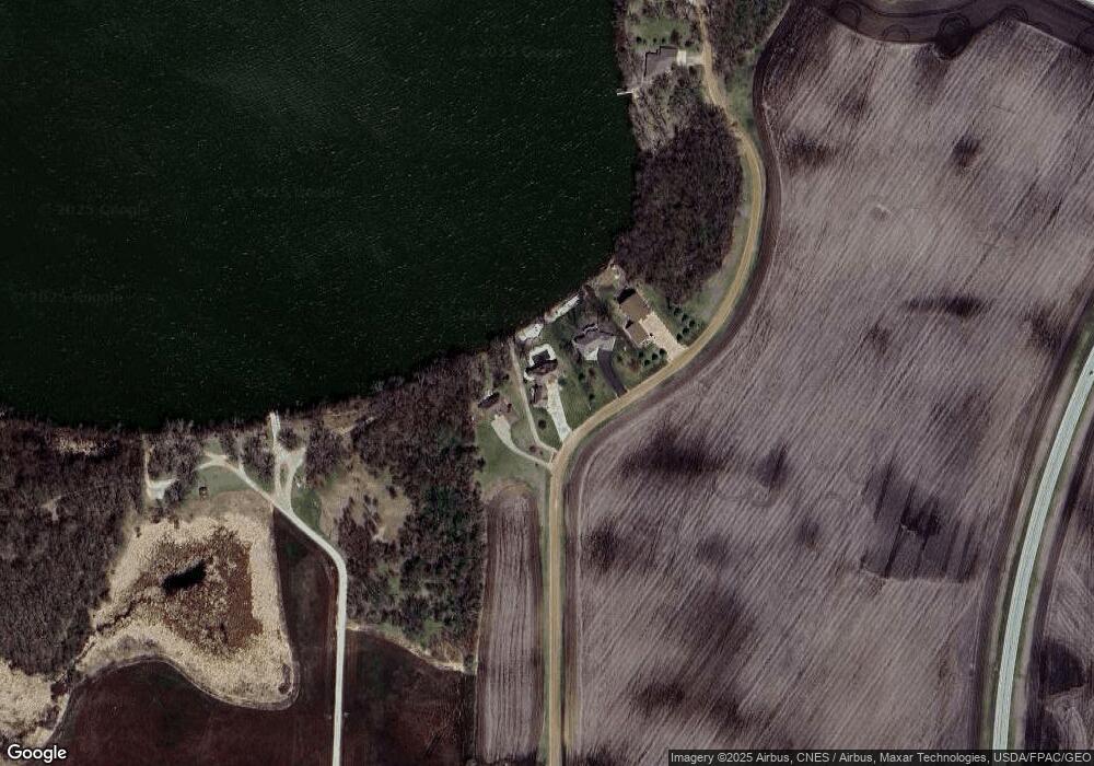
Map
Nearby Homes
- 1011 Iowa 15
- 1011 Highway 15
- 2 Coleman Ln
- 276 180th Ave
- 201 4th St
- 907 A Ave
- 705 Adams St
- 775 200th Ave
- 3702 W Amber Lake Dr
- 3703 Cedar Park Rd
- 0000 Tuttle Lake Ct
- 000 Tuttle Lake Ct
- 5019 175th St
- 110 Dorothy St
- 2109 95th St
- 411 S Center St
- 2214 Red Bird Ln
- 2224 Red Bird Ln
- 2218 Red Bird Ln
- 2413 Albion Ave
- 5688 102nd St Unit A
- 5692 102nd St Unit A
- 5694 102nd St
- 5704 102nd St Unit A
- 5708 102nd St Unit A
- 5714 102nd St
- 5714 102nd St Unit A
- 5716 102nd St Unit A
- 1041 Highway 15
- 5718 102nd St Unit A
- 5718 102 St
- 5718 102nd St
- 5720 102nd St Unit A
- 5722 102nd St
- 5724 102nd St Unit A
- 5730 102 St
- 5730 102nd St
- 5732 102nd St
- 5734 102nd St
- 5742 102nd St